Tuesday, January 24/23 – Blackwater Rafting

You might ask, what the heck is blackwater rafting? It’s simply whitewater rafting underground in a system of caves where, with no artificial light, it’s very, very dark or, say, black.

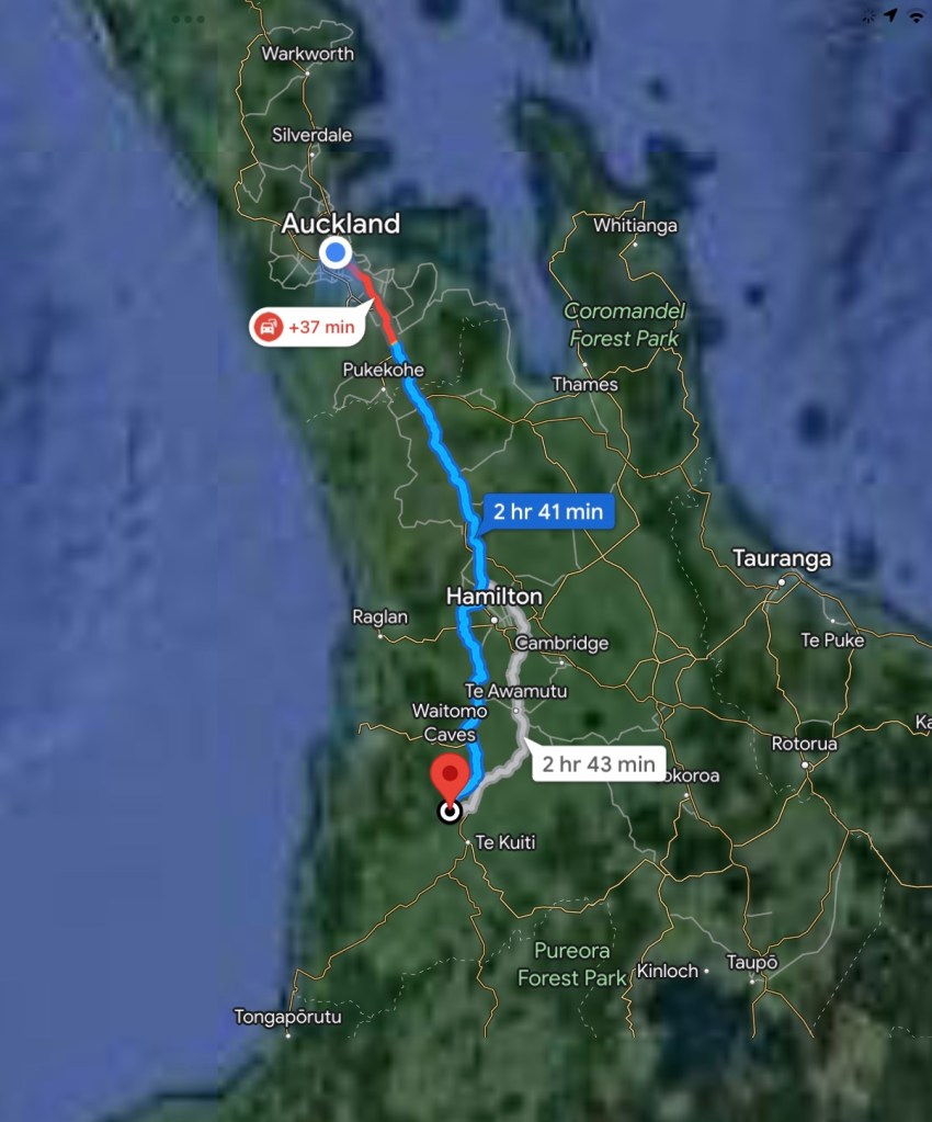
We set off in our tiny little car, affectionately dubbed Sparky, for the Waitomo caves south of Auckland. Auckland traffic is beyond description hence the heavy red line near the city.
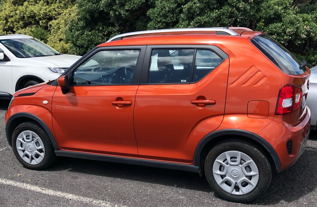
Sparky

We joined 8 members of the NZ under 23 national triathlon team who were taking a day off training in squeezing into full body wet suits complete with miners helmet and light. Flattering doesn’t come to mind.
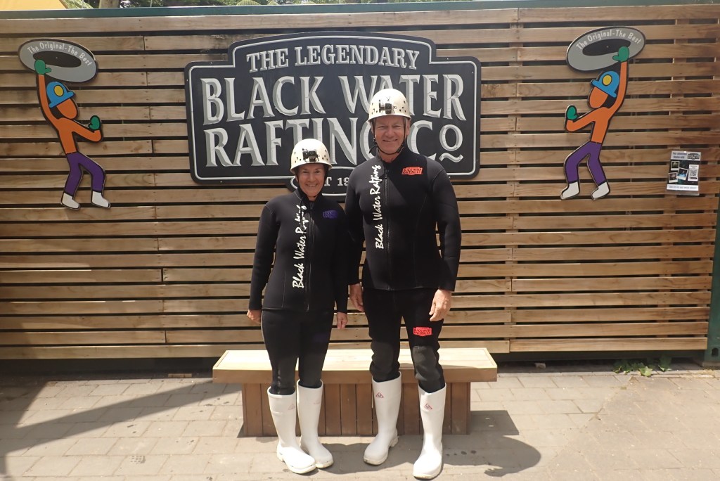
Ready for the cold, wet and dark

We were then driven to a river to be taught the technique of jumping backwards off waterfalls clutching an inner tube. It was also an icy introduction to the water we would be immersed in, in the caves. Some handled it slightly better than others.
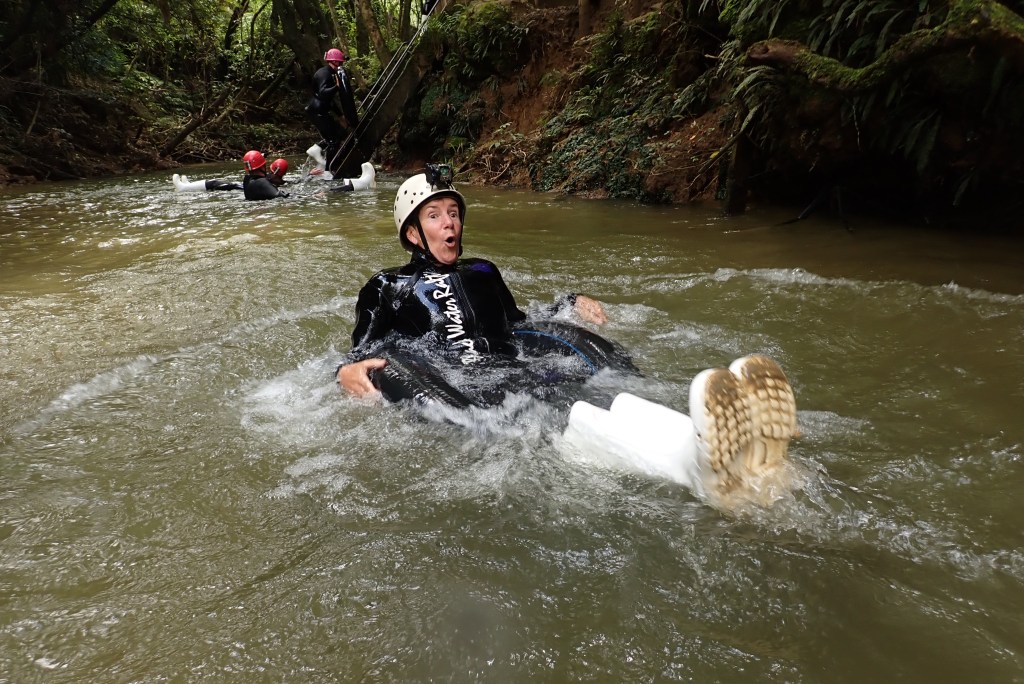
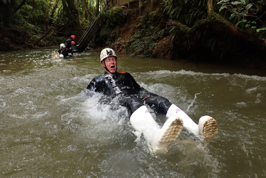
The big white boots were necessary for those sections where walking in the water on rocks would occur. They had drain holes in the sides to help minimize the weight.

Then it was time to squeeze underground. This is not for the faint of heart of small dark places with rushing water.
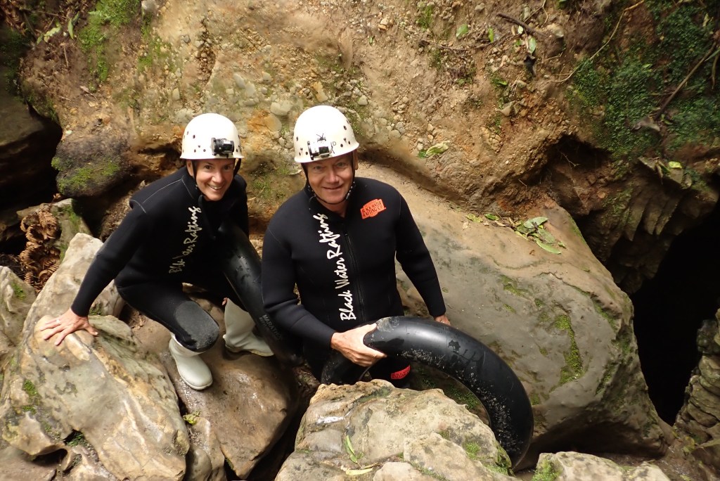
Into the caves we go.

At times we waded through the rushing water but much of the journey was spent balanced on small inner tubes when the current slowed.
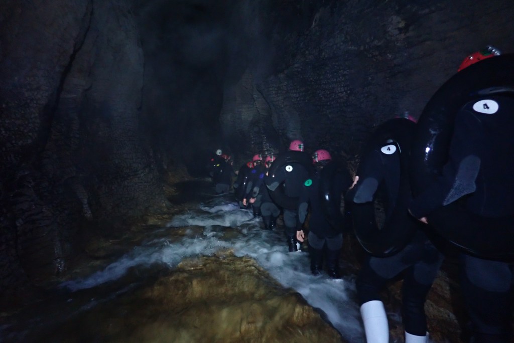
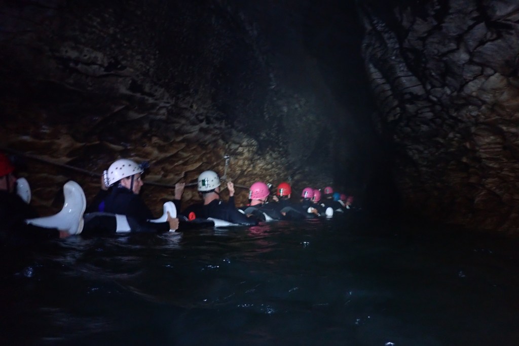
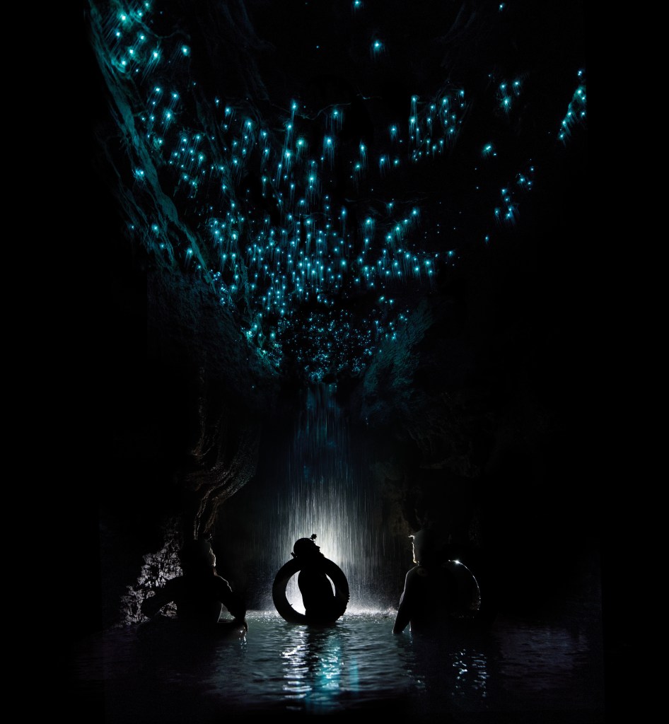
The trip marketing material hi lights (no pun intended) the presence of millions of glow worms in some of the larger caverns. It was magical when all our lamps were turned off and the ceiling glowed like a beautiful bluish green sky full of stars.

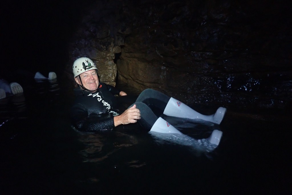
Of course we had to have the requisite tourist shot which also confirmed we hadn’t got lost and were still warm enough to smile.

And in one section we were given the option to crawl through a small water filled tunnel. Only idiots need apply.
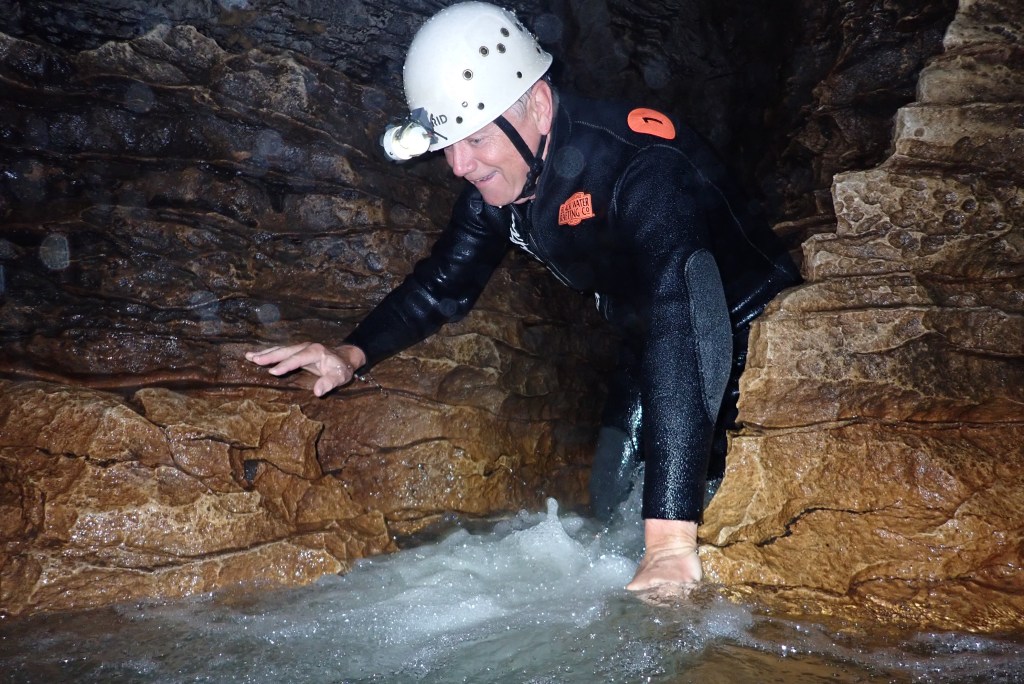
Safely out the other end

All too soon, although it was nearly 90 minutes underground, we emerged back into sunlight and a waterlogged clamber out of the river.

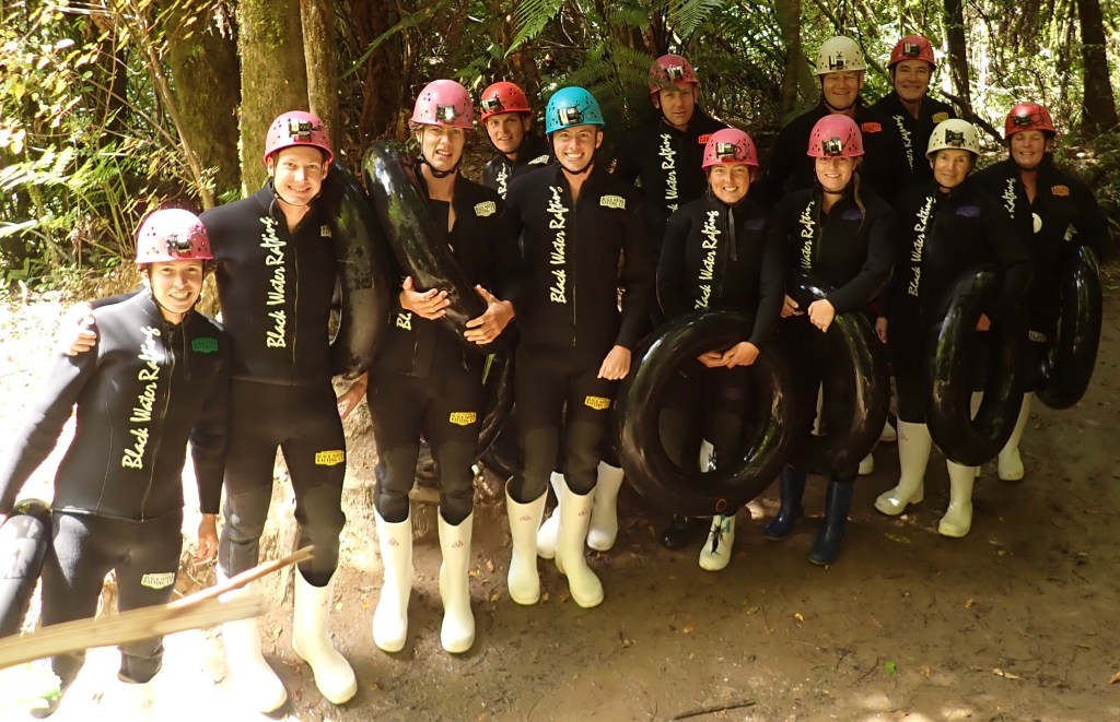
Journey’s end
The young and not so young

Back on the bus to the equipment depot where, comically, we shrugged off the wetsuits and stood luxuriating in steamy hot showers. A large hot chocolate helped immensely as well. Back into Sparky for the return to Auckland and the end of another unique adventure. Simply a wow day.

Tomorrow, golf! Look out Muriwai GC on the west coast.

Monday, January 23/23 – Auckland By Bike

How does one follow up 14 days of intense physical effort in the mountains of the South Island of New Zealand? Why, of course, you fly to the north island, absorb a quick reminder of the vagaries of driving a car on the left, grab some sleep and then go for a 3 1/2 hour bike tour of Auckland. A huge disclaimer – they were powerful e bikes and our biggest challenge was learning what buttons to push and not veering into traffic.

Our tour started on the waterfront and eventually took us to the highest point in the city, Mount Eden.

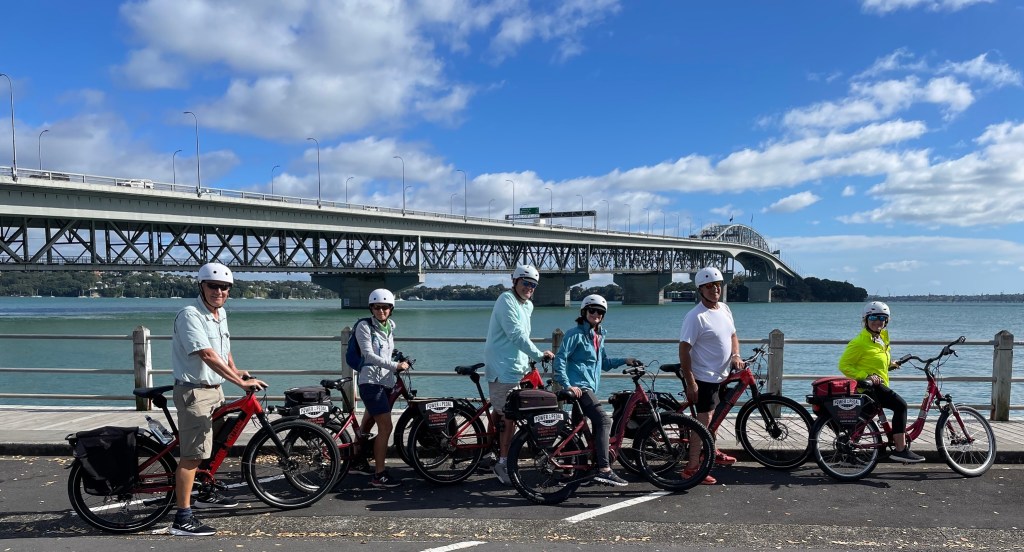
Ready to pedal – or not

Our guide was a knowledgeable historian and took us through the evolution of the area from a Māori stronghold to a British base to the vibrant metropolis of 1.6M that exists today.

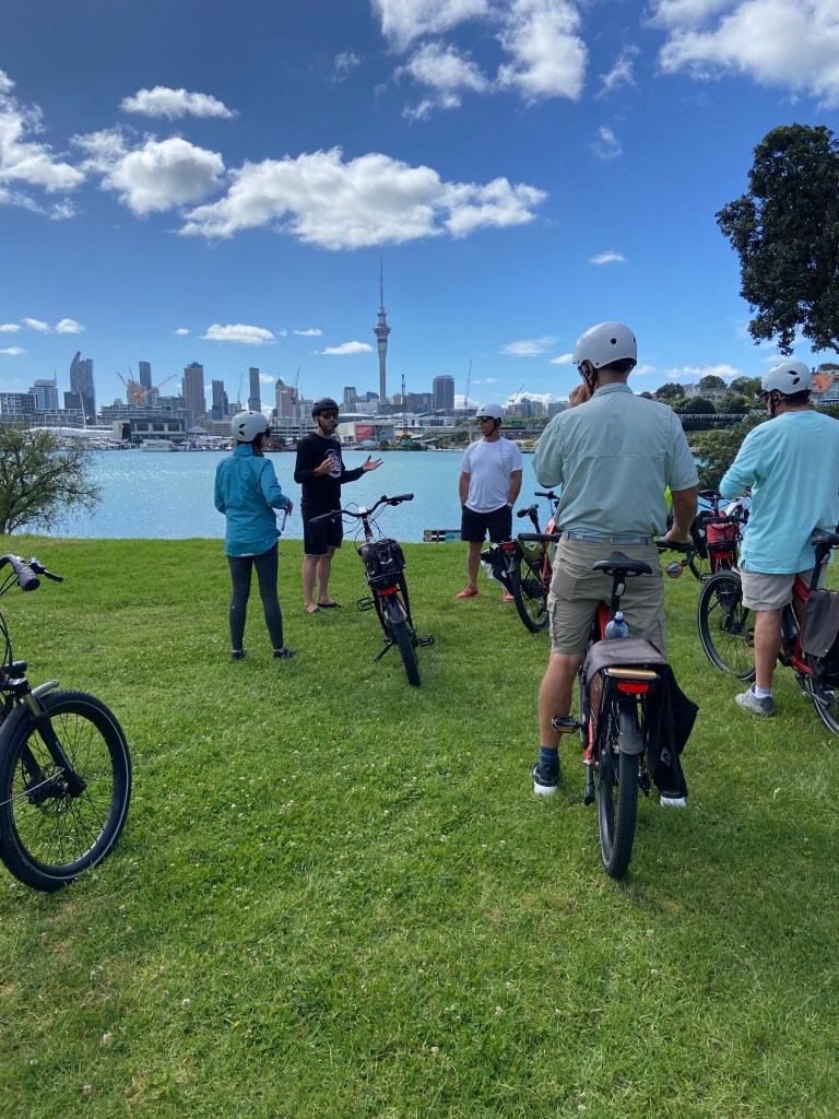
Even with Bluetooth headsets an occasional stop for additional information

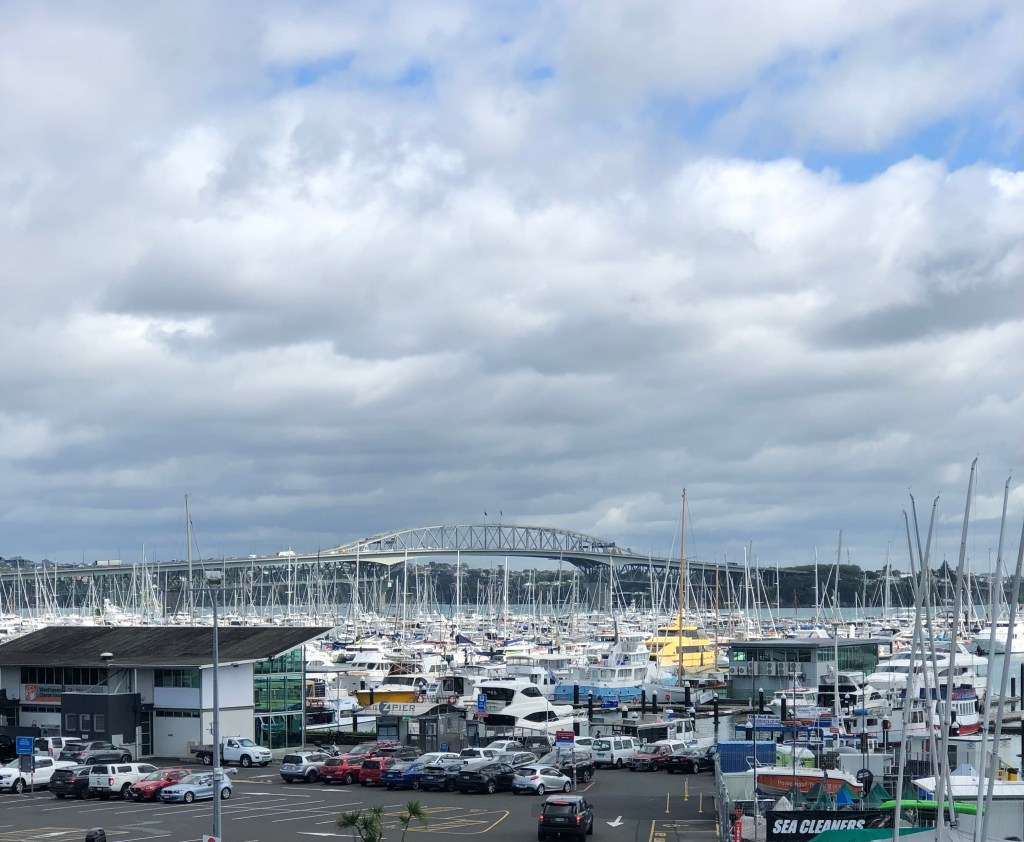
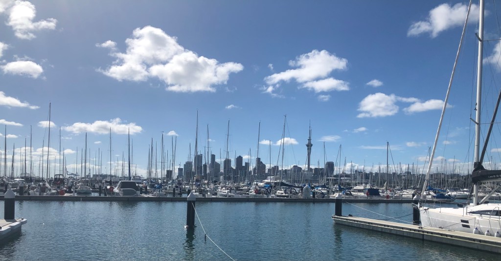
With bays, coves, rivers and the ocean at its doorstep, it’s no wonder Auckland is a city of boats. The world’s largest marina (2,000+ berths) hosts a staggering array of every imaginable type of sailboat and yacht.

The city also is attempting to get more people out of cars and has a very friendly approach to developing bike lanes and rights of way.

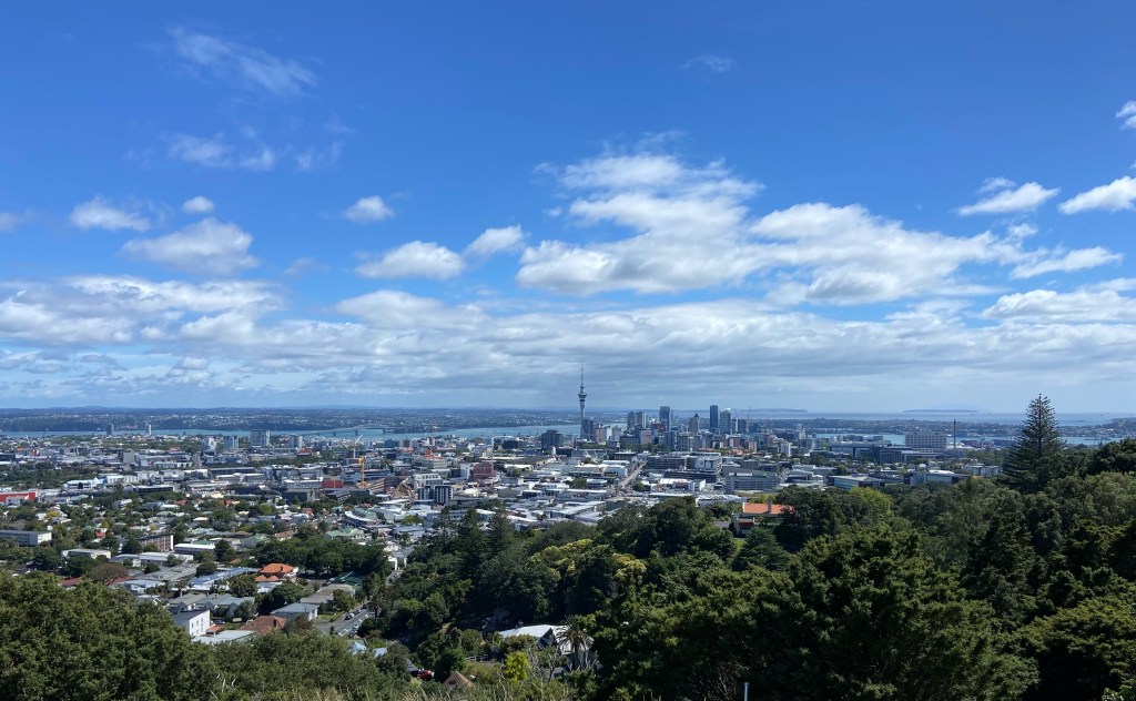
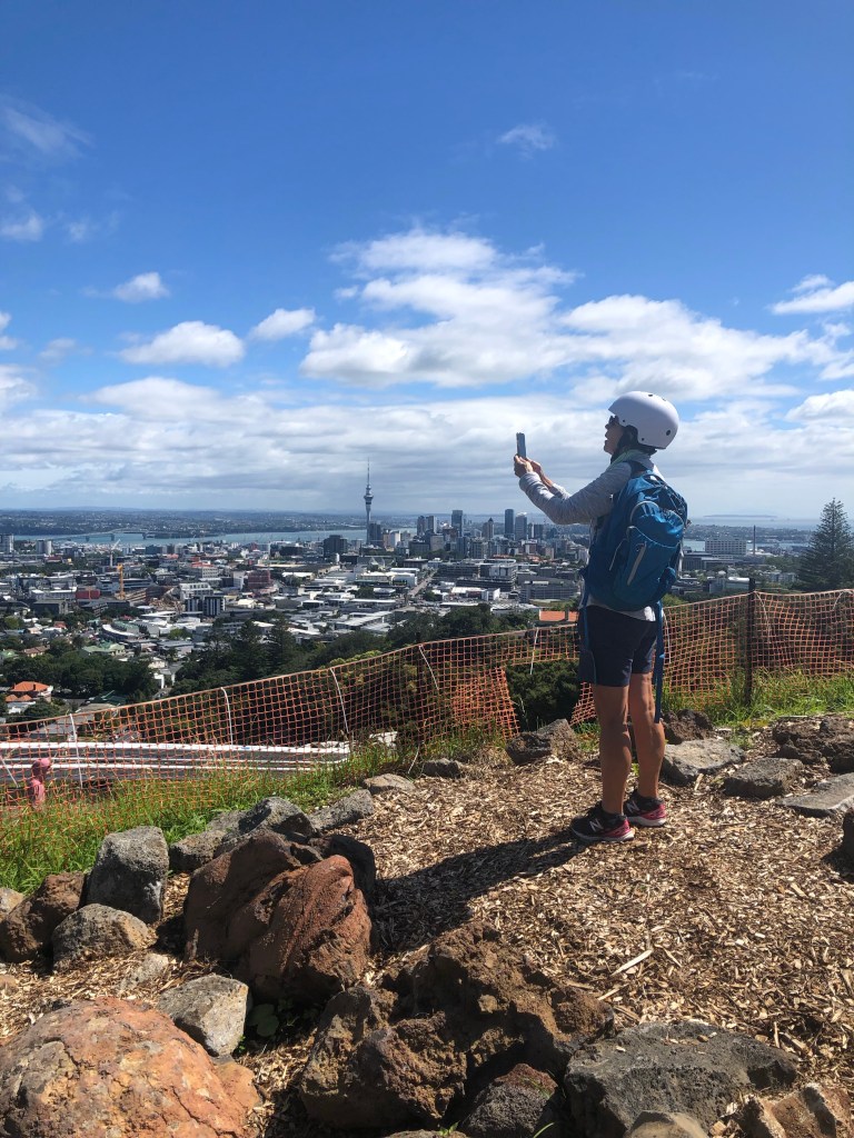
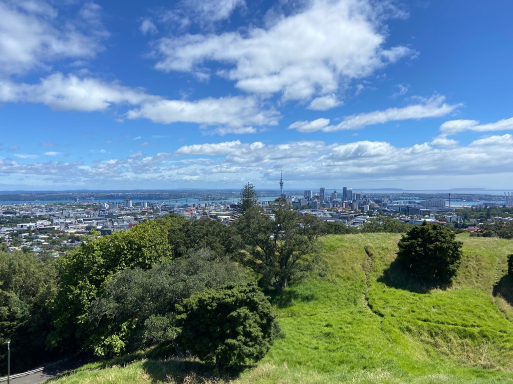
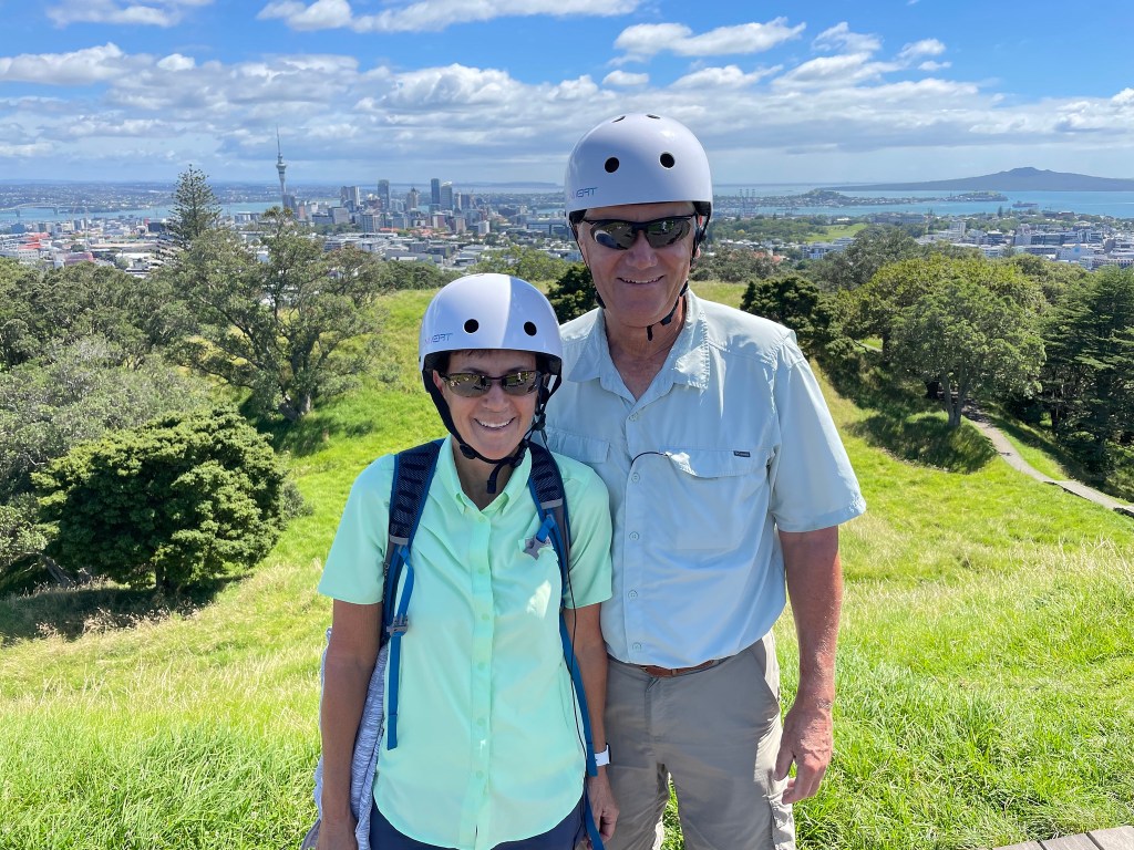
The hills, and there are some steep ones, were a breeze with the e bike so getting to the top of Mount Eden was no problem. As with our hikes, the reward was the view.

View from Mount Eden

Then it was back down to the harbour with our guide describing numerous landmarks on the way. We also saw many vestiges of NZ’s participation in the Americas Cup sailing race including the launch of a small prototype used for testing potential design features of the next generation of yachts.

The harbour is a bustling place full of F&B options. Having worked so hard on the bike – NOT, we certainly had to rehydrate.

Cheers

Tomorrow we take action adventure to a new level with a walk/float through caves south of the city. With glow worms adorning some of the caverns it could be quite illuminating.

Saturday, January 21/23 – “The Big Hike” Day 3

The finale of our hiking holiday proved to be a fitting act. It included lots of incredibles: the route, the scene, the views, the challenge and the sense of accomplishment at the end.

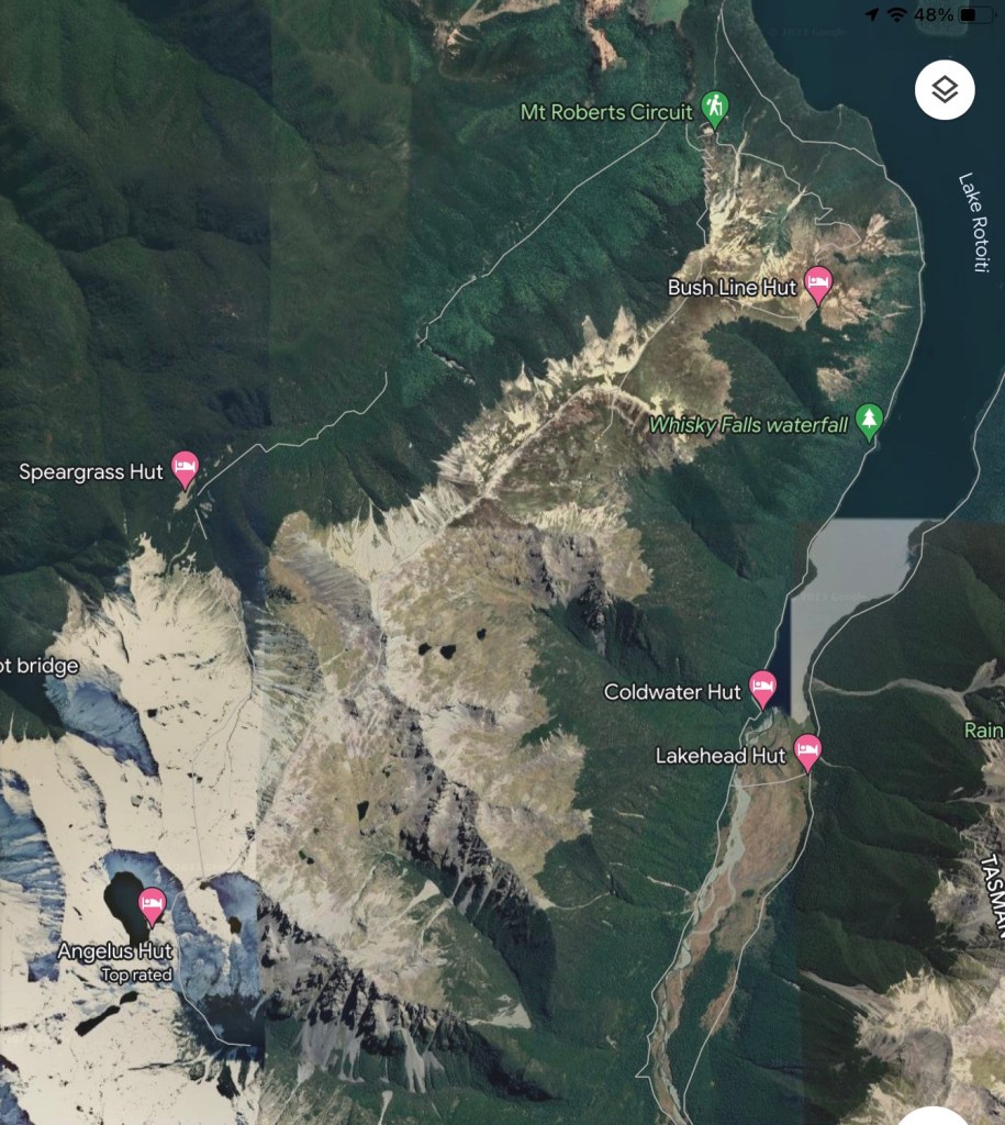
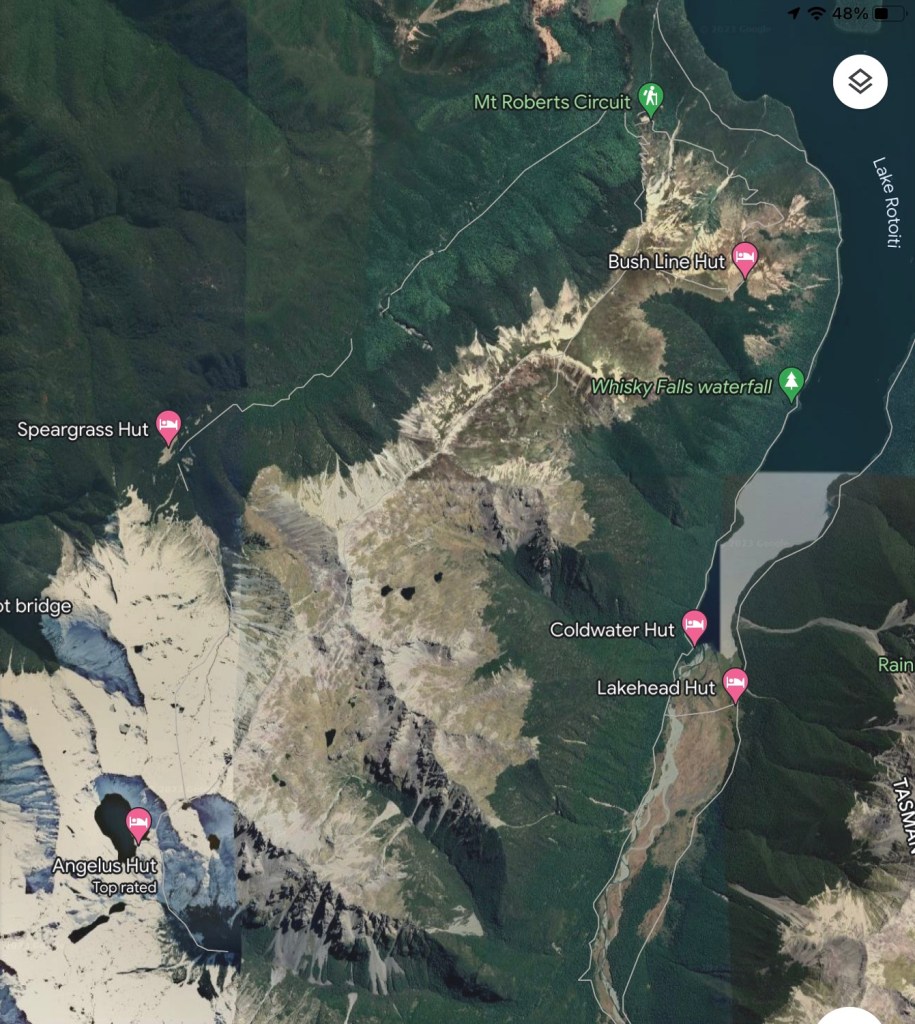
Day three required hiking up from the Angelus hut to the spine of Robert’s Ridge and eventually down to the start of the Robert’s circuit near Lake Rototi, thereby almost closing a big loop.

Day 3 – Angelus hut to start of Mt Roberts Circuit

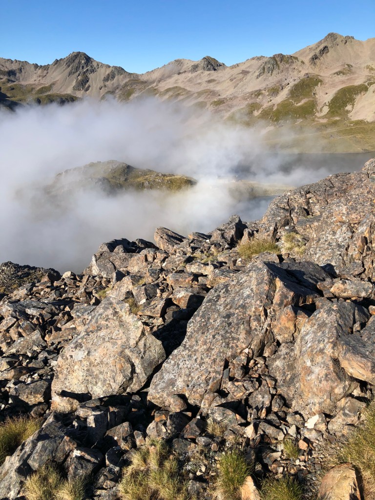
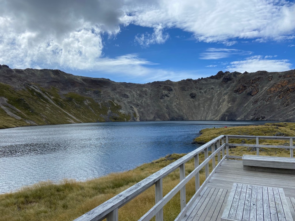
We had consumed all the provisions save a lunch sandwich but loaded up on water given there was no drinking source awaiting us in the next six plus hours. The backpacks did feel slightly lighter or perhaps our shoulder muscles no longer had any feeling. The early start created a movie set scene of mist on the lake.

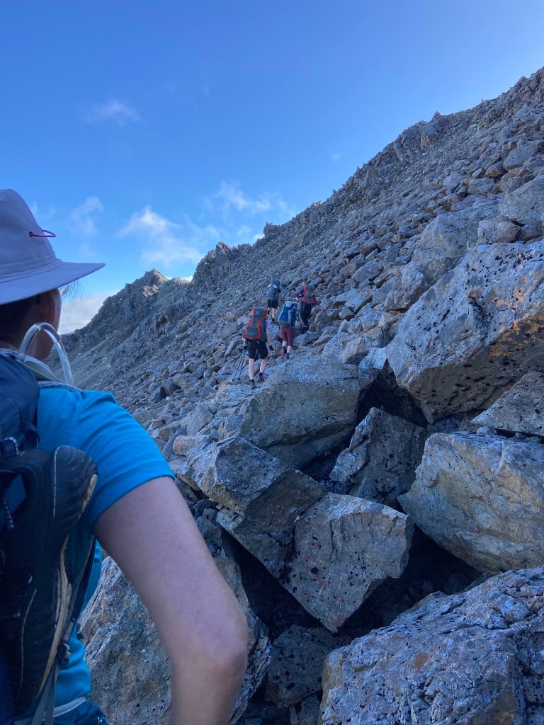
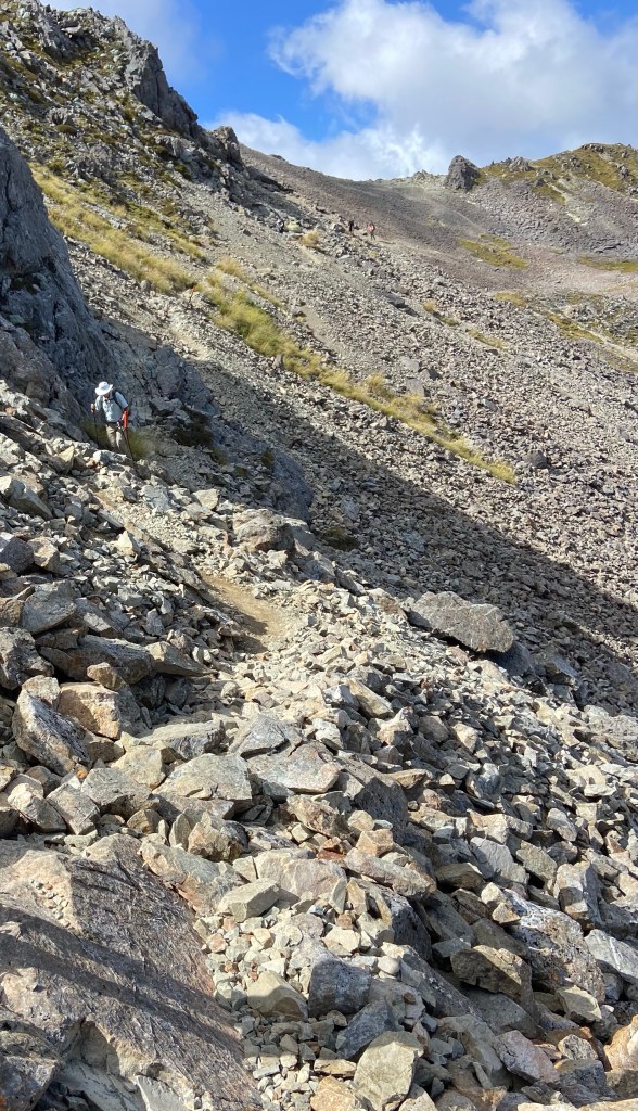
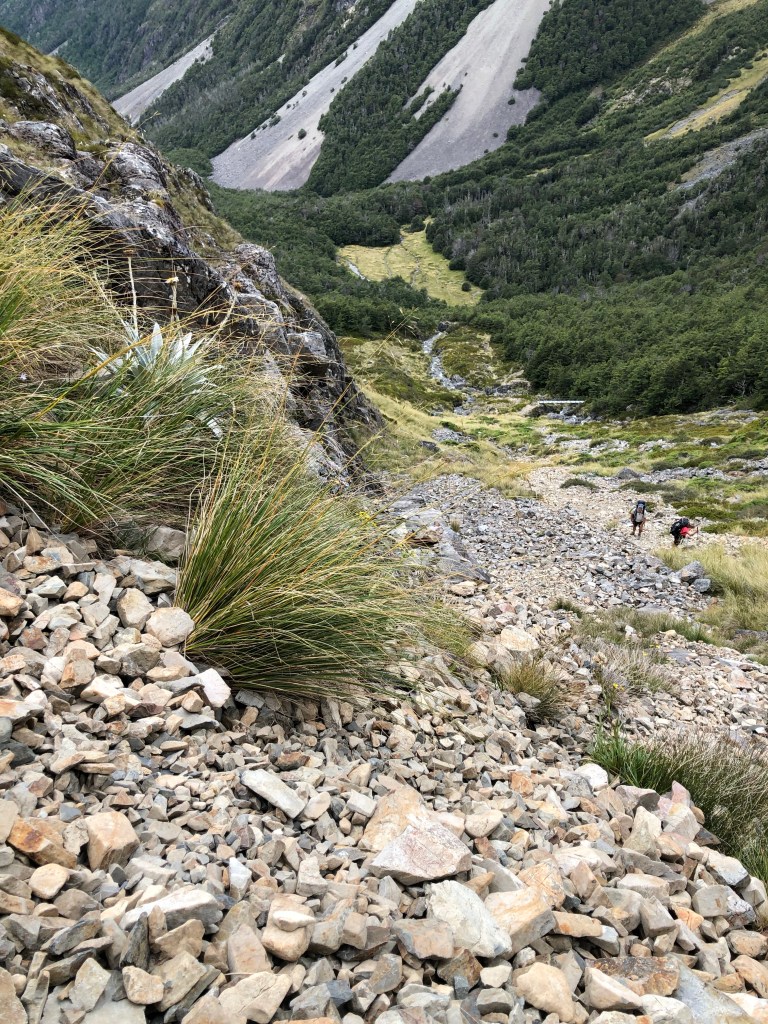
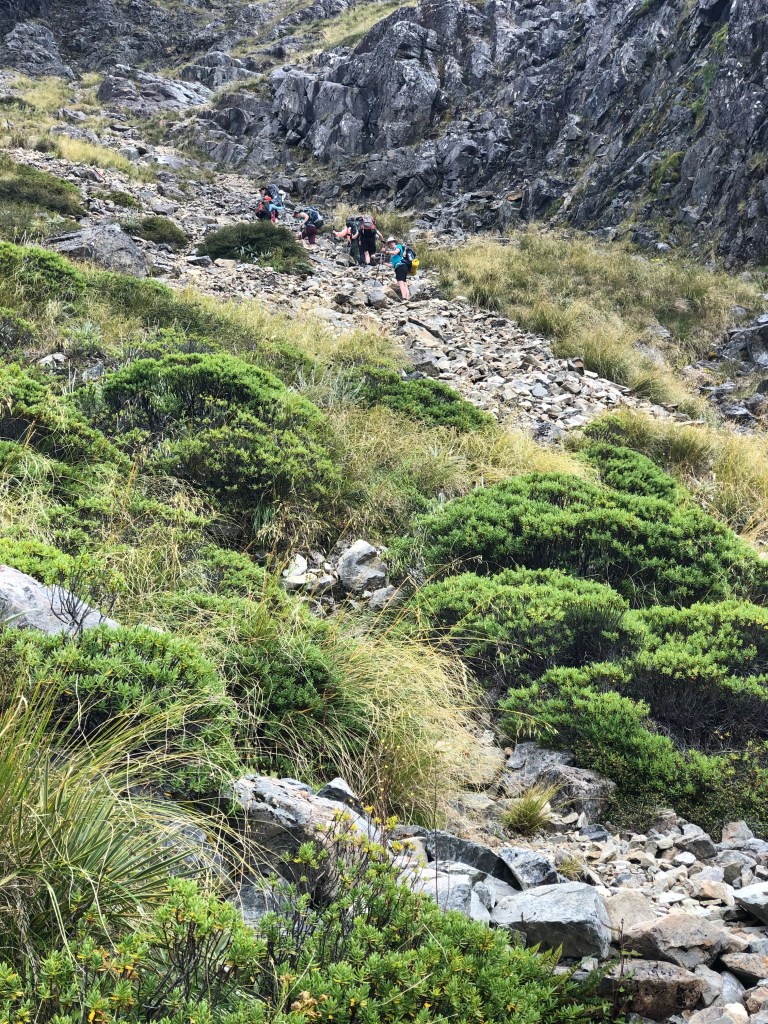
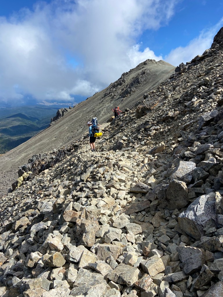
We had to climb out of the volcano by traversing a steep rock fall in order to access the ridge at the top. It too was from a movie set, perhaps, on Mars.

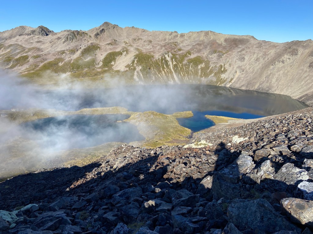
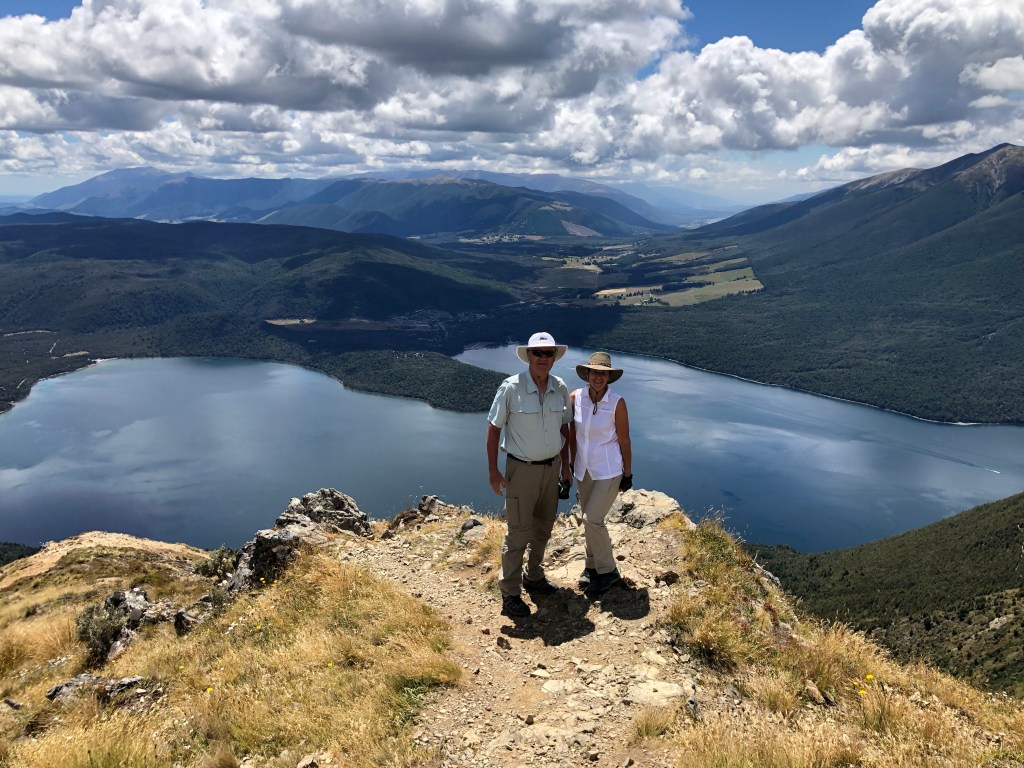
We were able to look back down on the lake at our now tiny hut and marvel at Mother Nature’s work.

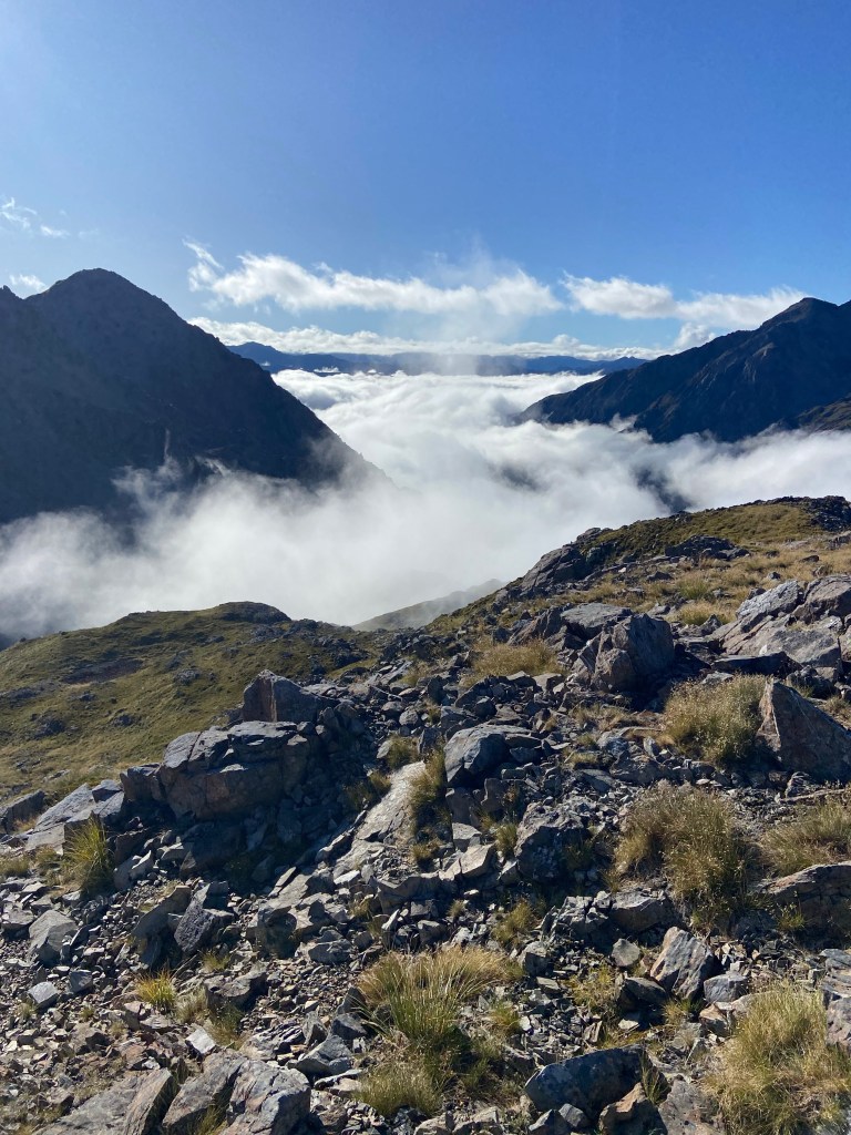
Then we found ourselves above the clouds and in the bright sunshine. Jaw dropping.

There was still a few hundred meters of climbing before we escaped the volcano.

Finally after a couple of hours we crested the ridge.

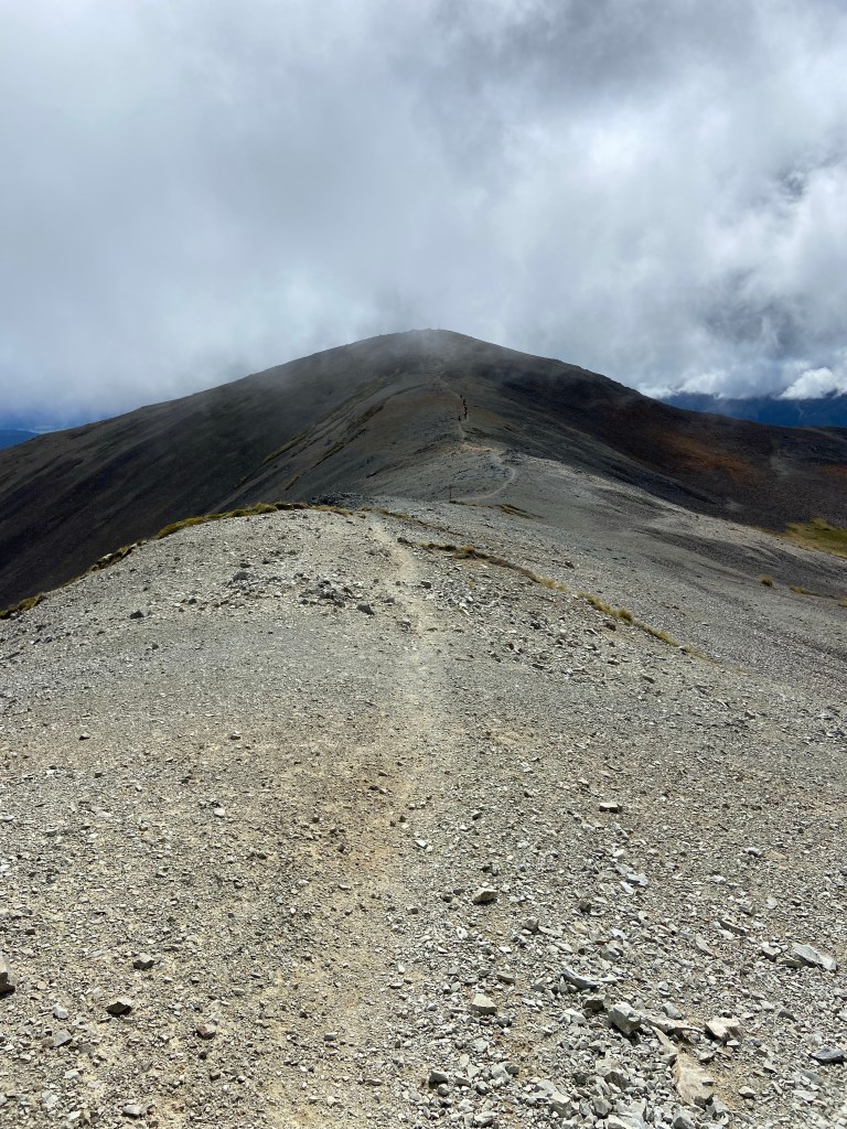
And now we could start down albeit along a narrow track called Robert’s Ridge. Not surprisingly there were still some ups to come as well.

Strong wind and cool mist on Roberts Ridge

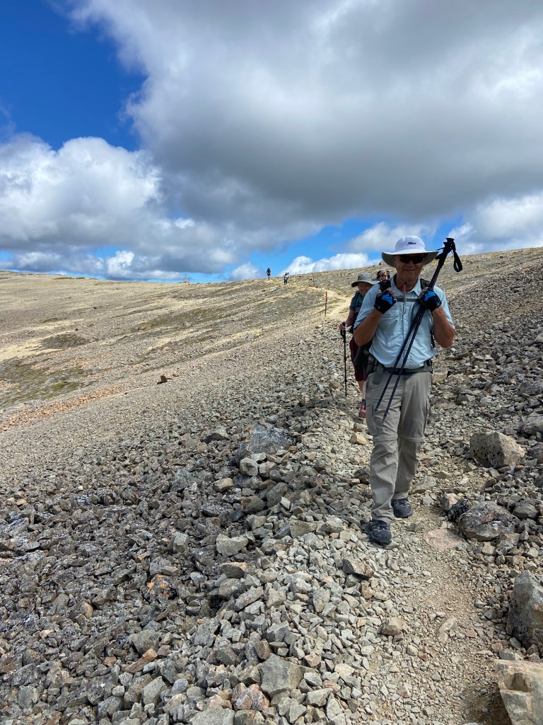
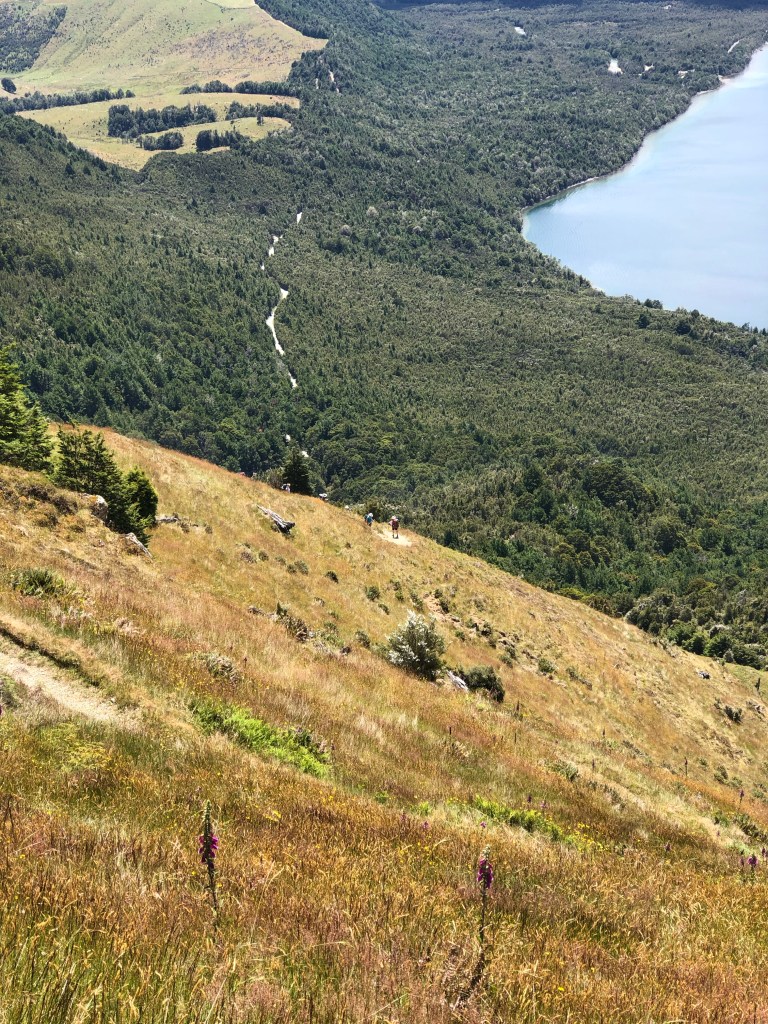
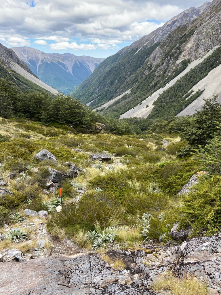
The track was slippery given the loose shale but the grade was bearable. Not exactly a walk in the park but we were on our way down.

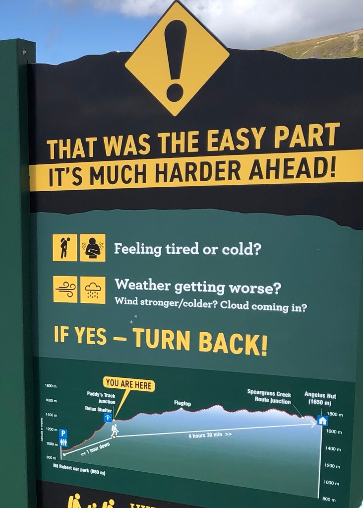
This sign greeted trekkers on the way up along Roberts Ridge heading to the Angelus hut. It shows what we did from right to left.

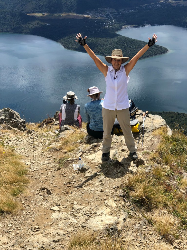
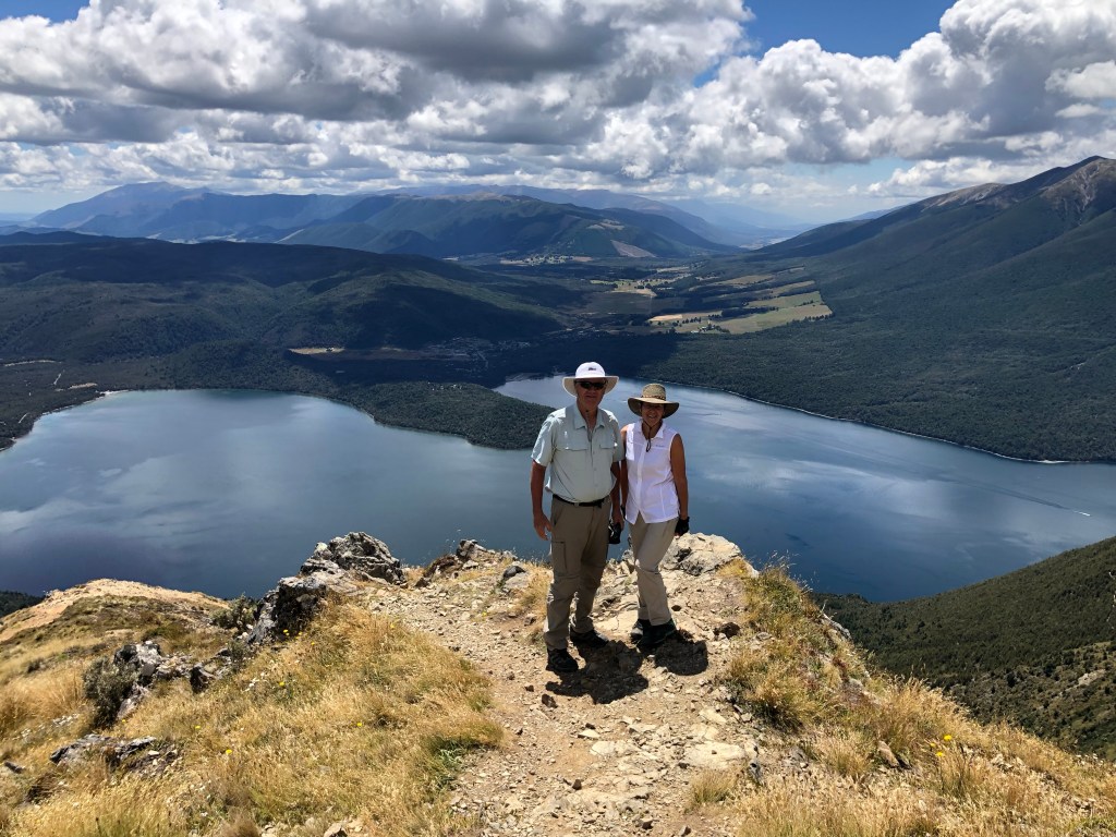
Finally we stopped for our sandwich and a mini celebration as we found a picturesque ridge overlooking Rototi Lake. We still had an hour to go but the hard work was done.

The final stretch was a series of switchbacks and finished, fittingly, in a beech forest.

And so it ended. A thousand thoughts, a thousand memories. A short bus ride to Kerr Bay where we jumped in the freezing lake to rinse the salt off and reflect. The other trekkers, all vastly more experienced, agreed this had tested their limits like nothing else had. The sense of satisfaction was immense.

We finished the day by driving through the Wairau valley, home to many major NZ wineries, including Yealands, Matua, Kim Crawford and Misty Cove. Mile after mile of vines in perfect rows. Literally thousands of acres of greenery that seemed so at odds with the brown and barren hills on either side of the valley. Sadly, no time to stop and taste. In Kaikoura we raced (a very relative term) to have showers with water just short of boiling and after a great group dinner simply collapsed in real beds with real pillows etc. Luxury.

Tomorrow, after a short “shake it off 5 km walk” along the ocean, it will be back on the bus and off to the Christchurch airport and for us, another week of adventures on the north island based in Auckland. Stay tuned.

Friday, January 20/23 – “The Big Hike” Day 2

After a somewhat restless night we were up early for day 2. Food had been consumed and the tents left behind so, in theory, our packs would be slightly lighter. They certainly didn’t feel any lighter. Today we are climbing to the Angelus hut. Emphasis on the word climbing. The hut sits at 1,650m which means just over 1,000m (3,281 ft) up from the Lakehead hut.

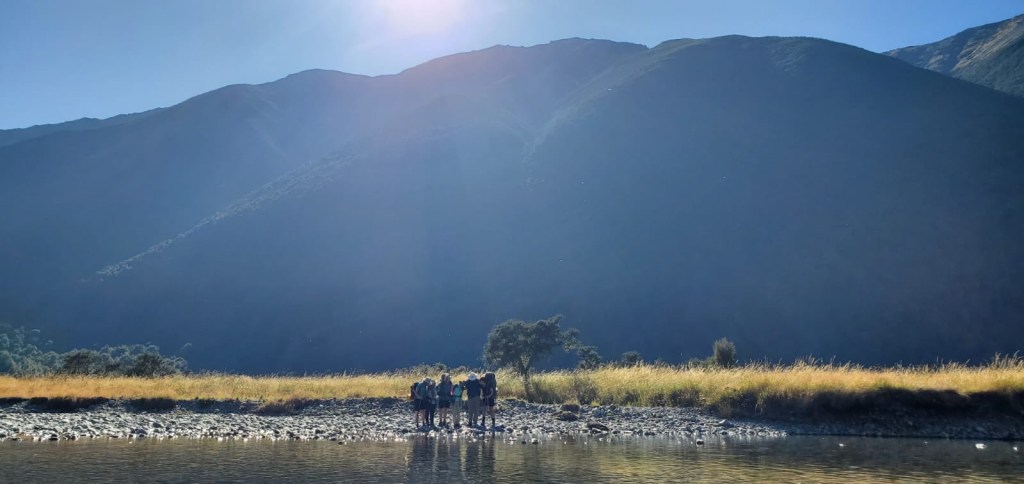
The trek started alongside the river on flat ground. We simply strode through two 15’ wide streams that were a foot deep. Wet boots and socks be damned. The grass was so tall it sometimes made following the path a challenge.

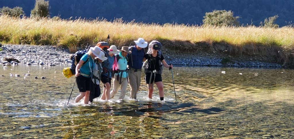
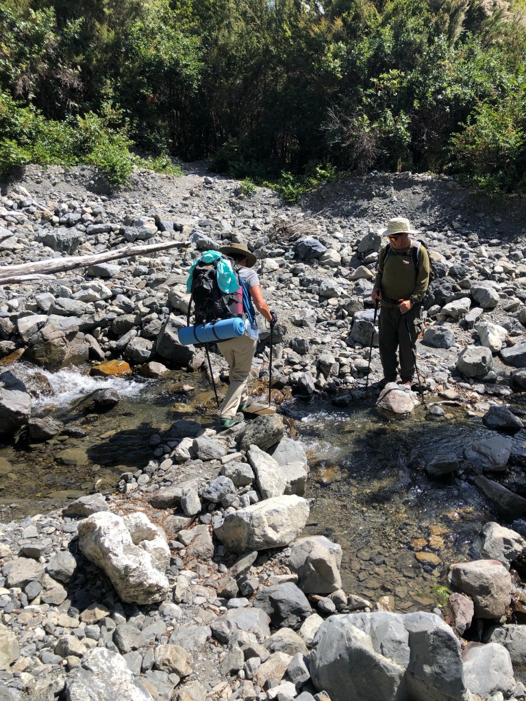
Suddenly we were faced with having to cross a river. This necessitated learning how to safely link with fellow hikers in case of a tumble. Although a very important lesson and one taken with solemn respect, we did look a bit goofy making the crossing.

Then we turned up into the mountain.

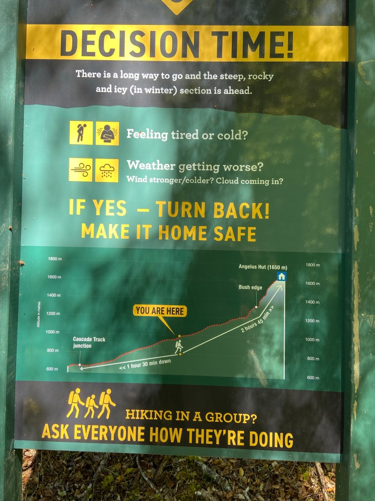
We should have known what was ahead as the sign left little to the imagination. This was after two plus hours with wet boots and those unrelentingly heavy packs. The times noted were probably achieved by some Olympic level NZ professional trekker. They were just a dream to us.

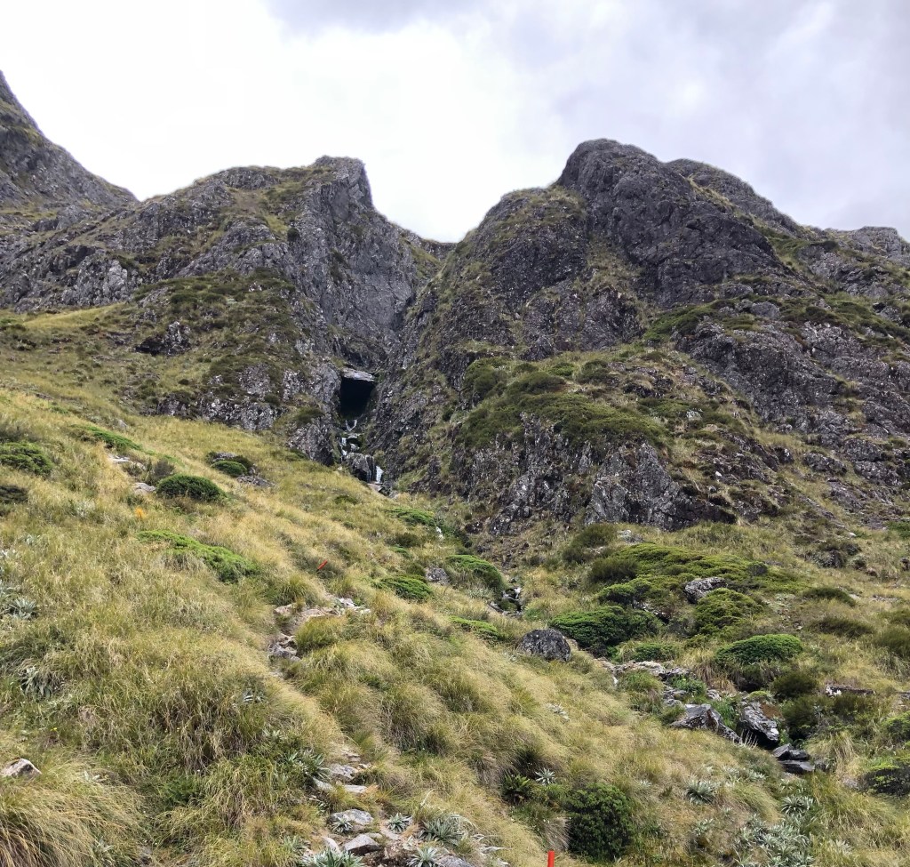
Then we really turned up the mountain.

Then we really, really turned up the mountain.

Then we real….. well, you get the idea.

It’s difficult to convey just how challenging, both physically and mentally the trek was. Every step required focus as where to place your feet. Every loose rock seemed to rattle every bone in your body. Thirst was ever present. Something in your mind wants you to just stop and rest for an hour but you know you can’t. It became a battle of wills against the mountain with the knowledge that the hut was just over the next ridge.

Then suddenly it was over. The small lake beside the hut came into view. In fact, we climbed slightly down into a dormant volcano. Spartan accommodations looked like the Four Seasons. Our guides proved to be magicians again and fed us like royalty. Utter exhaustion was truly put to the test when Mo and Mark were assigned upper bunks. Those may have been the toughest three steps up, ever.

Tomorrow has us hiking up to hike down including a number of hours on rock falls and a narrow ridge line. Should be fun.

Thursday, January 19/23 – “The Big Hike” Day 1

The fact we did the tour clockwise meant we faced the three day hut to hut mountain hike near the end of our journey. All the day hikes, aches and pains, relearning to use poles semi efficiently and new found NZ knowledge would, in theory, be valuable information.

The day began by leaving the west coast and heading inland, back into the mountains and Nelson national park.

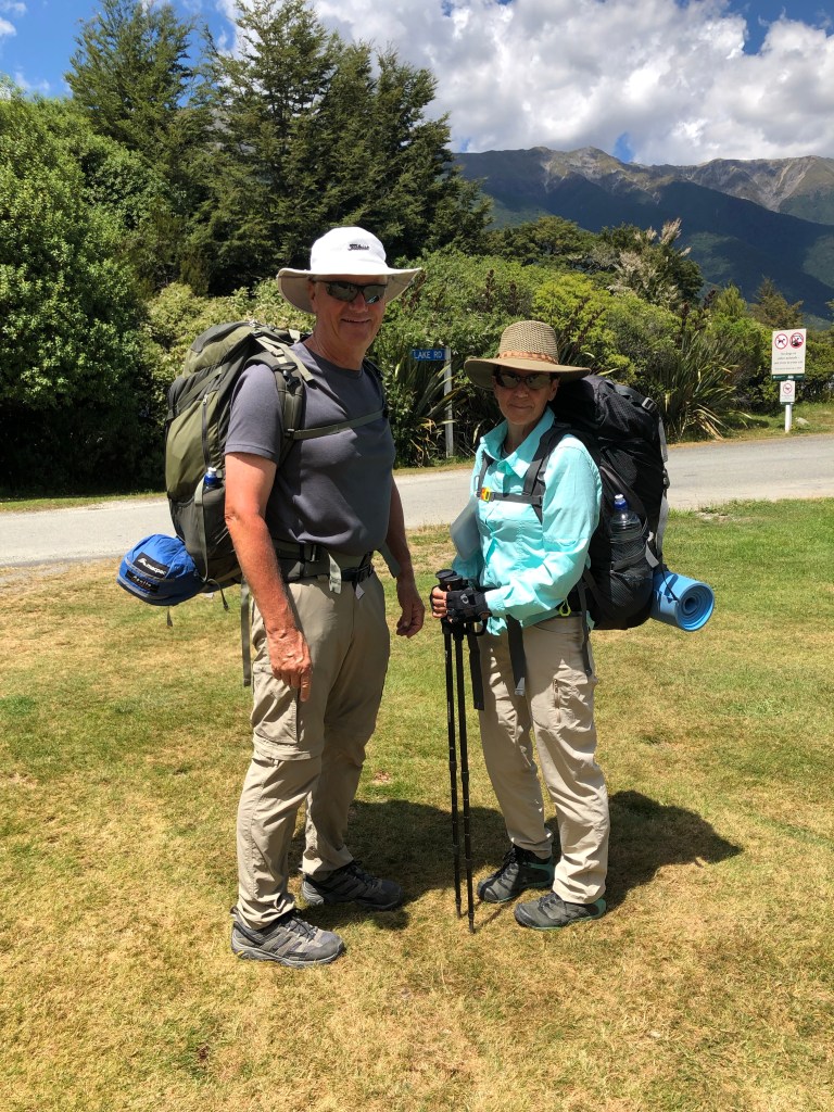
There we were assigned bedding, dry sacs, a portion of the group’s food, cup/bowel, utensils, etc and in Mark’s case, a two person tent in addition to our own three days of clothing, rain gear, cold weather attire, lots of water and so on. All told we were now expected to carry about 20 kg (44 lbs) in very large backpacks.

This is getting waaaay too serious

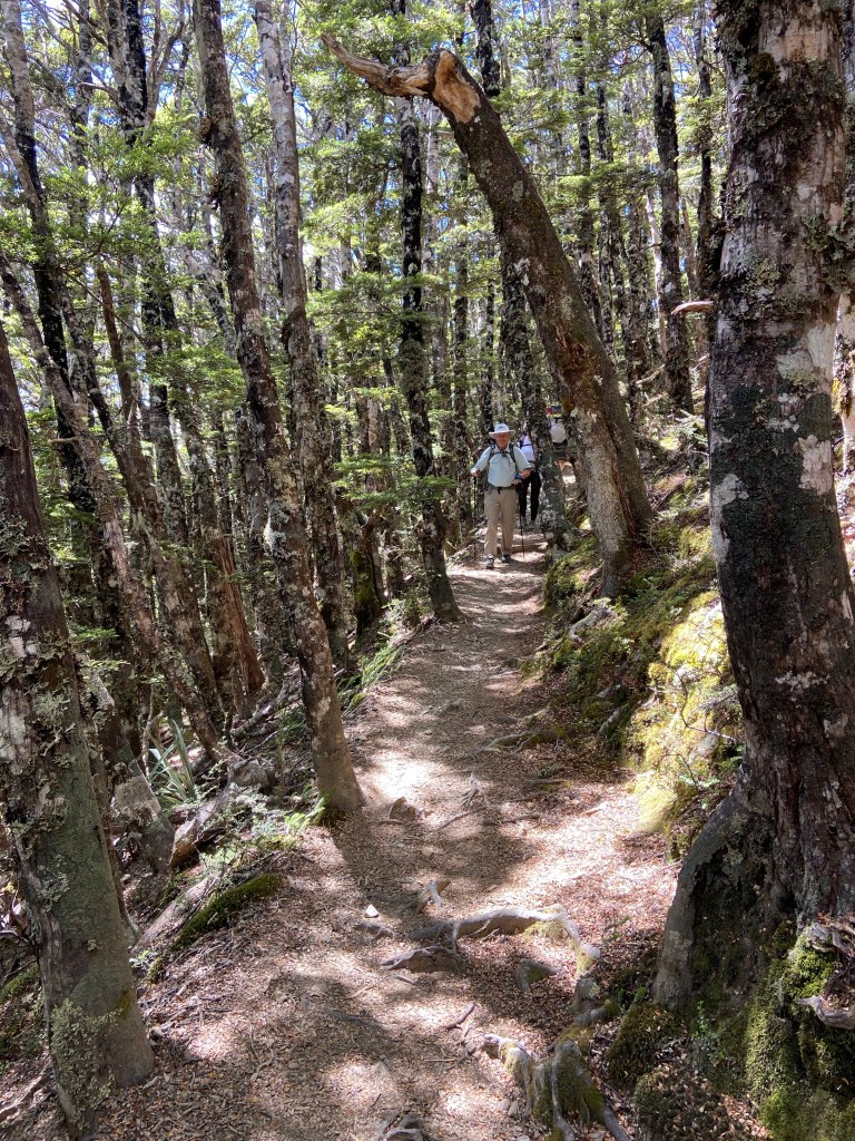
The hike was divided into three days with two nights accommodation in hikers huts (more on that later). Day one began at Kerr Bay and travelled along the west (right) side of lake Rotoiti on the Lakehead Track to the Lakehead hut. A 4 – 5 hour warmup, if you will, of just 650m (2,150 feet) elevation change through the forest. Warmup should have been a warning sign.

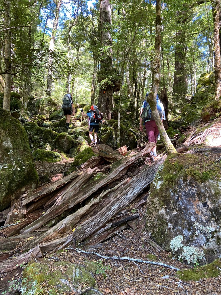
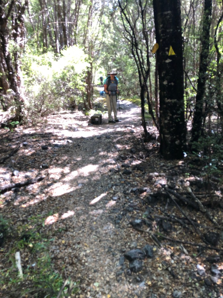
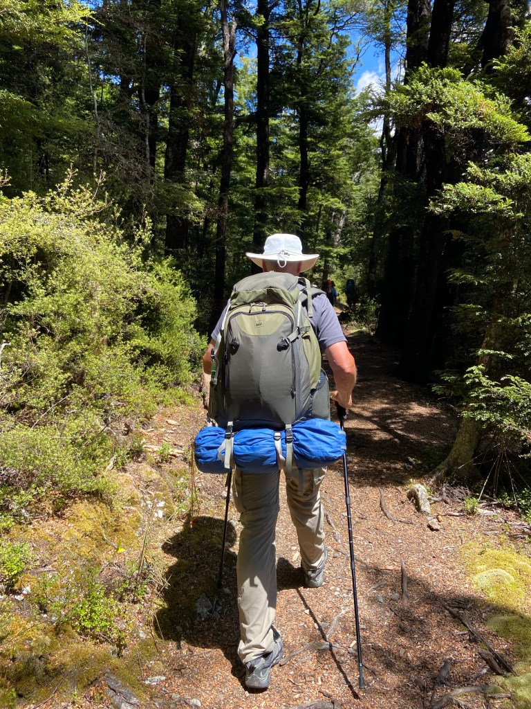
The track was tricky as it combined roots, rocks, mud, running water and forest undergrowth, sometimes all in the same area. Adapting to carrying the pack was hard enough without worrying about stumbling in the deep shadows or crossing small creeks.

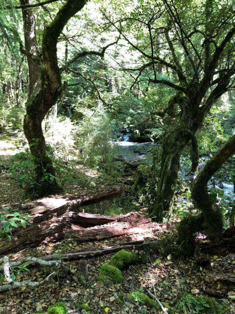
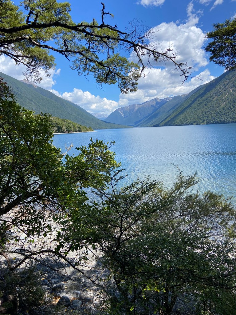
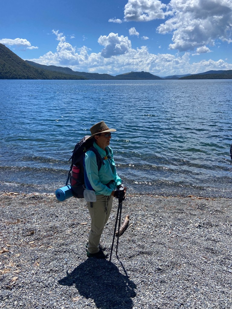
At times the path was hundreds of feet above the lake in the forest and at others, we walked on the beach.

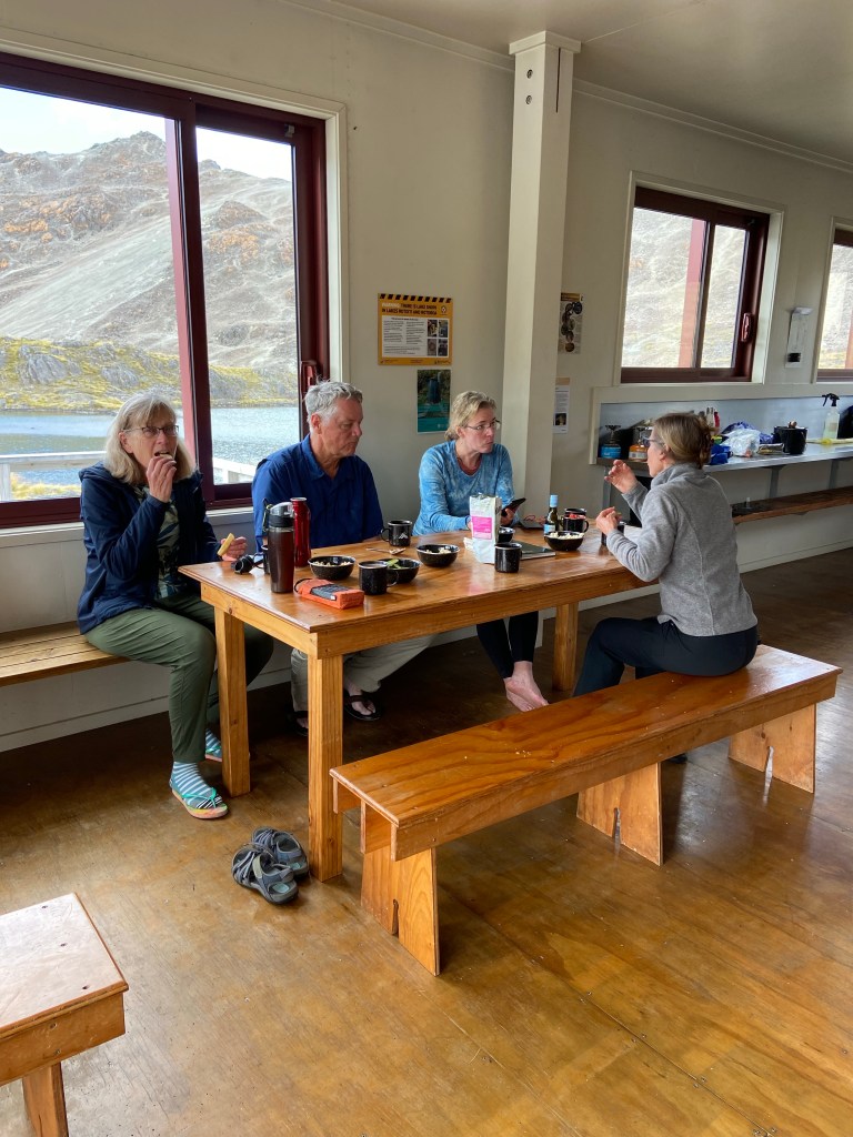
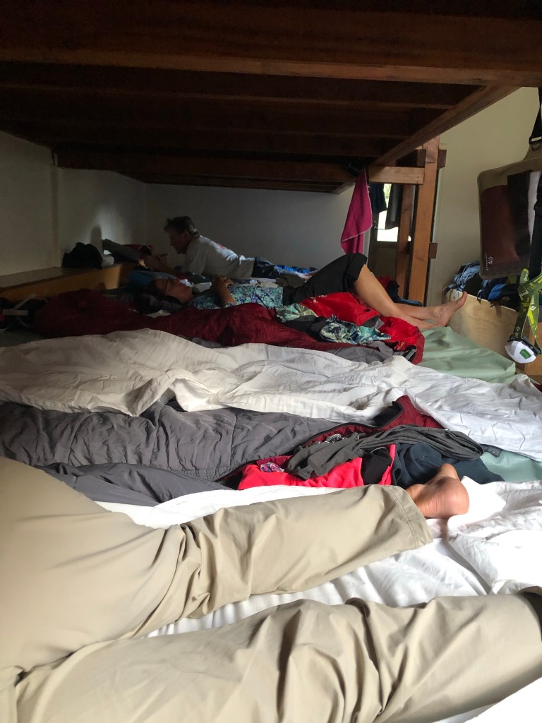
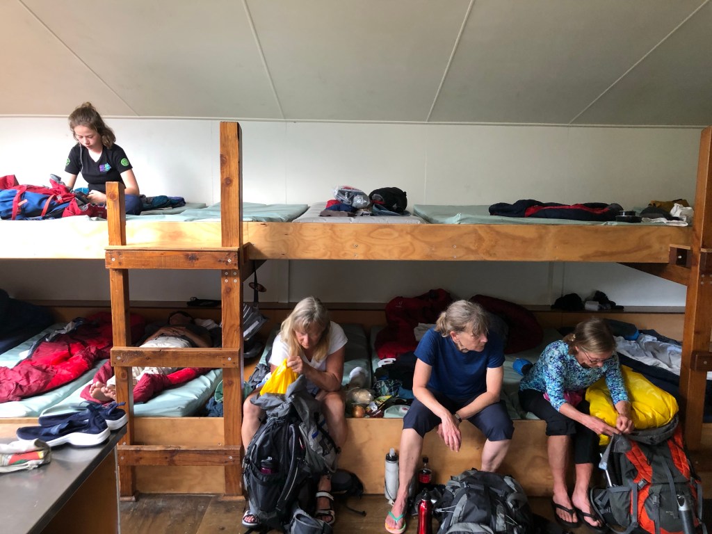
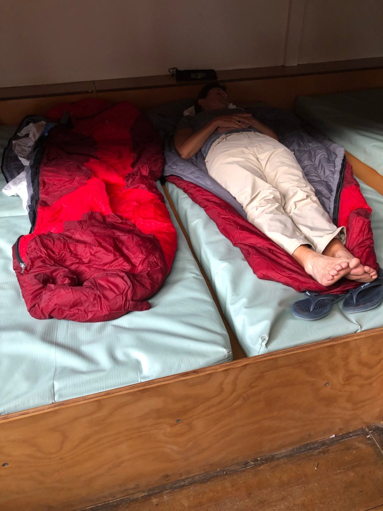
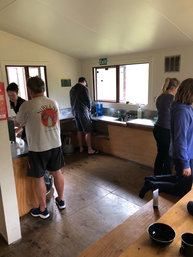
Finally we arrive at our accommodation. Hikers huts in NZ number in the thousands and are extremely popular so space can be hard to come by. We carried a few tents to the first site because we couldn’t get confirmed space in the hut. Spartan would be an apt description. Thin plastic mattresses shoved side by side on communal bunk beds for sleeping and a large open room for cooking/eating. Huge plaudits to our guides, Nic and Brogan who, despite the circumstances, managed to create an incredible meal with the aid of a propane cooker that had been stored at the hut.

Despite the cacophony of noises in the night, a veritable chorus in fact, we did manage to sleep given how tired we were – from the warmup! Tomorrow is the big climb as we turn east into the real mountains.

Wednesday, January 18/23 – West Coast Highway (& Hike)

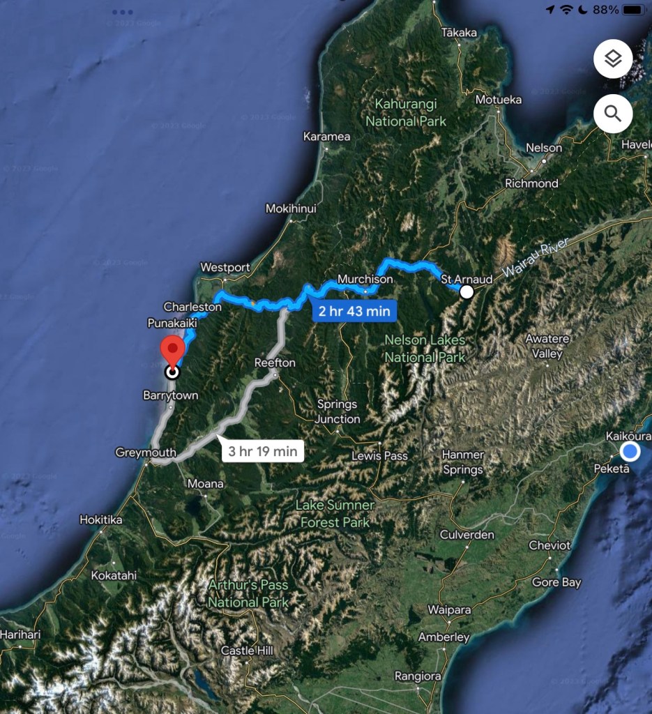
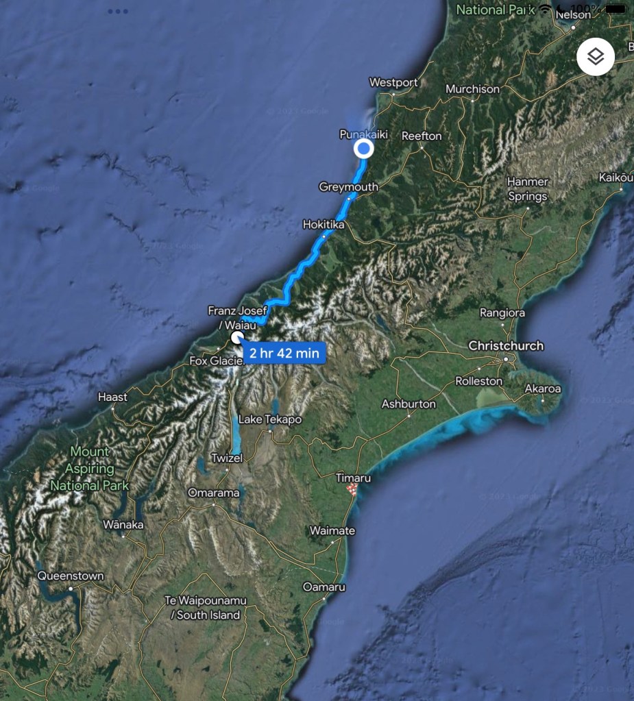
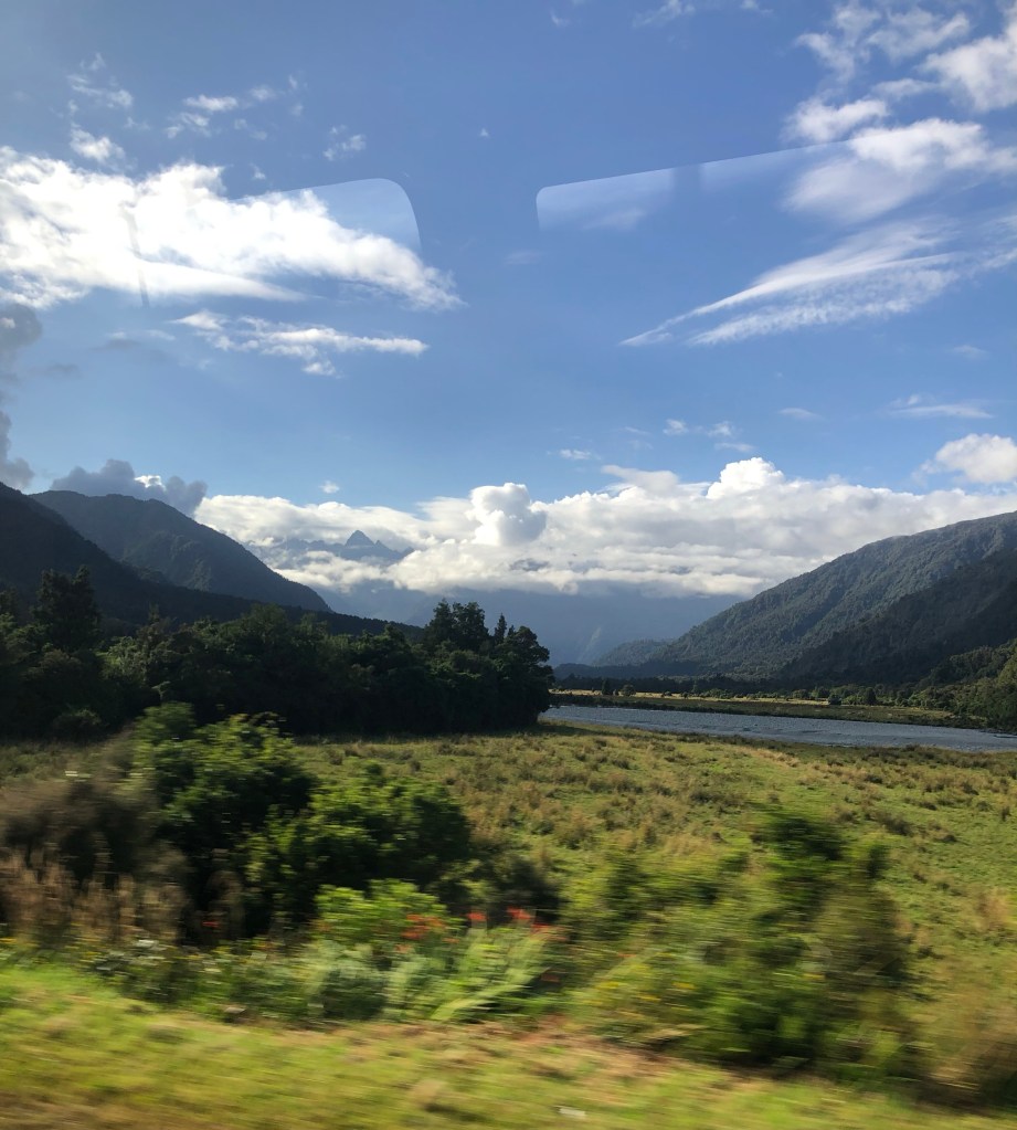
We drove north from Franz Joseph along the west coast highway towards our goal of Punakaiki.

Early on there were a number of switchbacks which required low gear climbs up the mountains when there was insufficient land near the sea. On these upper plains we worried our perfect record of hot sunny days may be ending as the mountains were shrouded in clouds.

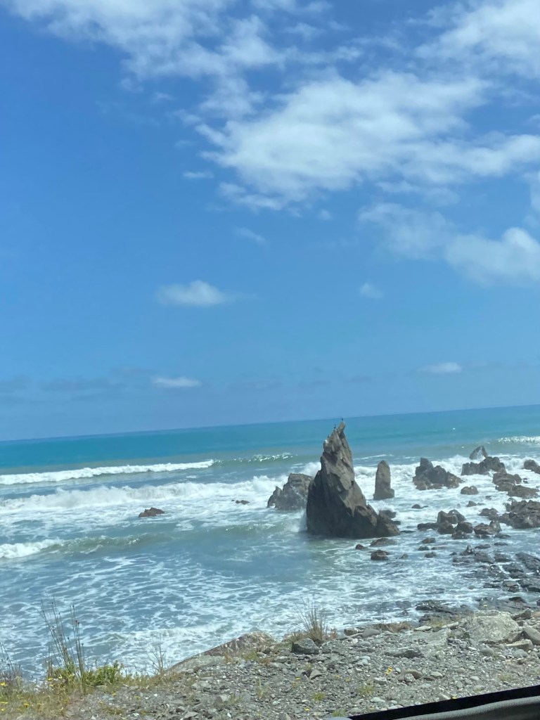
Then we swung back down to where the highway ran along the sea for mile after mile. It was spellbinding watching the waves crash ashore. There were stretches that rival anything, anywhere including Big Sur.

We stopped in Hotikita for a leisurely walk around town and a picnic on the beach. This town is famous for its green gem jewelry and possum/merino wool products. We did end up with a couple of souvenirs. Back on the bus and off to Punakaiki.

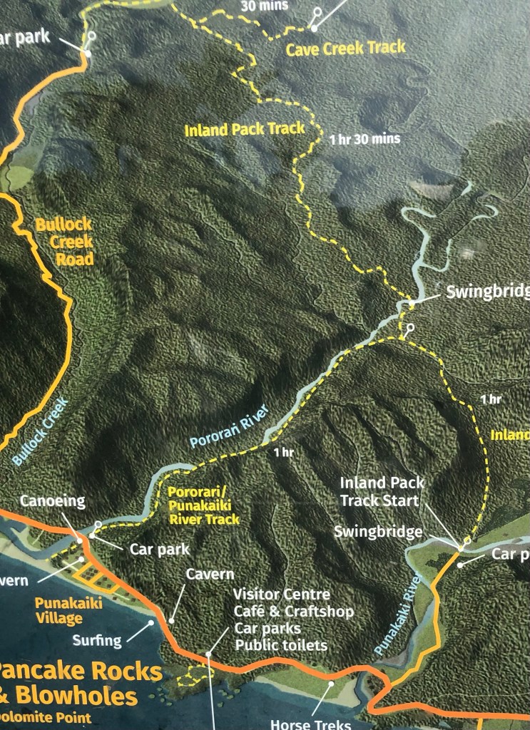
Our hike of the day was described as an easy walk, or as we learned, a fair tramp. It went up and over the hills above Punakaiki per the yellow line below.

Punakaiki River Track

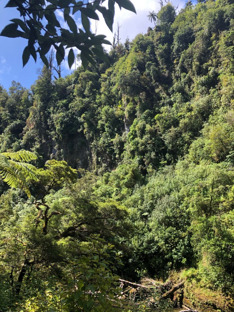
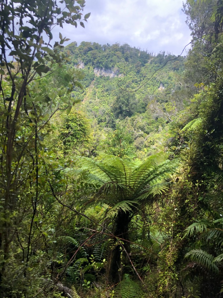
It was, in effect, a nature walk as many tree and bird species were pointed out and discussed. The tramp was fairly easy, certainly enhanced by the setting.

Our guides decided a quick swim in the quite chilly waters of the Pororari river was just the thing given the sun was again blazing down on us. Mo braved the waters, Mark took pictures.

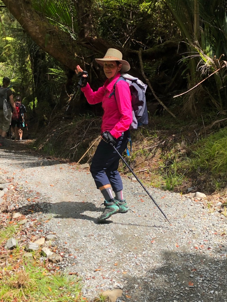
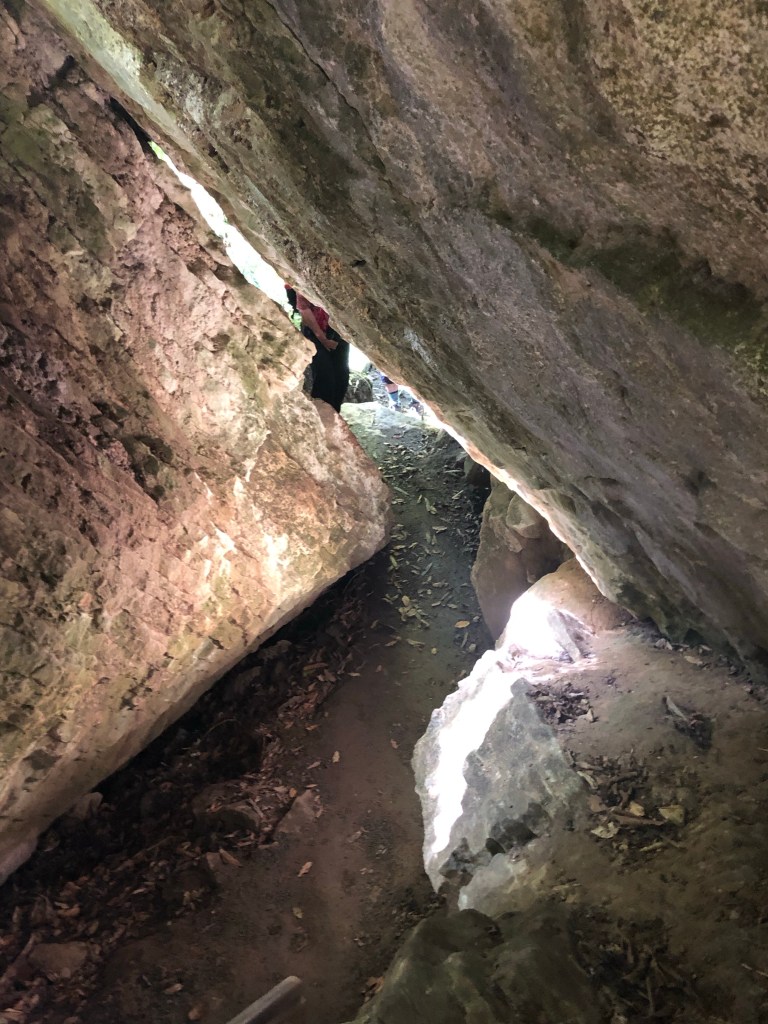
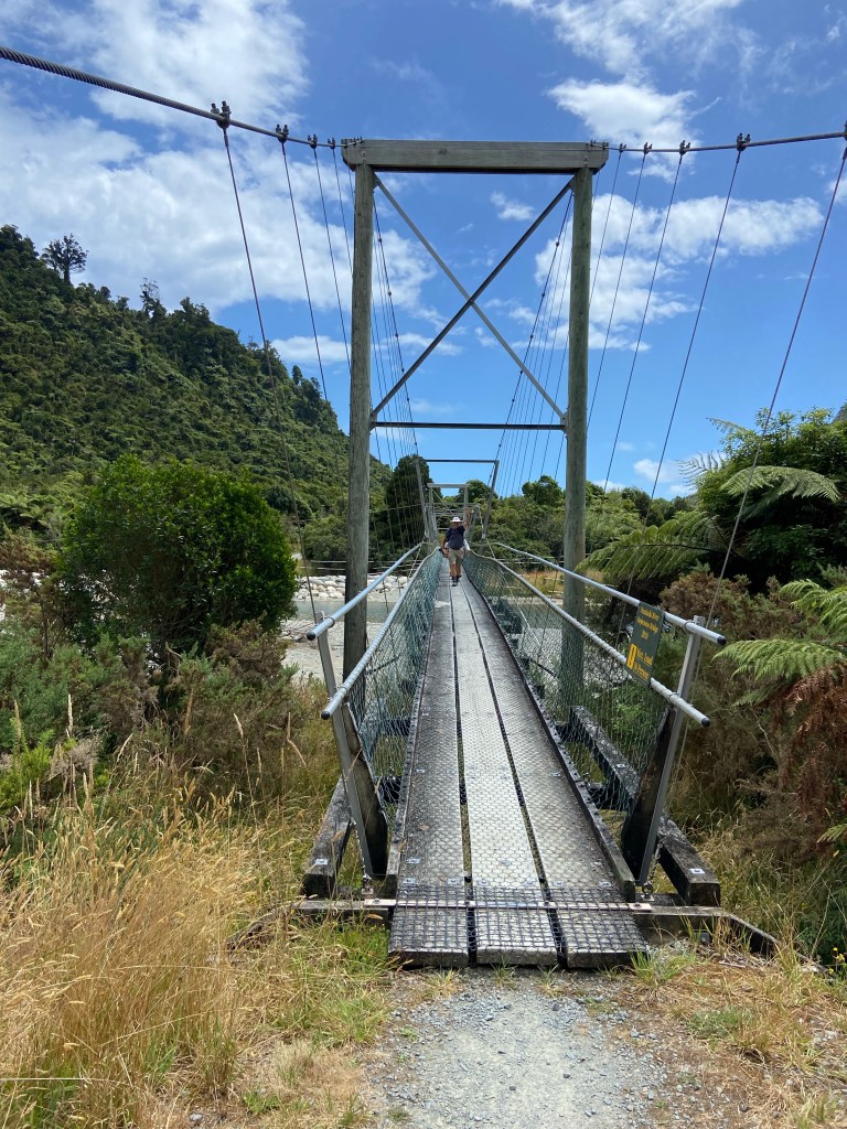
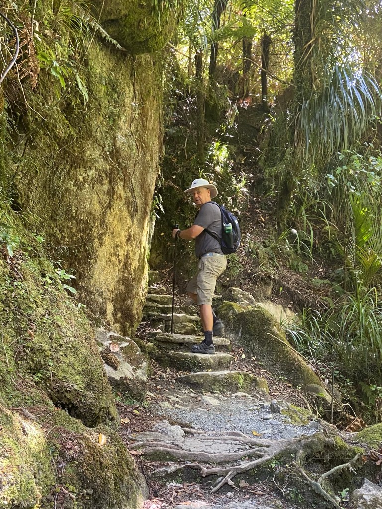
The trail did have some neat features along the way.

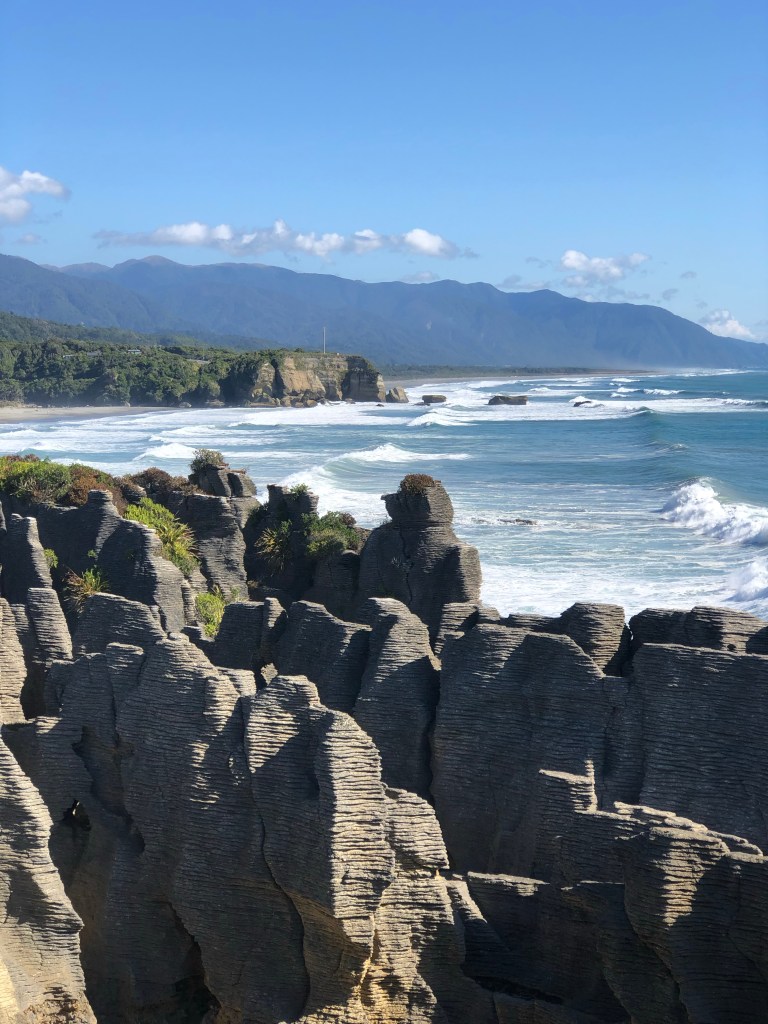
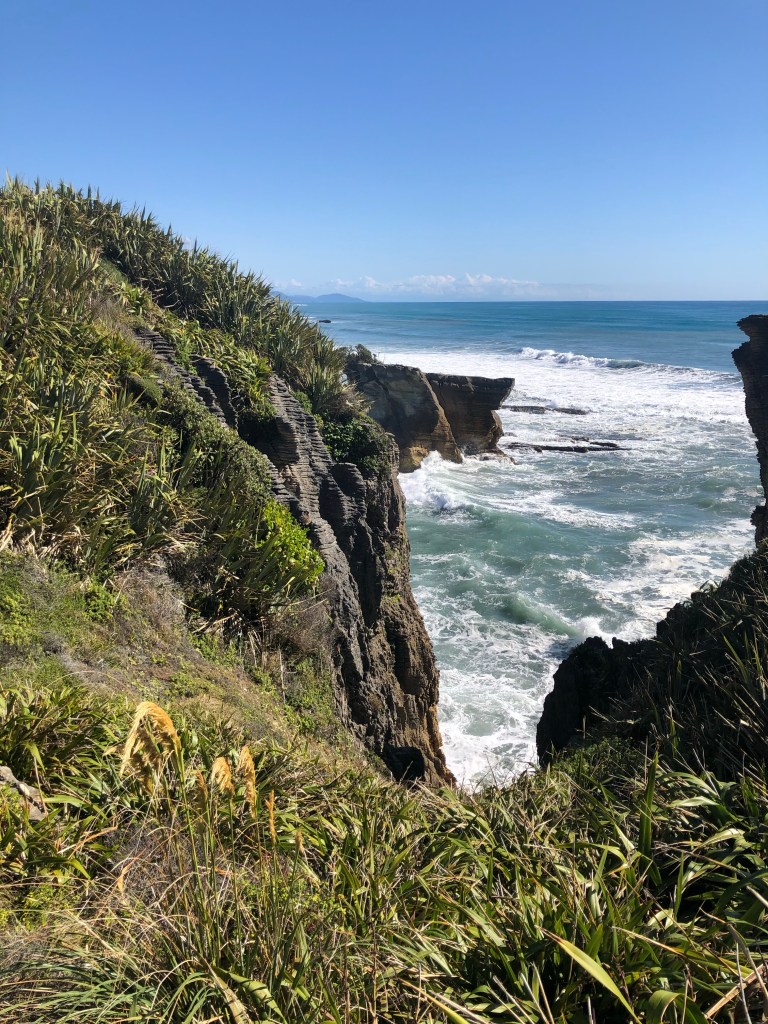
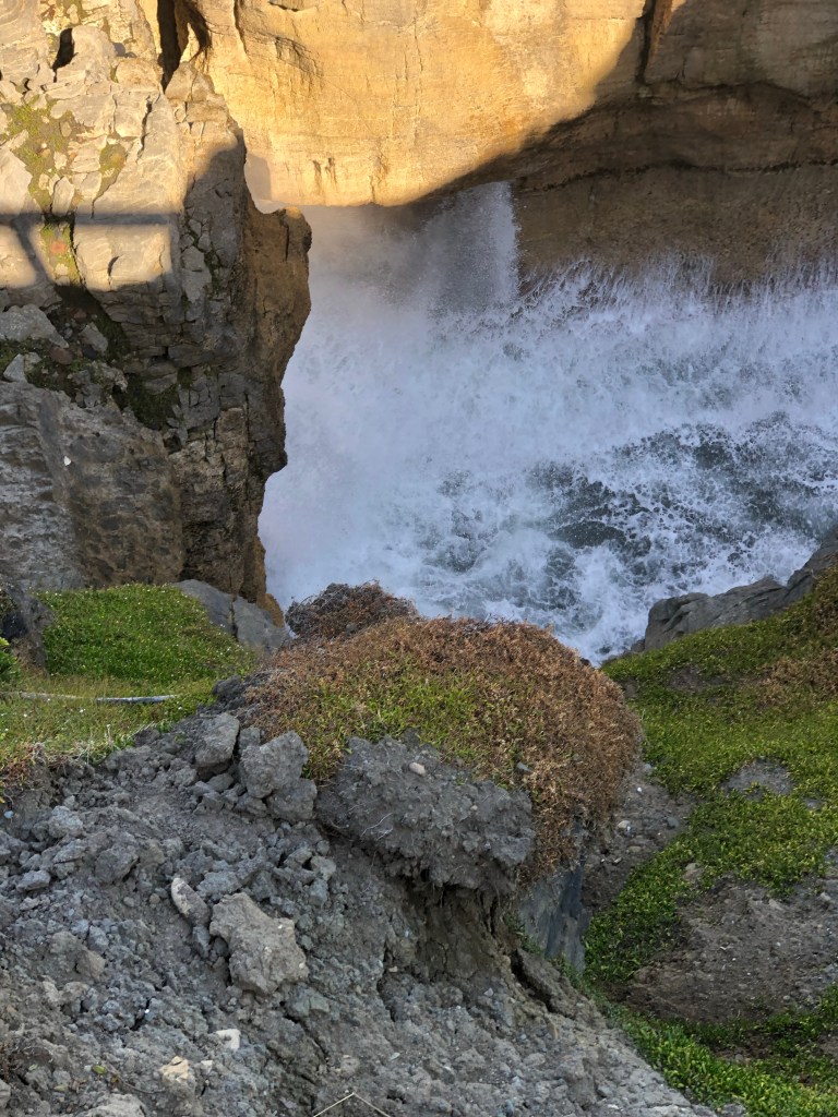
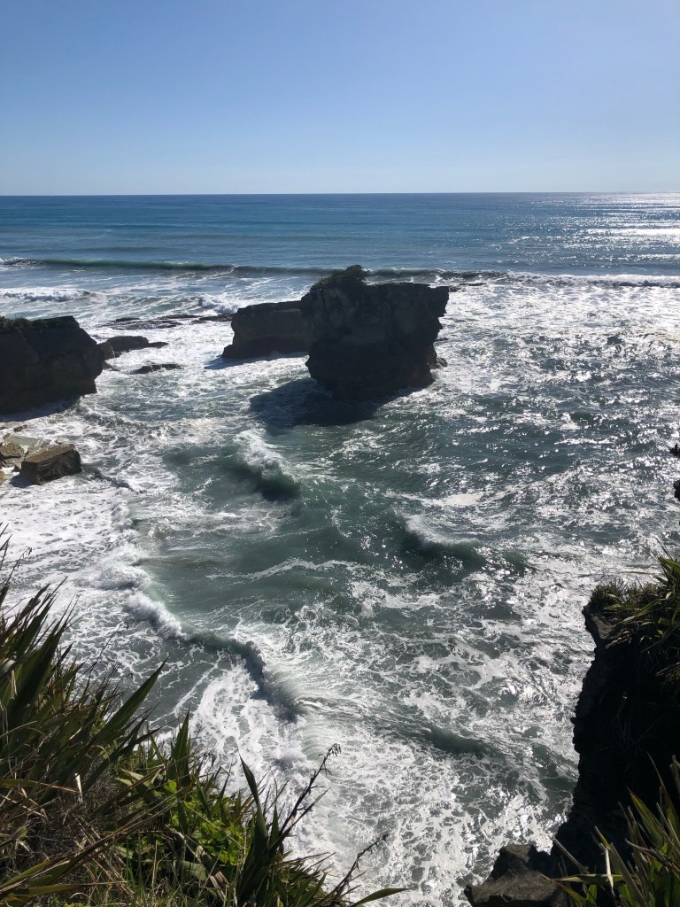
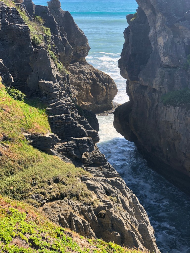
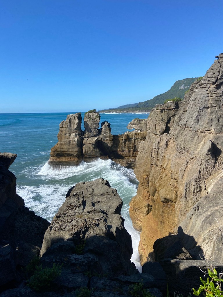
Before checking in to the hotel we visited the primary tourist attraction called the Pancake Rocks. These rock forms are slowly being eroded by the sea but for now, they provide wonderful viewing of the power of the water.

After yet another great dinner we had to start packing our 60L backpacks for the final swan song of the hikes. We’re heading into the mountains for three days and have to carry everything including food, sleeping packs, clothes for all possible weather conditions and a couple of tents in case the hikers huts are oversubscribed. We’ve been given a list and while limited to essentials, the pack still weighs a ton. Memories of Peruvian sherpas come to mind as we will be walking in the mountains for 6-9 hours per day. This may well be the end of us. With no electricity, running water or anything, our communications will go dark until late Saturday, NZ time. Wish us luck.

Tuesday, January 17/23 – Kayaking (& Hiking)

Despite the supreme effort everyone put in yesterday on the mountain we had to answer the bell at 6:30 a.m. to be ready for transport to the site of our kayak adventure. The early start was based on tides and weather.

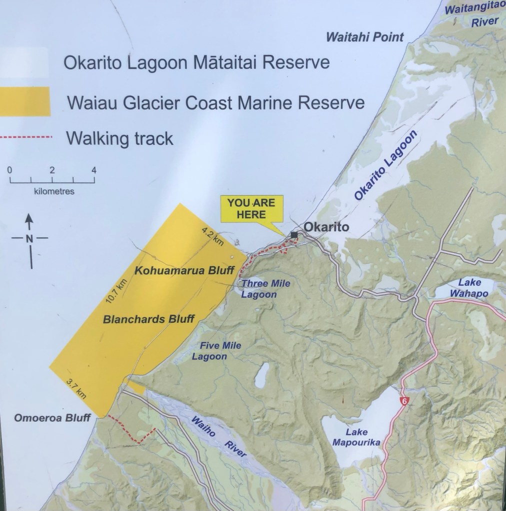
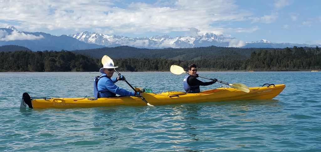
A former Active Adventures guide has a kayak business just outside Franz Joseph that uses the very large Okarito lagoon which is across a narrow sand bar from the sea. A channel provides access to the changing tide so we benefited from catching the rising water.

After a quick on shore lesson it was onto the water.

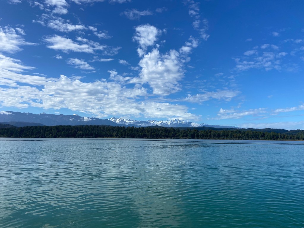
Okarito Lagoon with Southern Alps

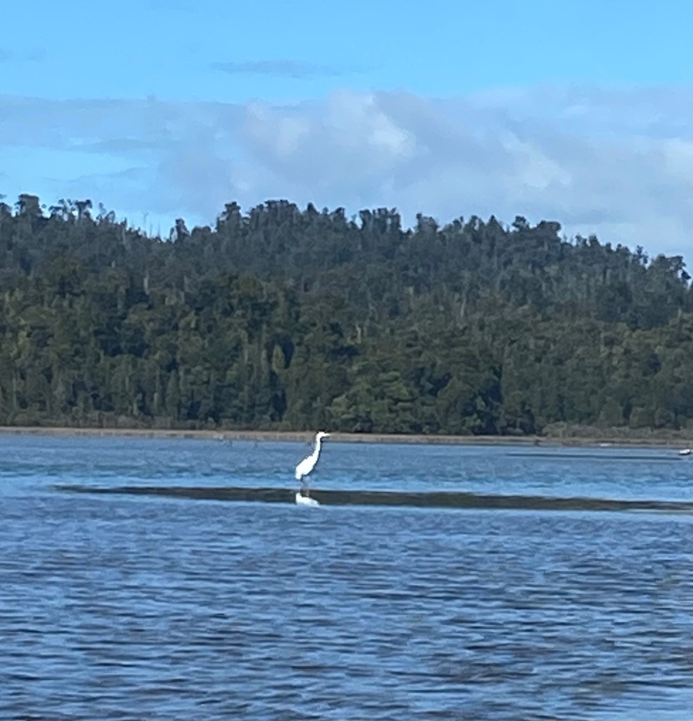
The weather was extraordinary. Virtually no breeze, sunny and warm. Our guide couldn’t believe the conditions we enjoyed. Bird life in the shallow waters included the brown Godwit which is worth mentioning because of its migration route. These small birds fly nonstop from Alaska to NZ over a period of 8 – 10 days, the longest nonstop passage of any bird, anywhere. Herons were beautiful both stationary and in flight.

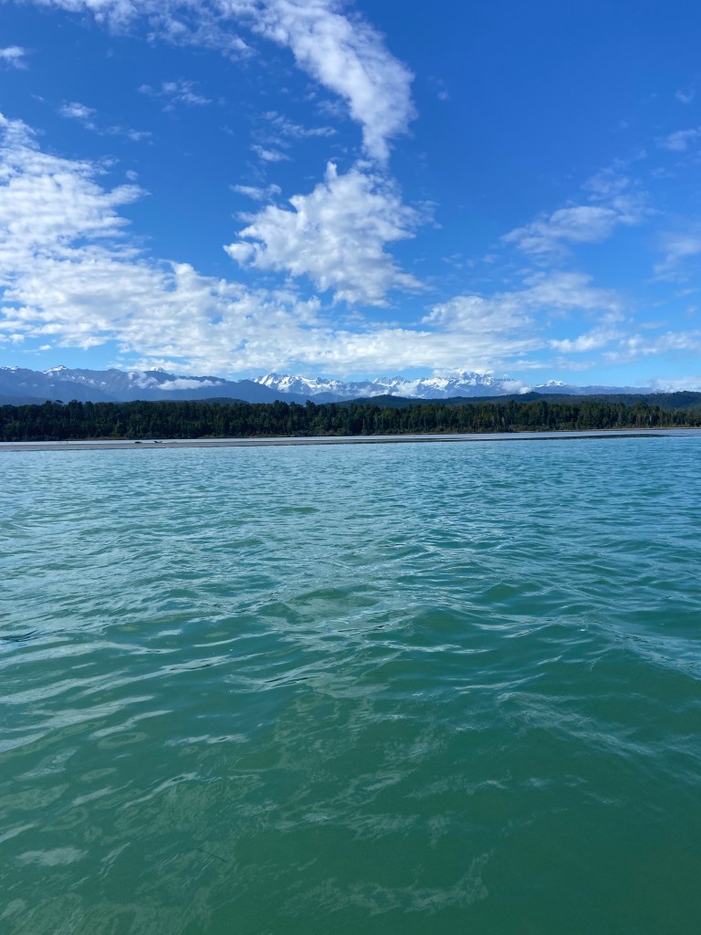
The shallow depth of the crystal clear water meant changing colours which only added to the beauty.

After two hours paddling it was time to head back. Our guide, Baz, was a wealth of knowledge and story telling which added to the outing.

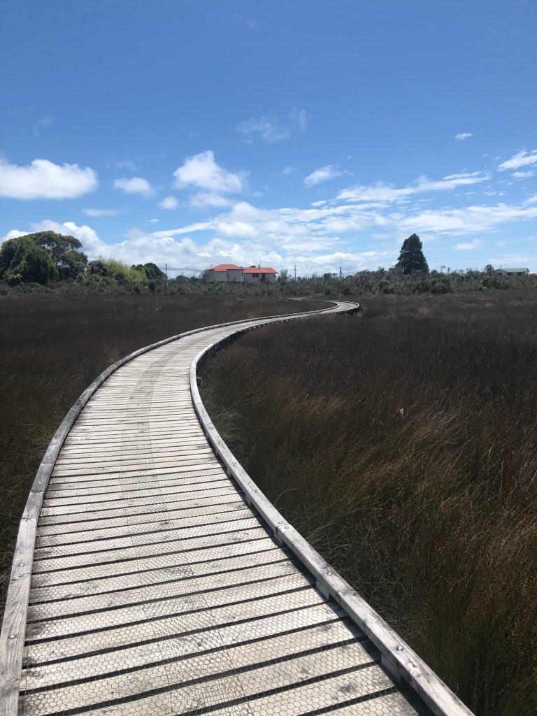
After changing wardrobes it was back onto a nearby hiking trail to climb to a lookout above the lagoon. It started with an extensive footbridge across a marsh before heading up into the forest.

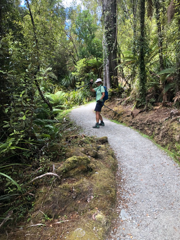
We learned the NZ definition of undulating, when describing a hiking track, is “contains steep sections”. Fortunately this undulating trail was wide and groomed and had plenty of flat sections.

The steepness was offset further by it being a relatively short hike of only a few kilometers. It was, however, hard work as evidenced by our appearance at the top.

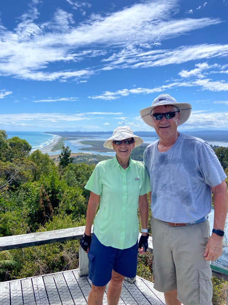
Hot but happy

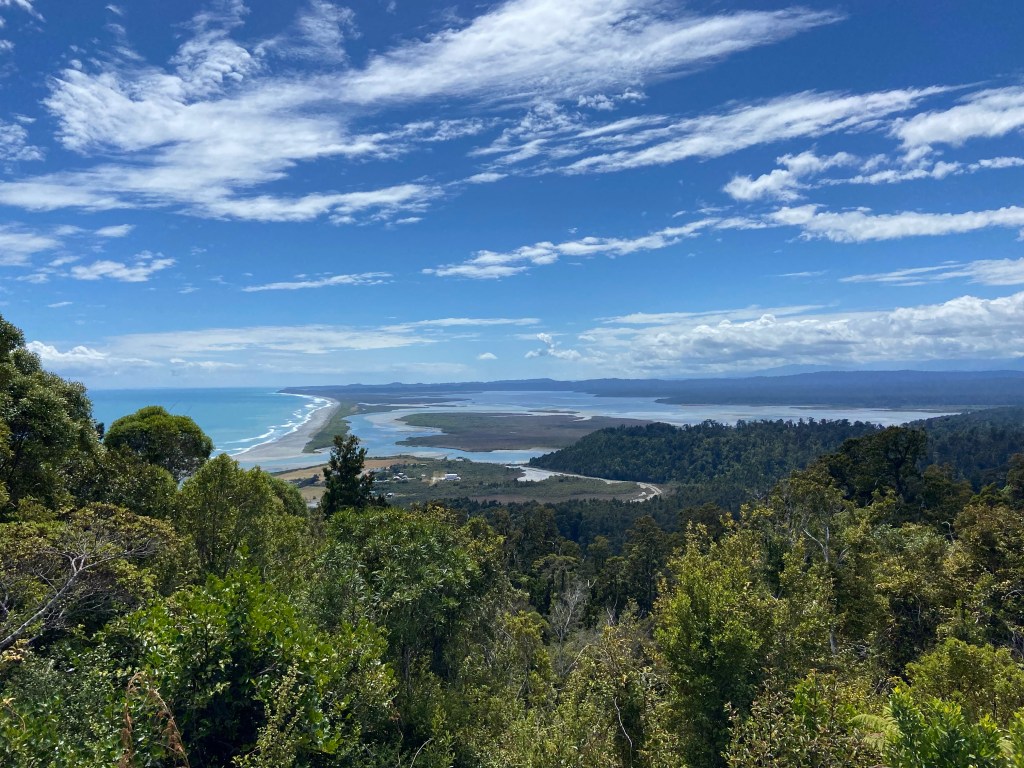
And, per usual, the view looking back down at the lagoon made us forget our discomfort.

Looking down to Okarito Lagoon

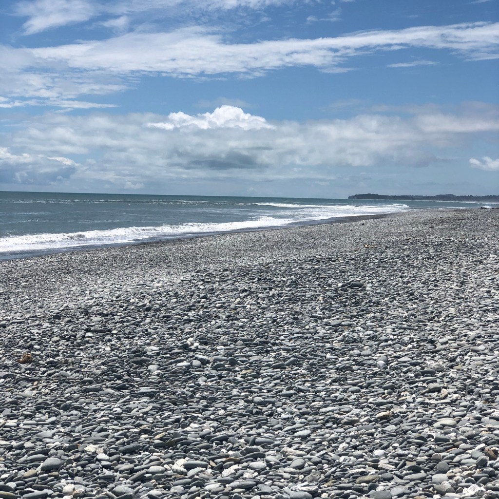
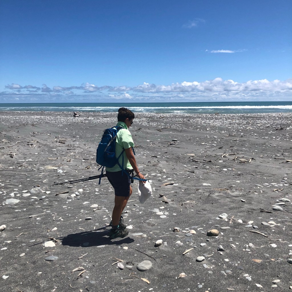
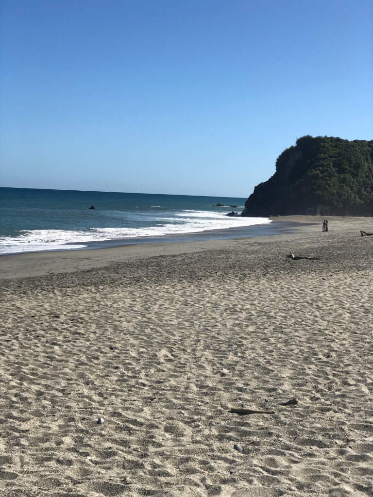
Our route back included swinging out to the sea and enjoying a walk along the sand/rocks. What a beach!

Back to the town of Franz Joseph to our accommodation at the Rainforest Retreat, a unique collection of buildings spread out over a fairly sizable campus. Unfortunately the absolute epicenter of the major tectonic plates intersection is about a block away and we learned the probability of a major quake happening in this area is rather high. Still, given the choice, this is an amazing place to visit.

Monday, January 16/23 – Franz Joseph Glacier

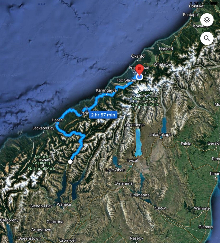
The start of our second week and it begins with a hike up towards the Franz Joseph glacier on the island’s west coast. That meant going up and over the alps through the Haast pass, the most southern and lowest crossing from the east side of the mountains.

Makarora to Franz Joseph

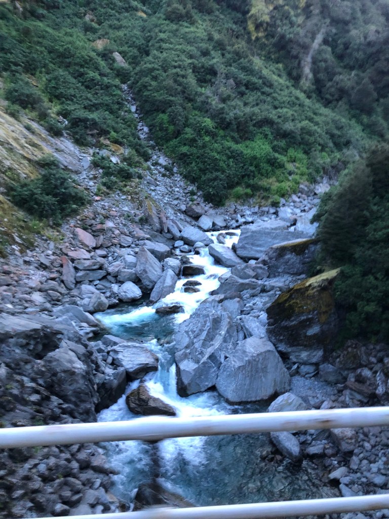
Knock on wood that our string of hot dry days continued which was even more surprising given we were heading into an area that receives unimaginable amounts of rain annually (averages 145” per year versus 33” in Toronto). That’s means lots of rivers running westward. Fun fact: there are 26 single lane bridges between Makarora and Franz Joseph which means a lot of cooperation between drivers traveling in opposite directions.

Crossing one of the 26 bridges .

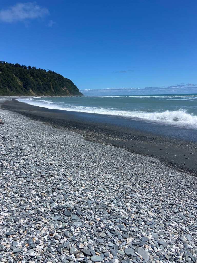
Once we reached the coast we stopped for lunch on the beach to watch the Tasman Sea roll ashore.

Our hike up the south side of the canyon near the glacier promised to be a huge challenge given the terrain, distance and grade. The goal was to get as high as possible up the mountain in 3 hours to maximize the view of the glacier. The track was called the Alex Knob and I’m not sure if that was his name or what hikers thought of him after attempting the hike.

Like many of our outings this one started in a gentle manner on a well groomed track. Little did we know we had a 3.5 km (2.2 mile) walk just to get to the trailhead.

Starting out on the way to the actual trailhead

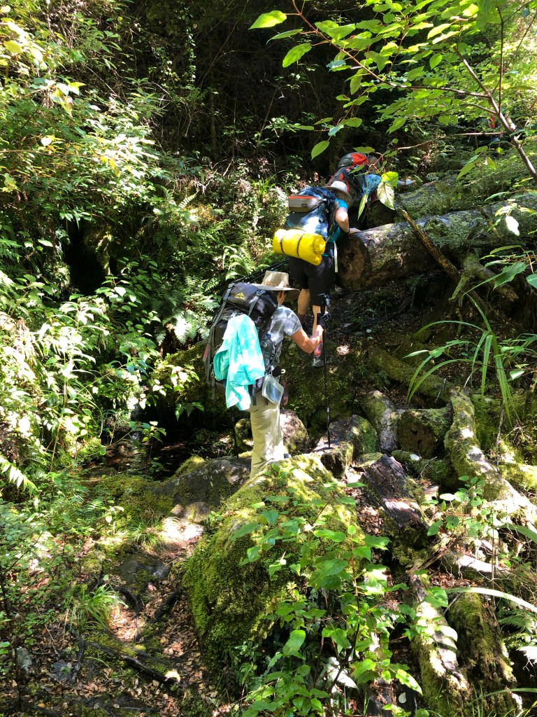
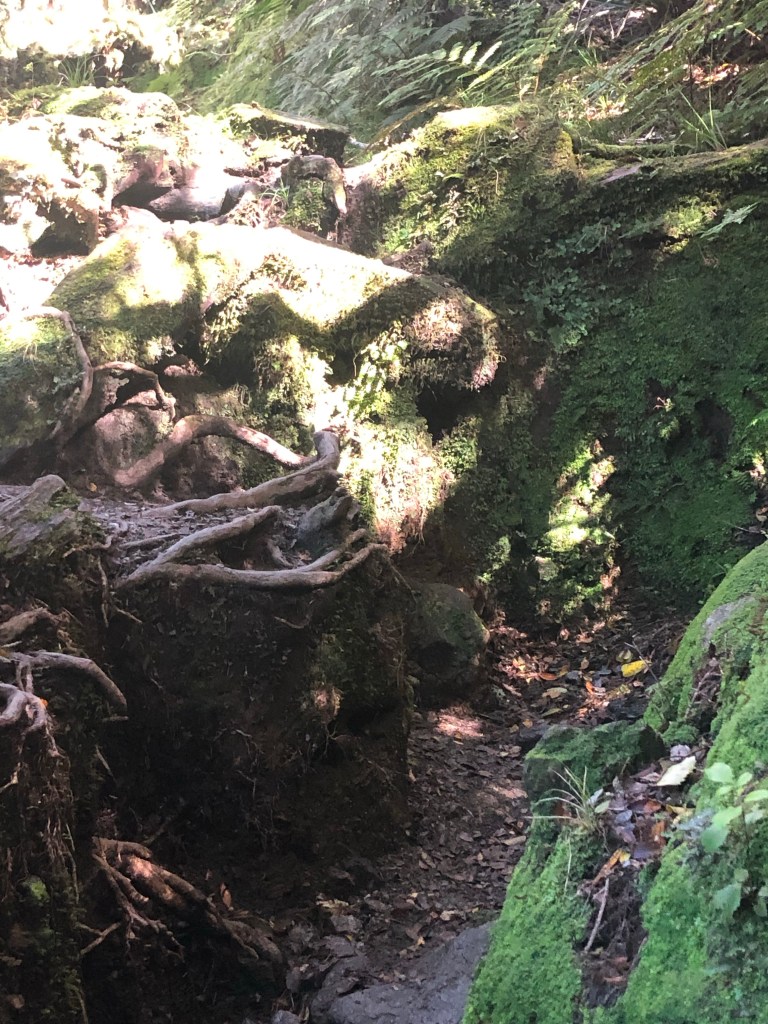
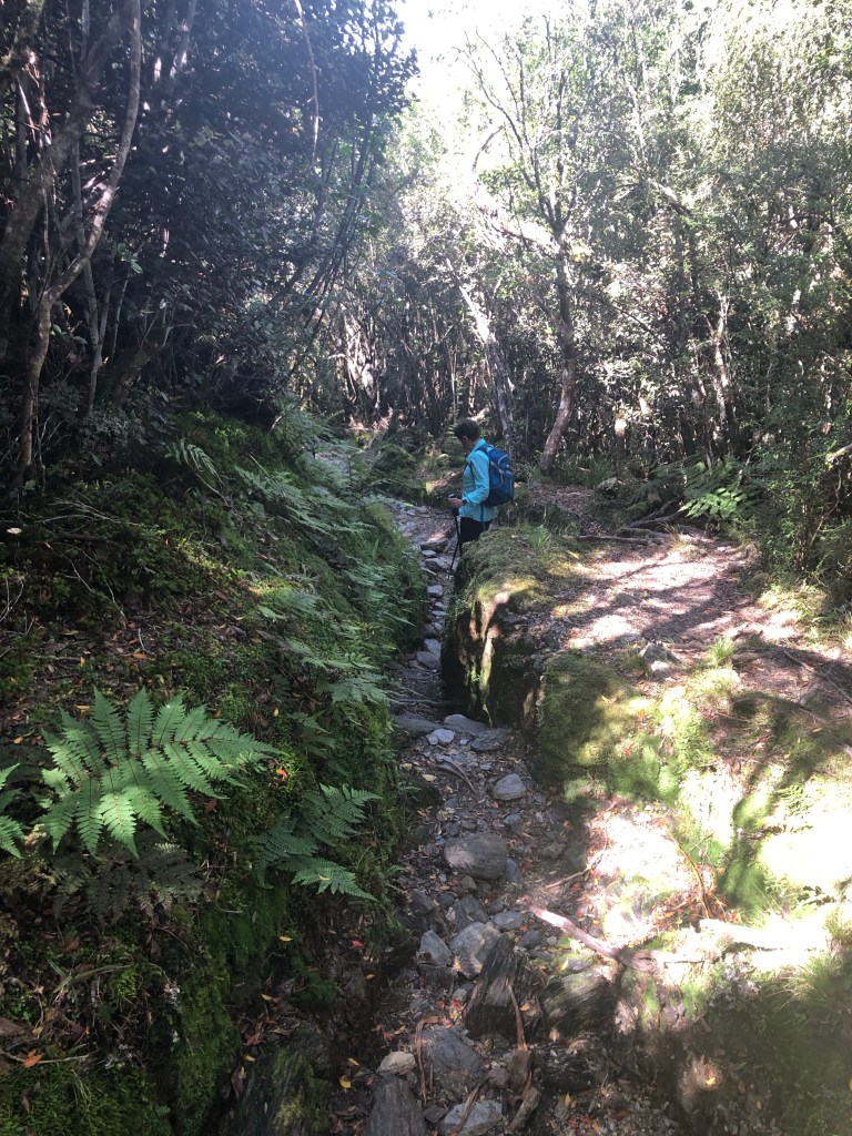
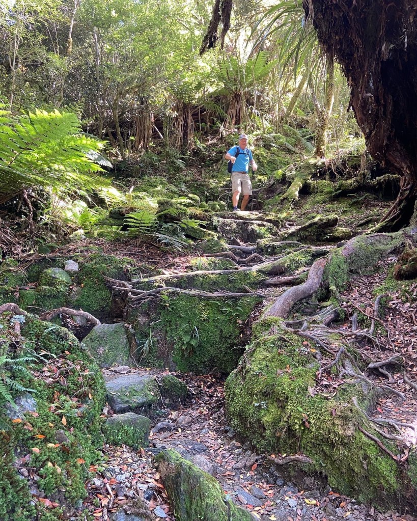
Then things got nasty. There was lots of quirky steep areas, rock to rock strides and balancing on roots.

Upward, ever upward

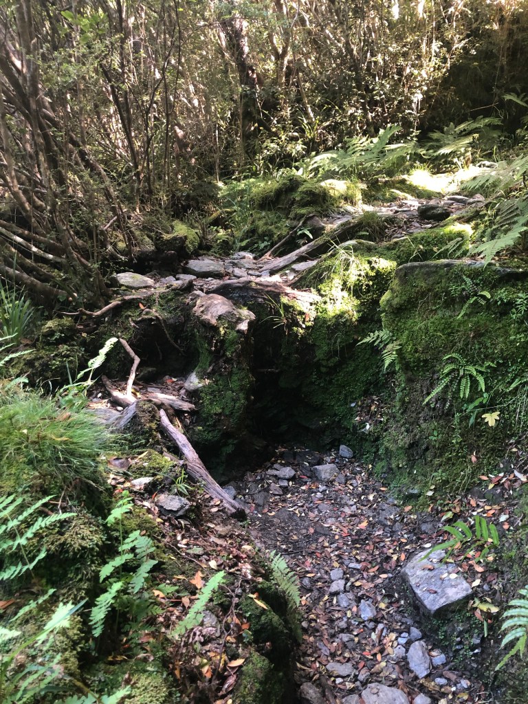
There were sections where you had to use your imagination as the trail abruptly seemed to end with a small wall of rocks and tree roots.

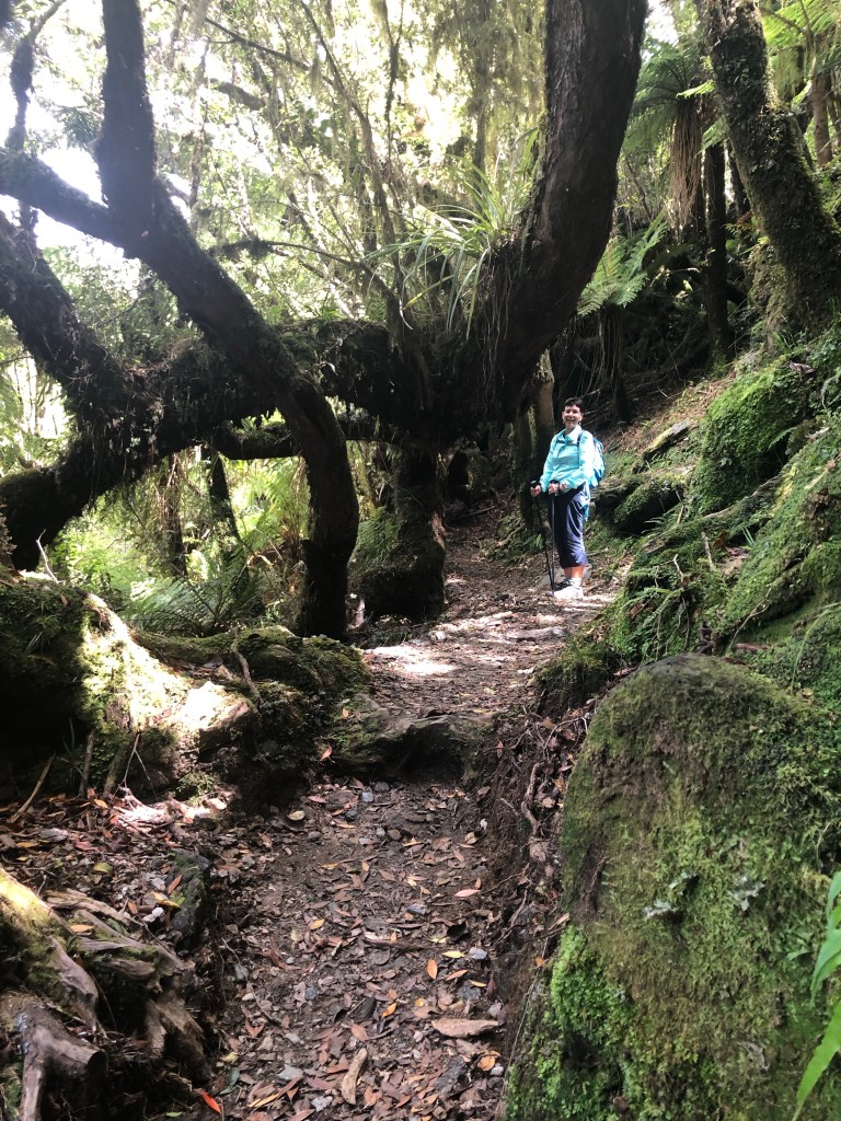
There were some easier spots as well with creative trail making given the massive trees across the track.

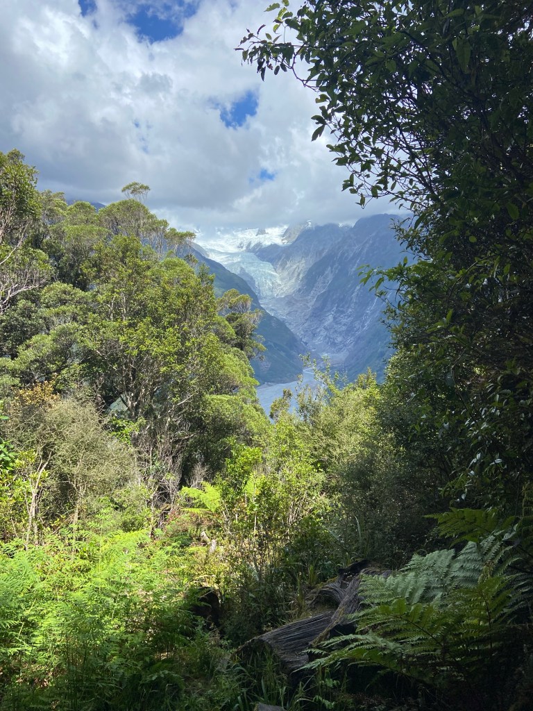
Eventually we were able to glimpse the glacier, which was still many kilometers away up the valley.

Our first view of the glacier

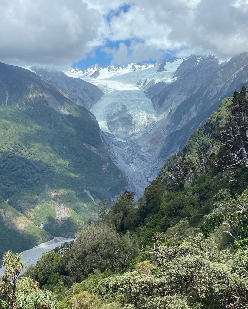
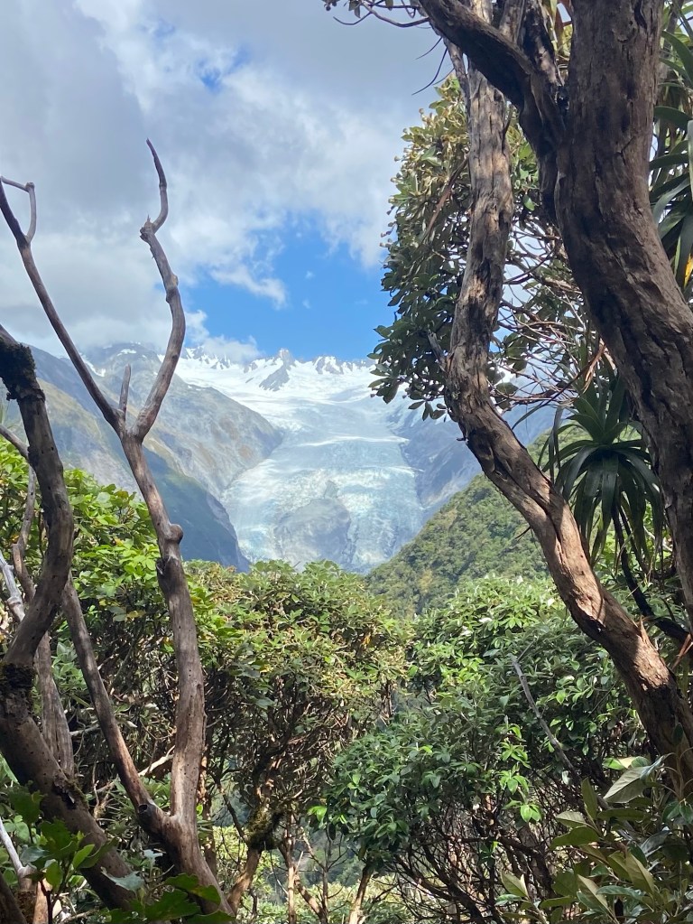
The higher we climbed, the more we could see.

And higher still. We had reached the allotted climbing time so this was where we had to turn back.

Time to reflect and appreciate the wonders of nature and the effort expended to get to this point. It really is magical.

One never hikes alone. There’s this small voice that tags along reminding you that every step up means another step on the descent. And who knew one’s shins had muscles? They joined the knees, quads, calfs chorus in loudly protesting the climb down.

Downward ever downward

We achieved a 6,450 ft elevation change (1/2 up, 1/2 down). The steepness meant a much slower pace so heartbeat rates were a bit lower at 138 albeit for three hours. And despite the lengthy walk back out from the trail head that extended our day in hiking boots to over six hours I’m giving Alex the benefit of the doubt that indeed that was his last name given how fantastic the overall experience was.

Sunday, January 15/23 – Stick & Carrot

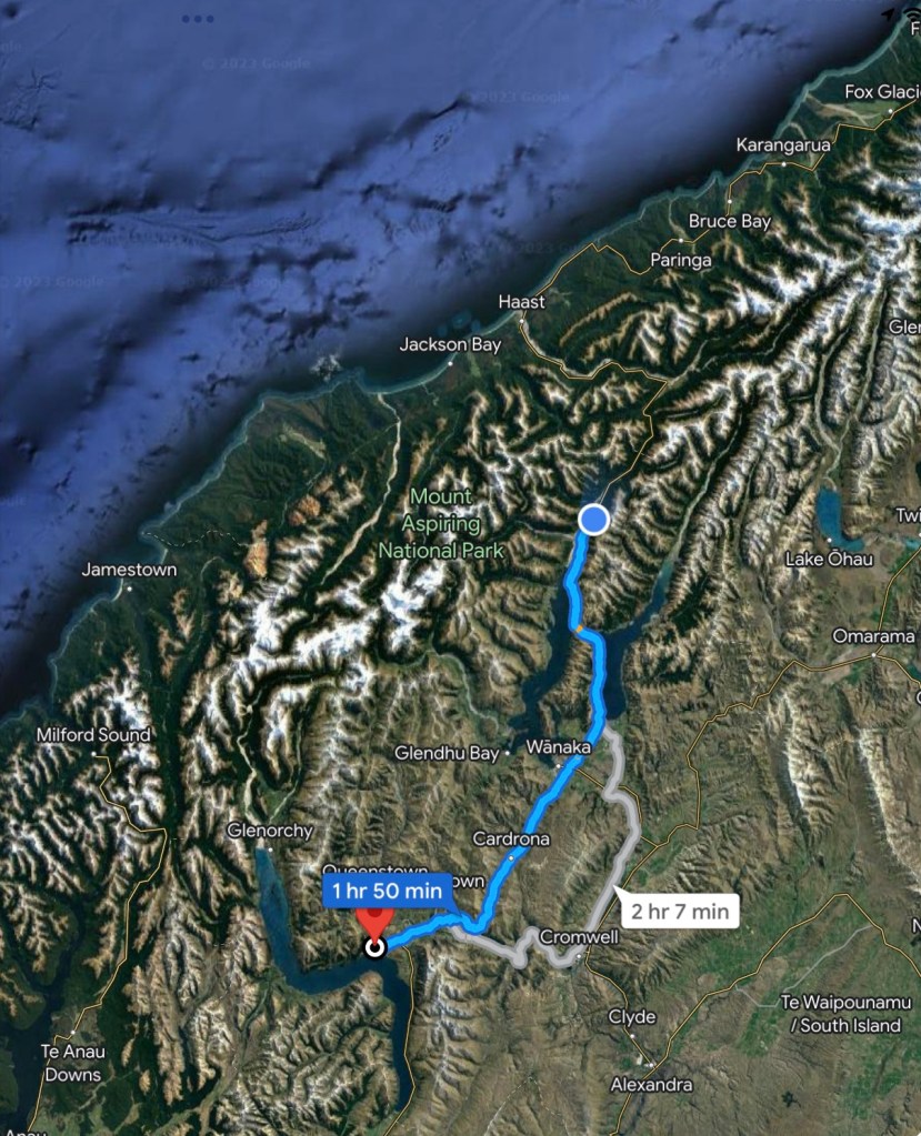
We said goodbye to Queenstown and started northwest to Wanaka for a morning hike before heading into the southern alps on our way to the west coast. The stick was a challenging hike up Rocky Mountain in the Diamond Lake region. The carrot was a bit of beach time in Wanaka plus a wine tasting at a local vineyard. The days’ end would be in Makarora, a three building blip in the mountains.
Queenstown to Wanaka to Makarora

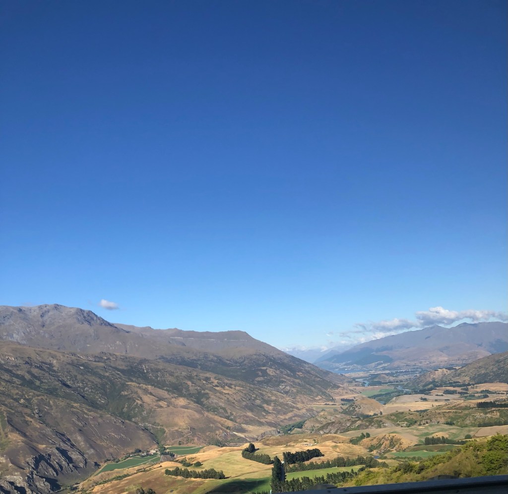
Our run of fantastic weather continues with temps in the mid 20’sC (73F) and the bluest of blue skies. The road out of Queenstown was ridiculously steep with the van never getting out of 2nd gear. Finally we crested the hills and started toward the Cardrona valley.

Valley to Cardrona

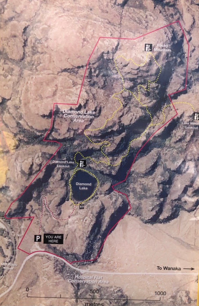
Just outside Wanaka, which is situated on the huge and beautiful Lake Wanaka, is the Diamond Lake conservation area and the Rocky Mountain track. Our goal was to reach the summit lookout at the top of the yellow trail map below.

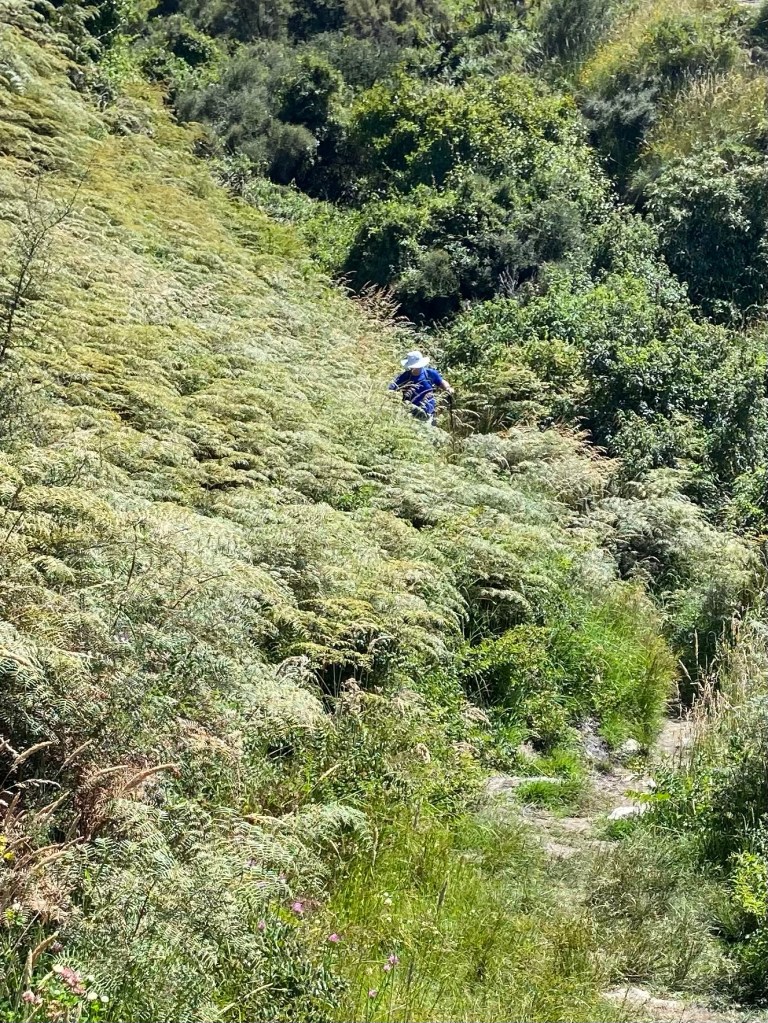
As you can see there are serious ridge lines that gave the impression we would be mountaineering versus hiking. The route involved climbing up to the left of Diamond lake, continuing up the left ridge lines and eventually reaching the top. Our return was the right side of the track until they came together just above the lake. The path was very narrow and in thick foliage. The ridge lines were steep and challenging. In some spots it was an 18” wide track and the abyss to your left/right.
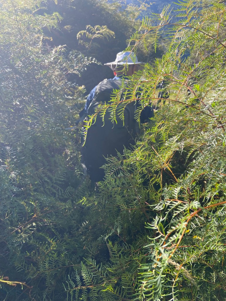
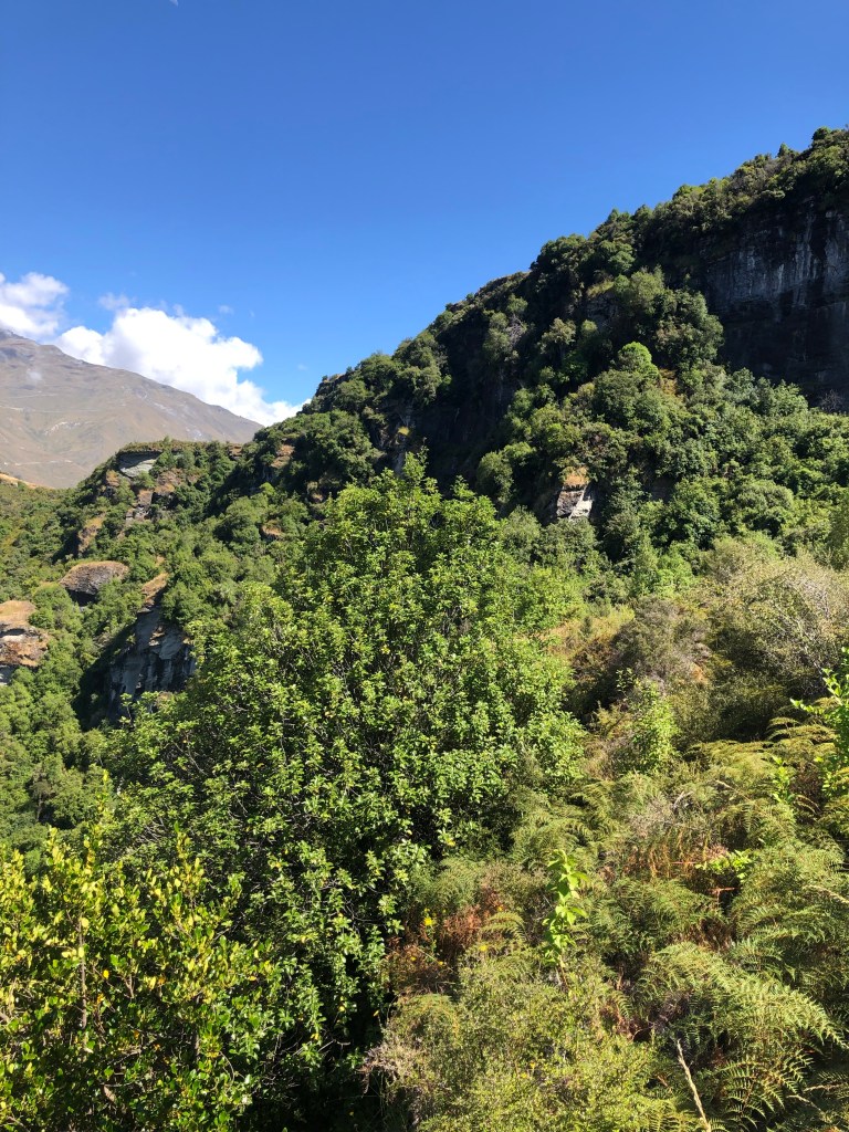
Thick foliage hides the trail

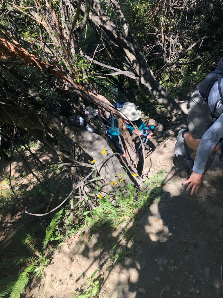
There were points where we scrambled up on hands and knees.

All hands and knees on deck

And there some points we just had to go around.

Heart rates in the 150+ range for over an hour and breathing frequency that was off most charts meant slow going. Who needs a gym?! Finally we broke through above a ridge line and emerged into a large meadow.

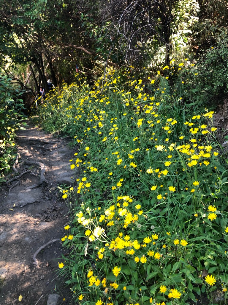
The foliage threatened to overwhelm at times

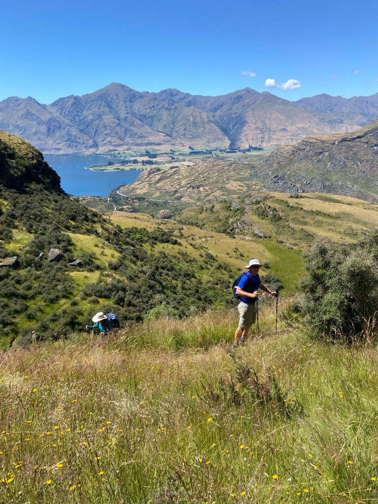
Finally we emerged at the top and yet again, the physical challenge gave way to a picture postcard view down to the various bays of Lake Wanaka.

Lake Wanaka with a dry riverbed on the left

The walk down was equally difficult but provided some colourful images including a look down on Diamond Lake.

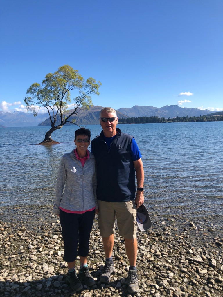
Back on the bus and into town for a brief wander and a photo op by the “world famous tree growing out of the lake”.

“The tree” Lake Wanaka

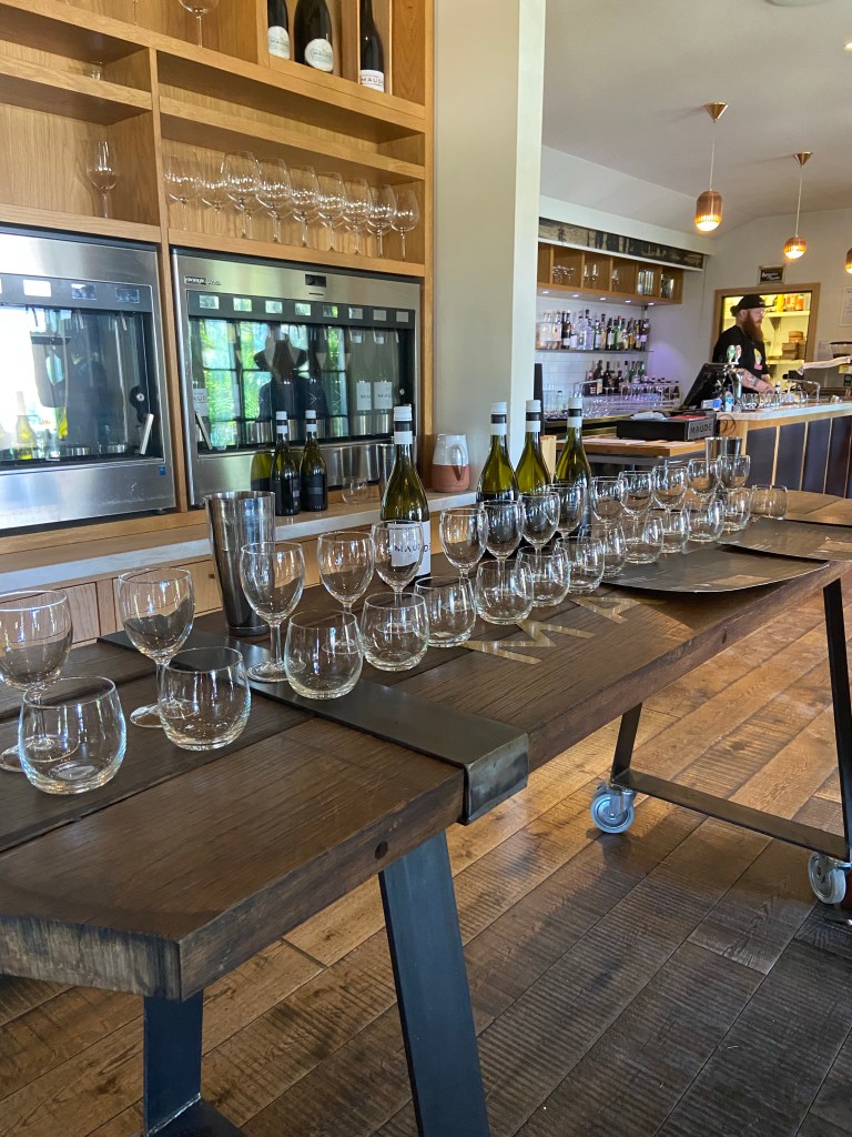
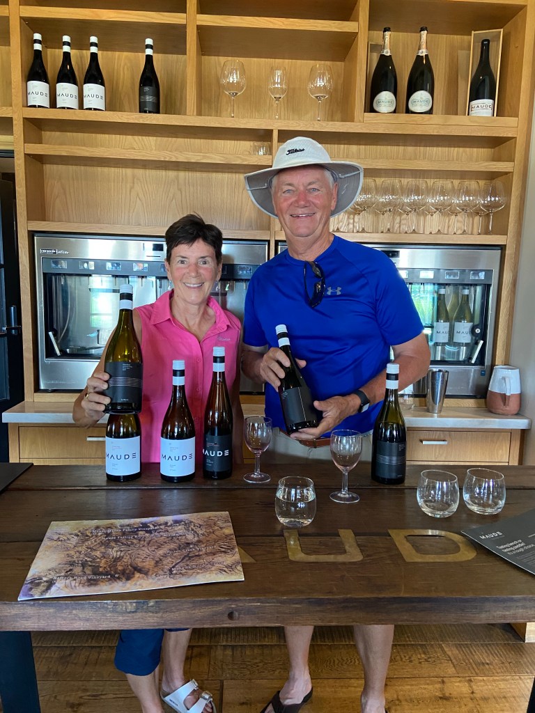
Just out of town is the boutique winery Maude. It specializes in a couple of white wines but pinot noir is its specialty. We had six tastings in total, 3 whites and 3 pinot noir. Nice but not the style of wine we’ve become accustomed to.

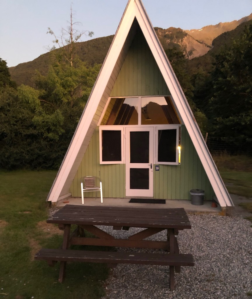
Back in the bus again for the final leg to Makarora for the night. Blink and you miss it as the lodge we stayed in was basically the entire community. Neat A-frame huts were our rooms although given the fatigue level we would have slept anywhere. And to boot there was a brilliant sunset.
Tomorrow is a killer hike up beside the Fraz Joseph glacier. Ouch already.