Wednesday, January 18/23 – West Coast Highway (& Hike)

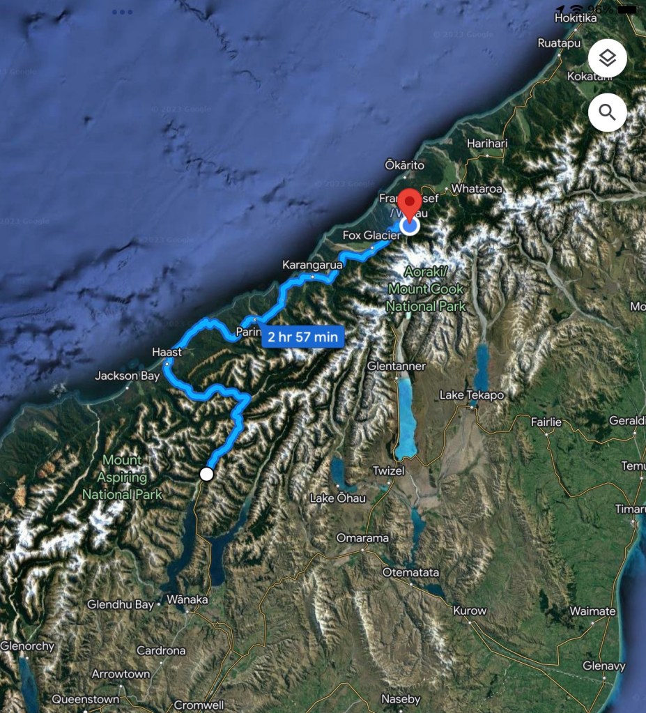
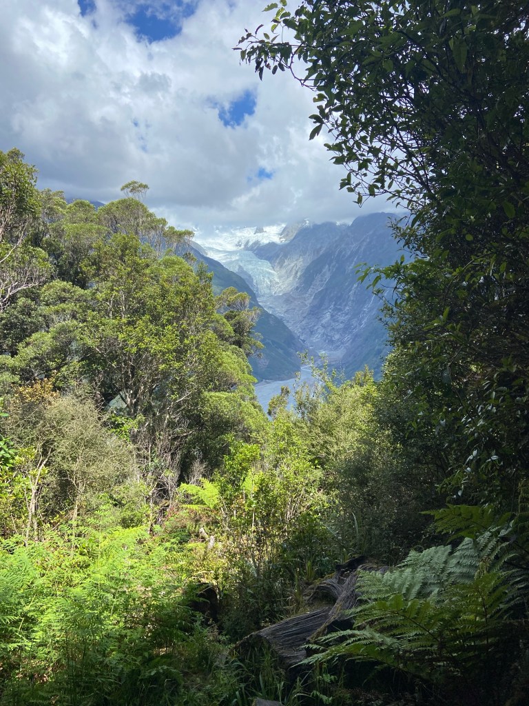
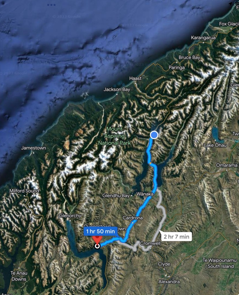
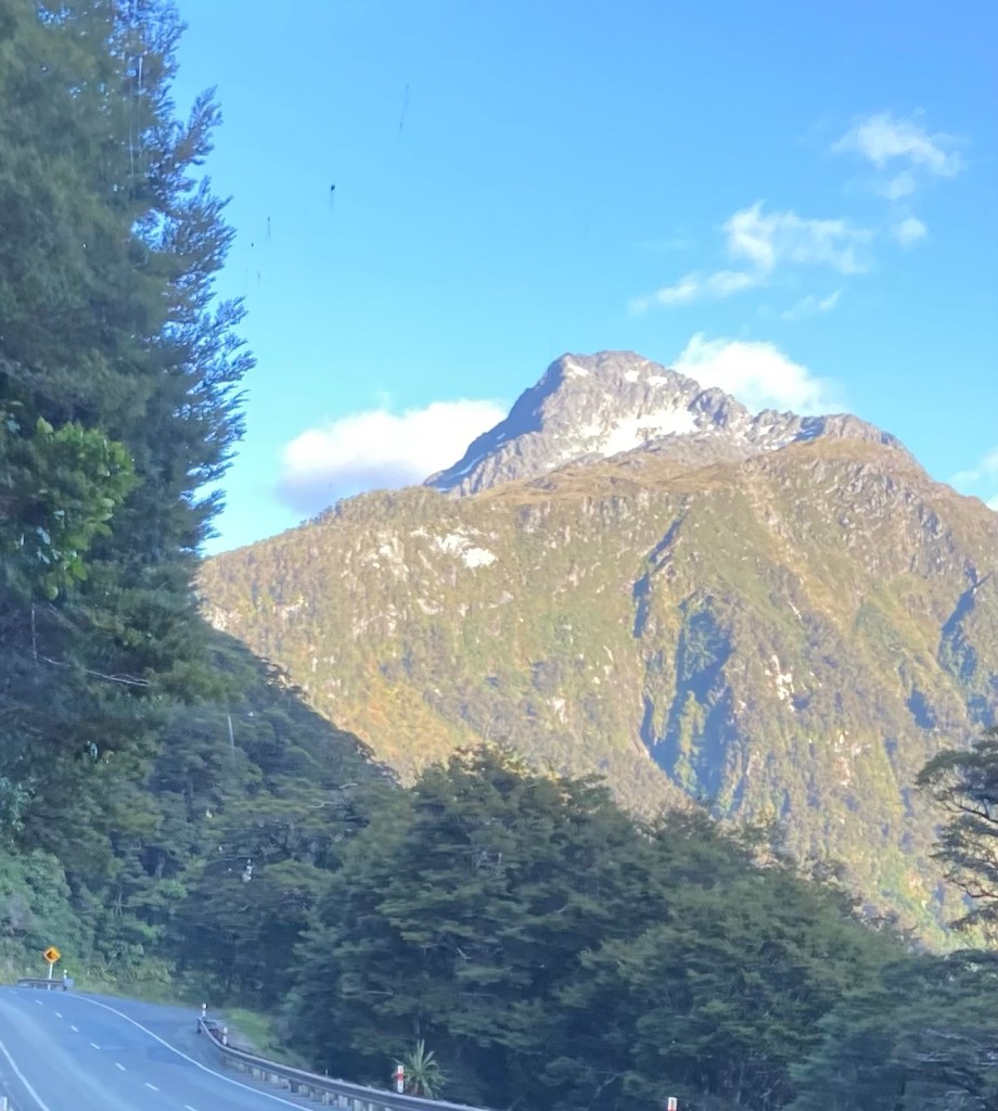
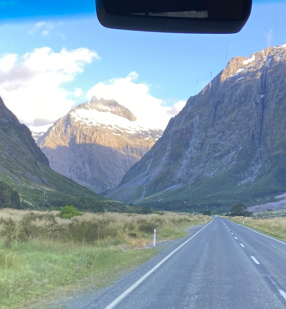
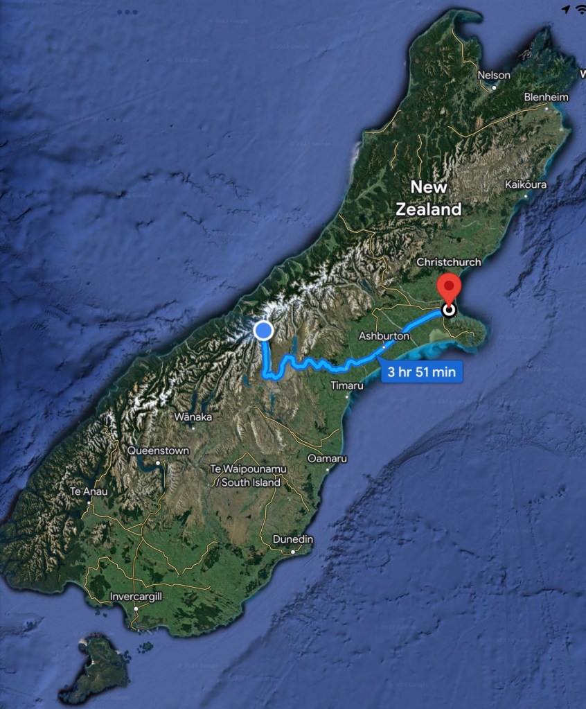
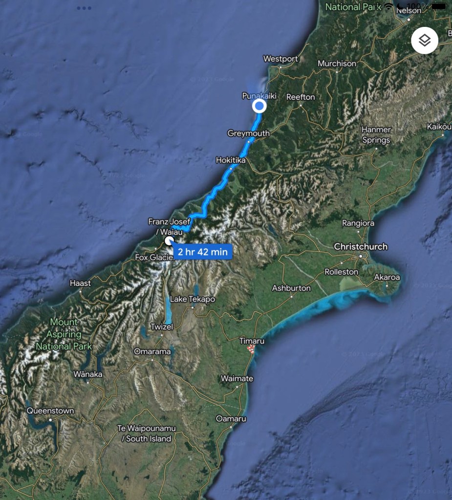
We drove north from Franz Joseph along the west coast highway towards our goal of Punakaiki.

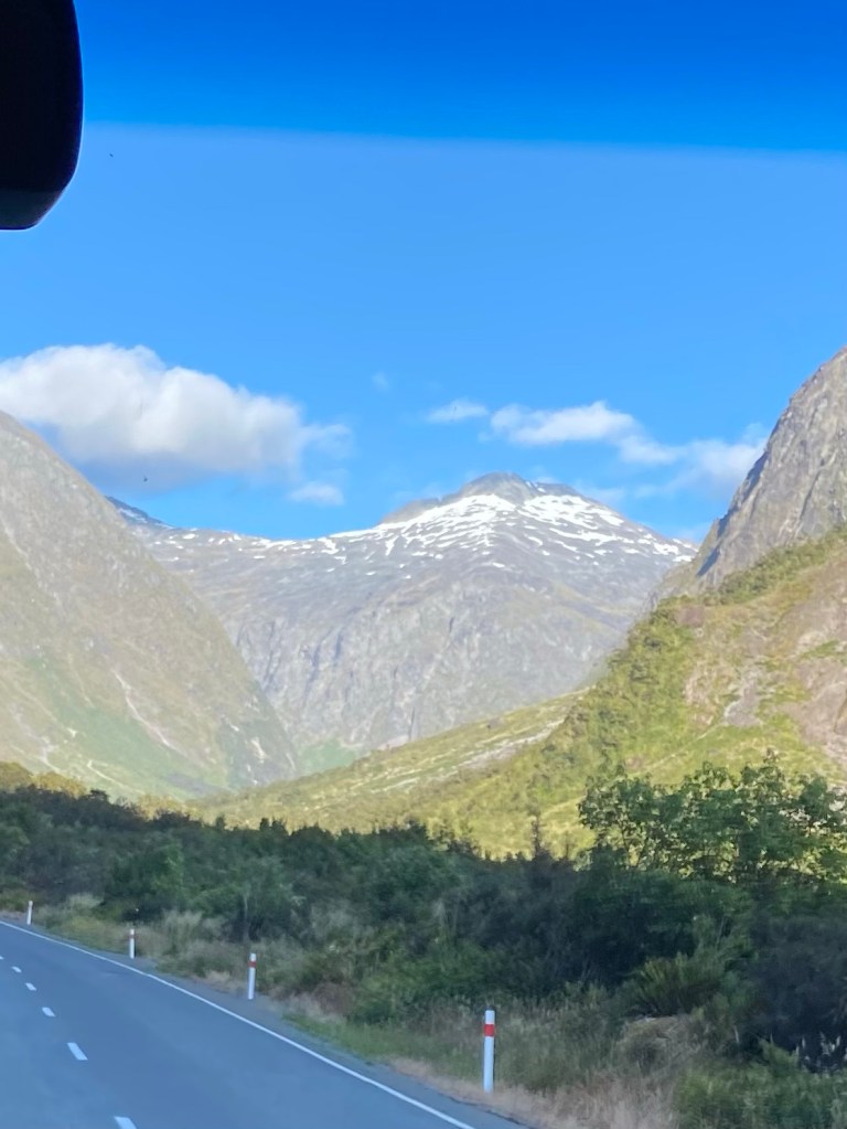
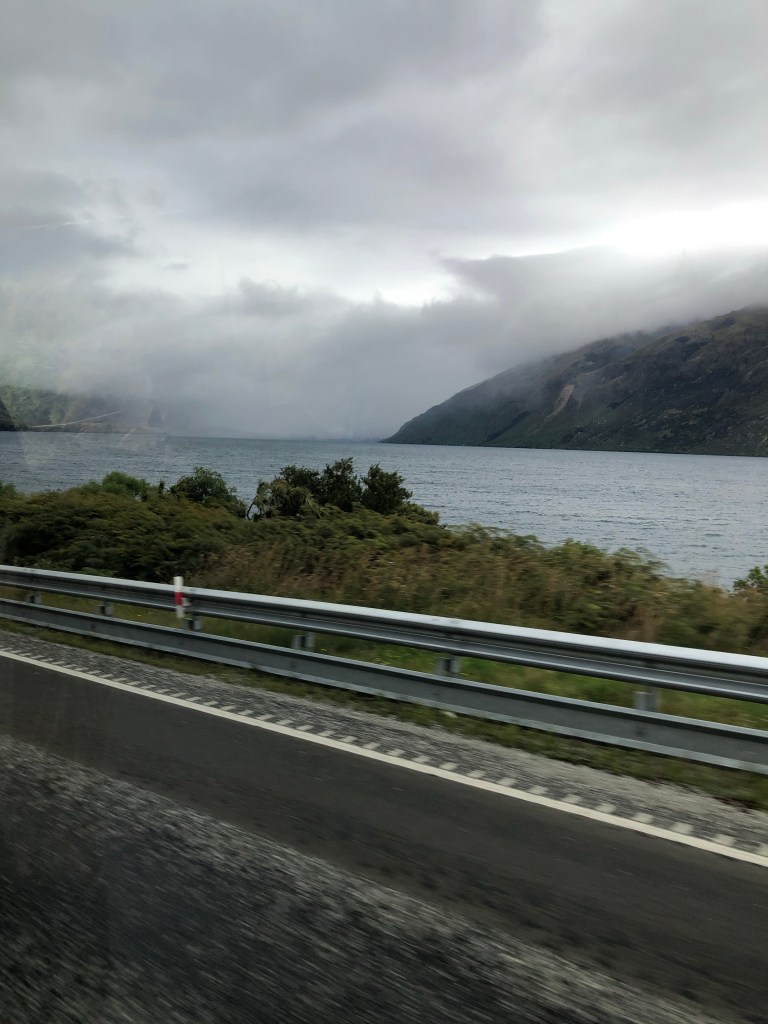
Early on there were a number of switchbacks which required low gear climbs up the mountains when there was insufficient land near the sea. On these upper plains we worried our perfect record of hot sunny days may be ending as the mountains were shrouded in clouds.

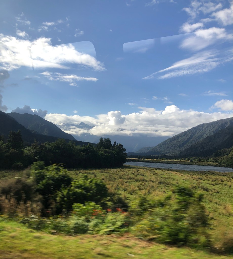
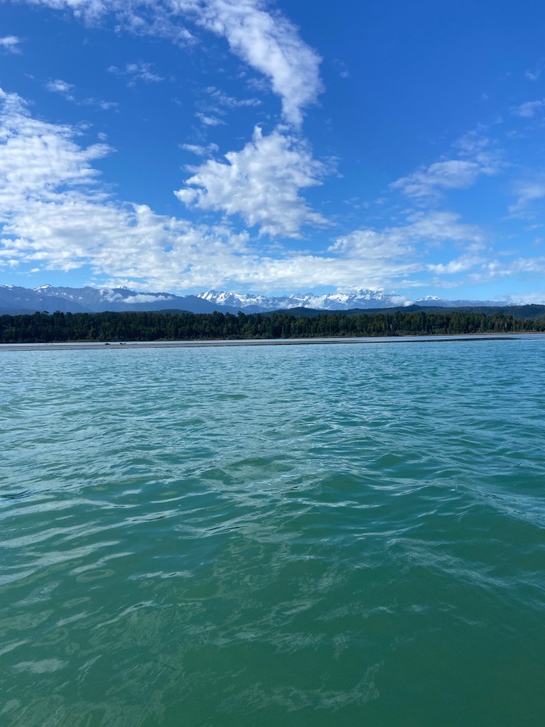
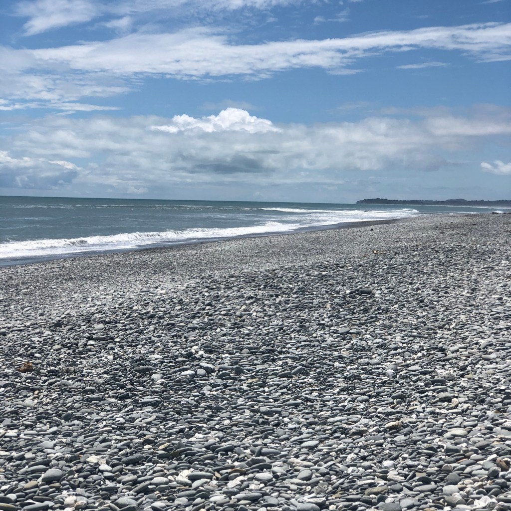
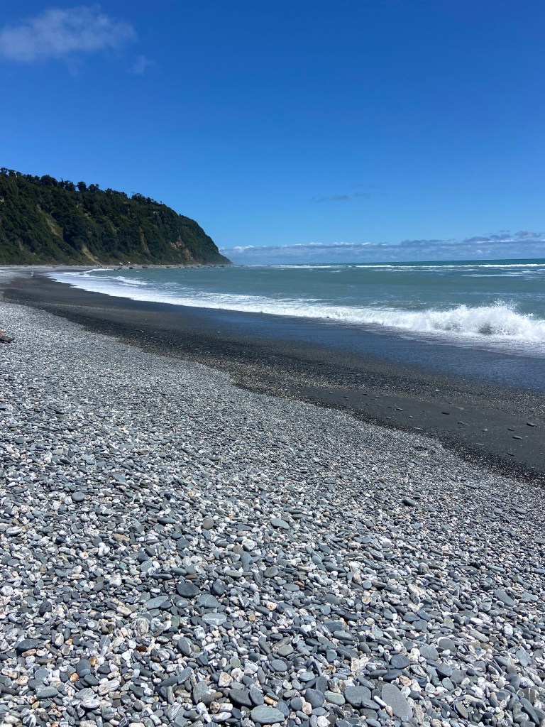
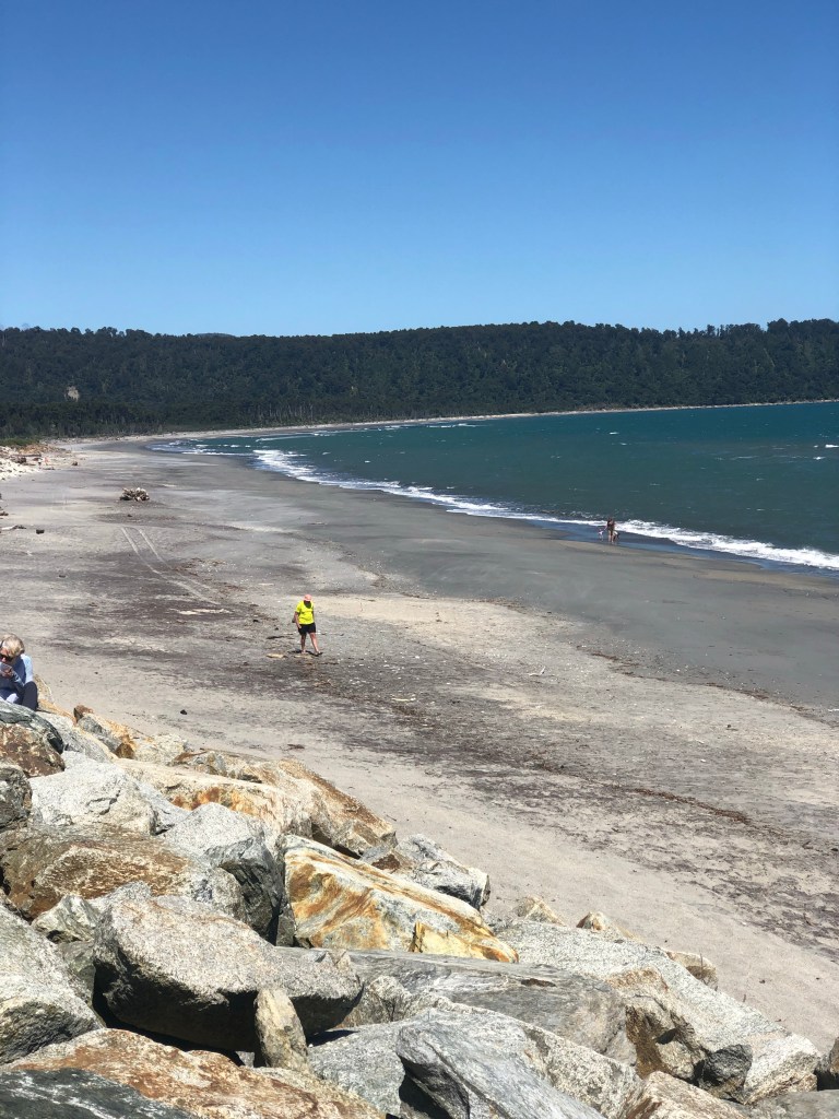
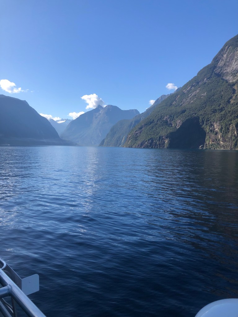
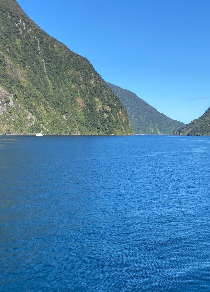
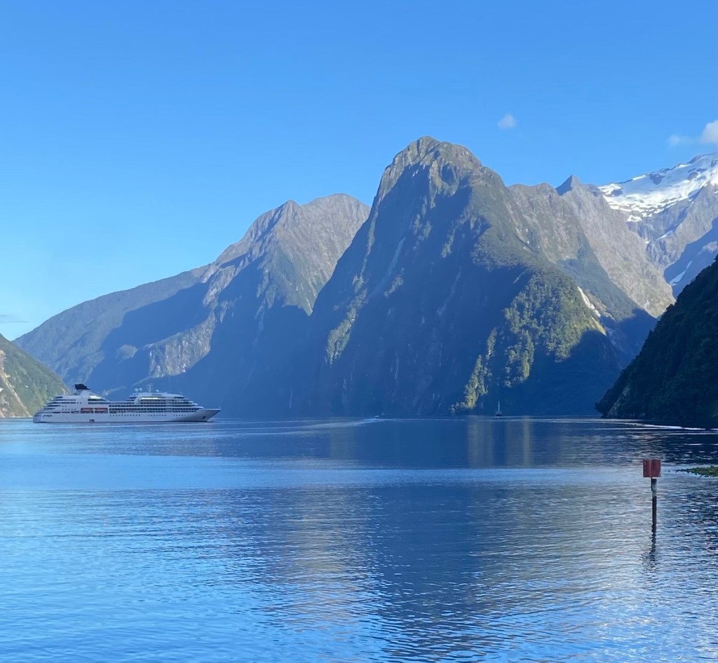
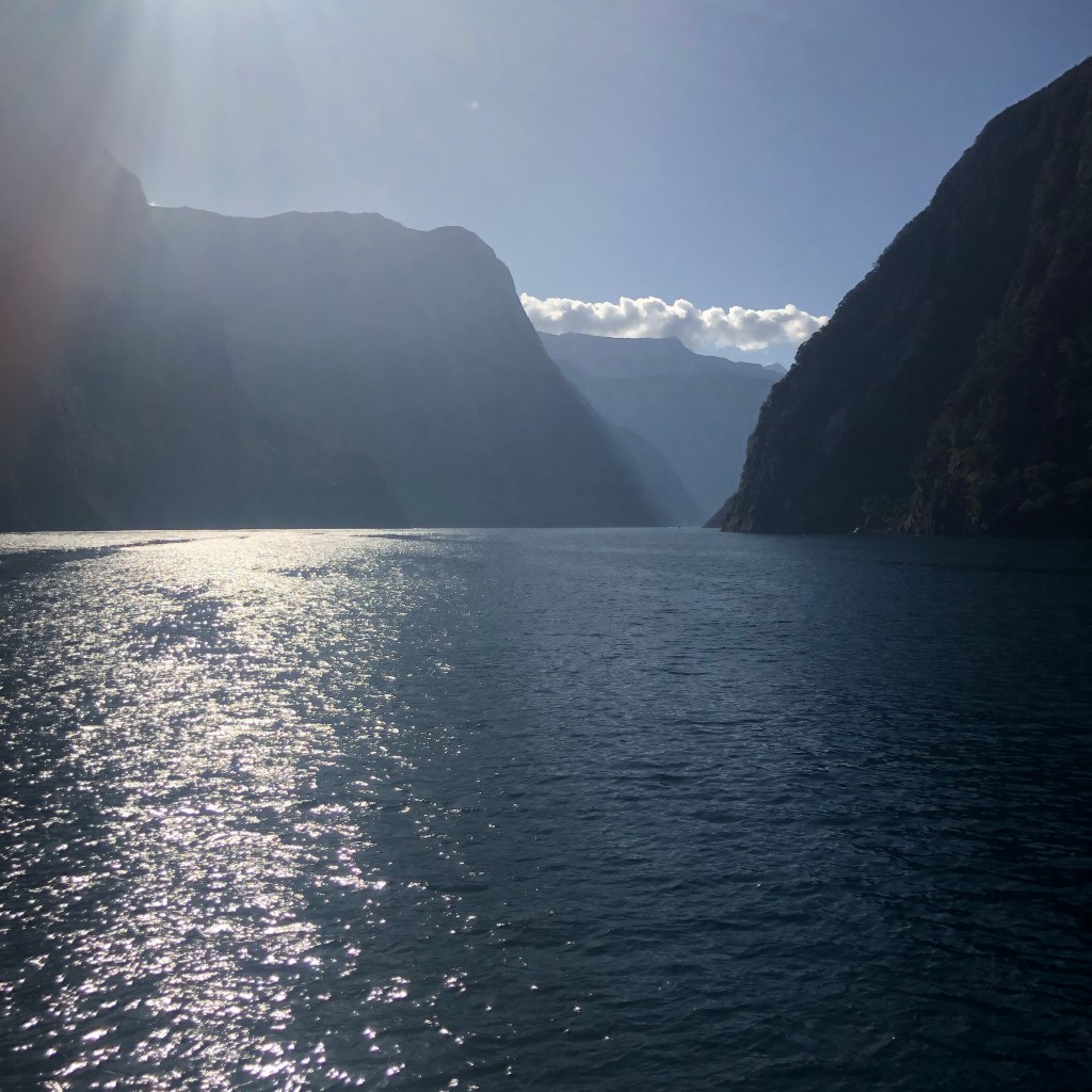
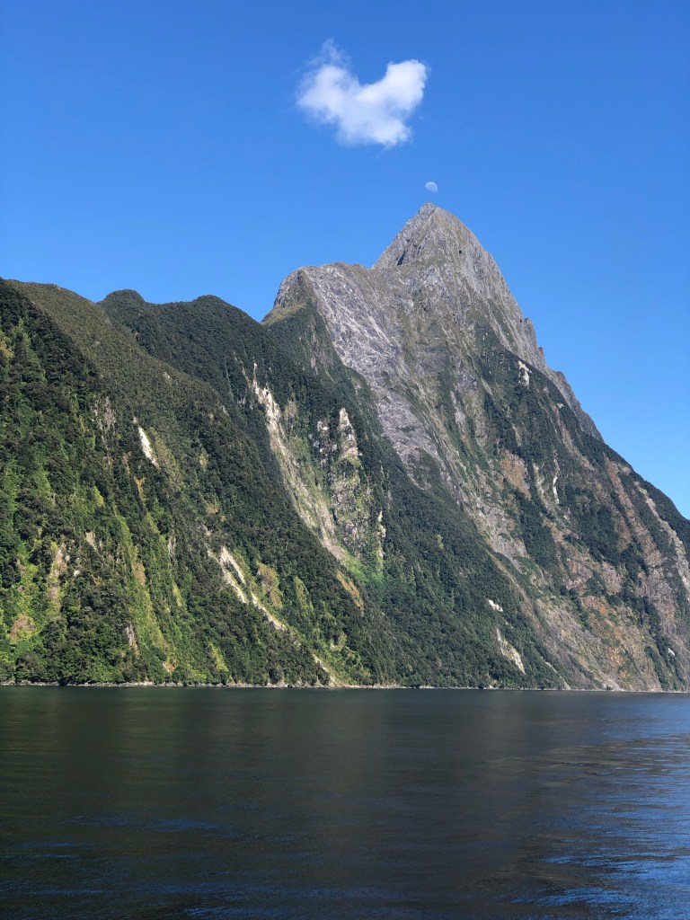
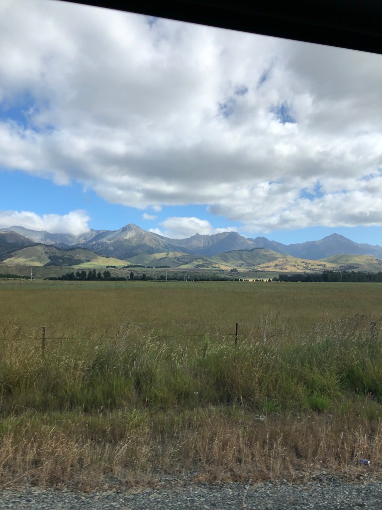
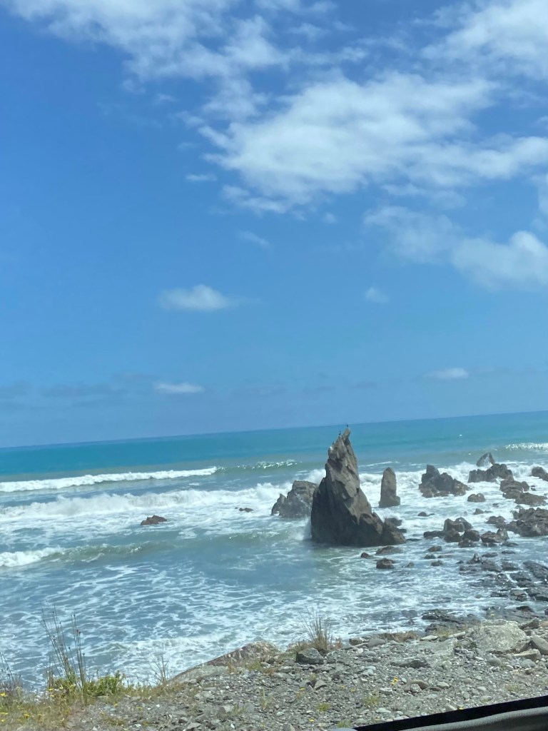
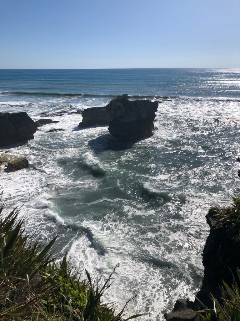
Then we swung back down to where the highway ran along the sea for mile after mile. It was spellbinding watching the waves crash ashore. There were stretches that rival anything, anywhere including Big Sur.

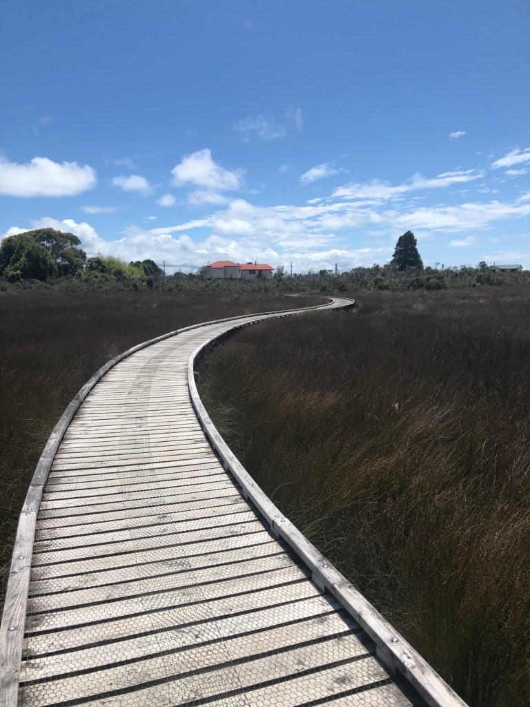
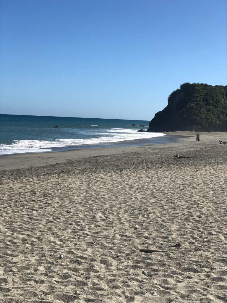
We stopped in Hotikita for a leisurely walk around town and a picnic on the beach. This town is famous for its green gem jewelry and possum/merino wool products. We did end up with a couple of souvenirs. Back on the bus and off to Punakaiki.

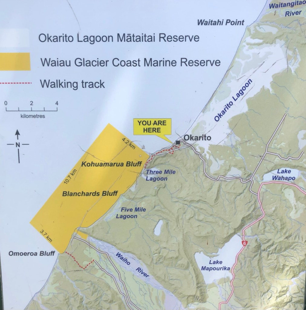
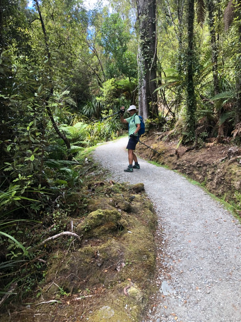
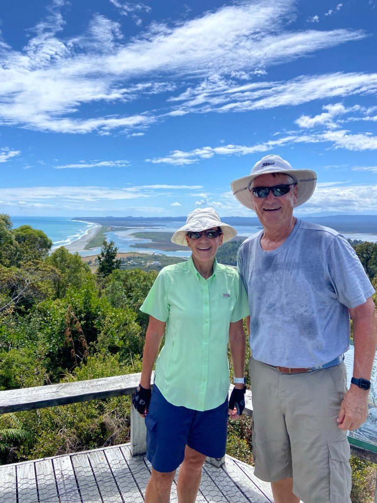
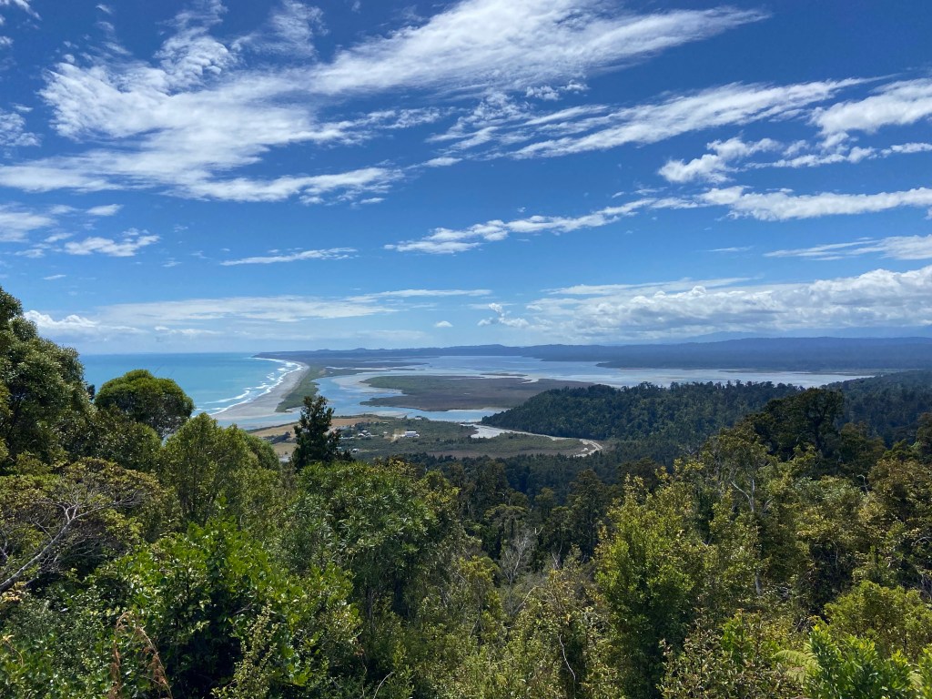
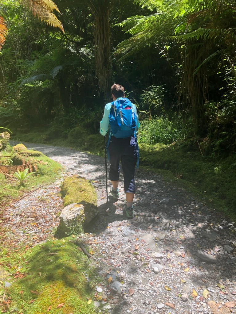
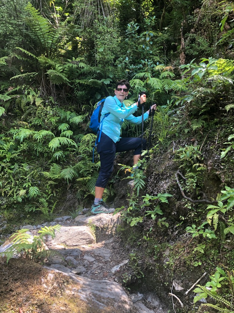
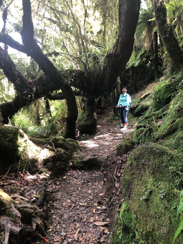
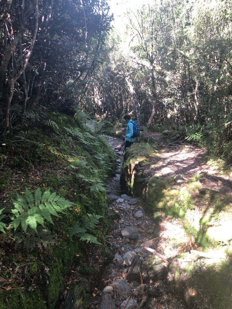
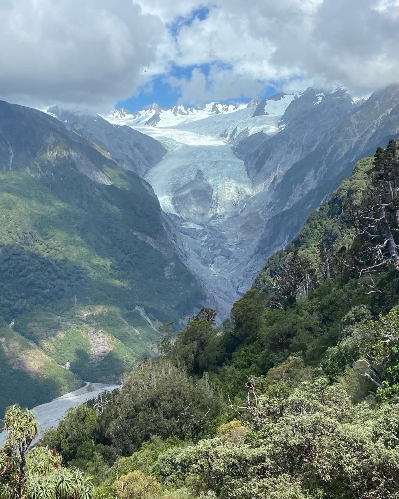
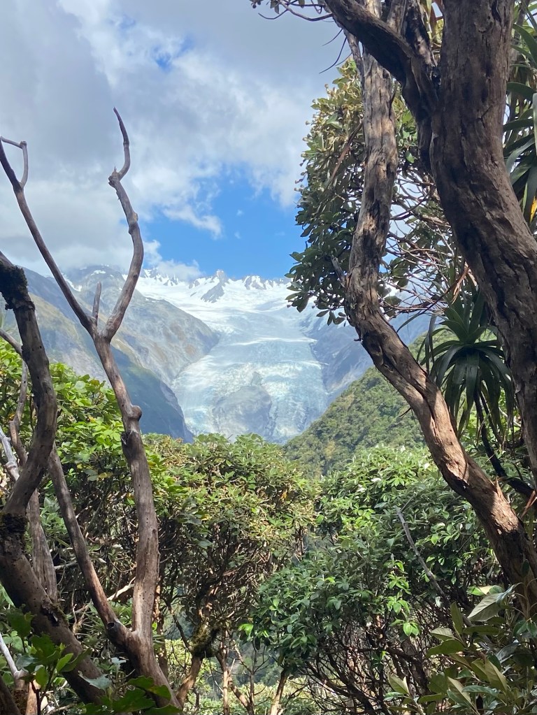
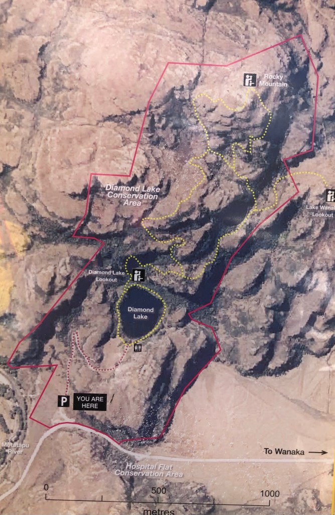
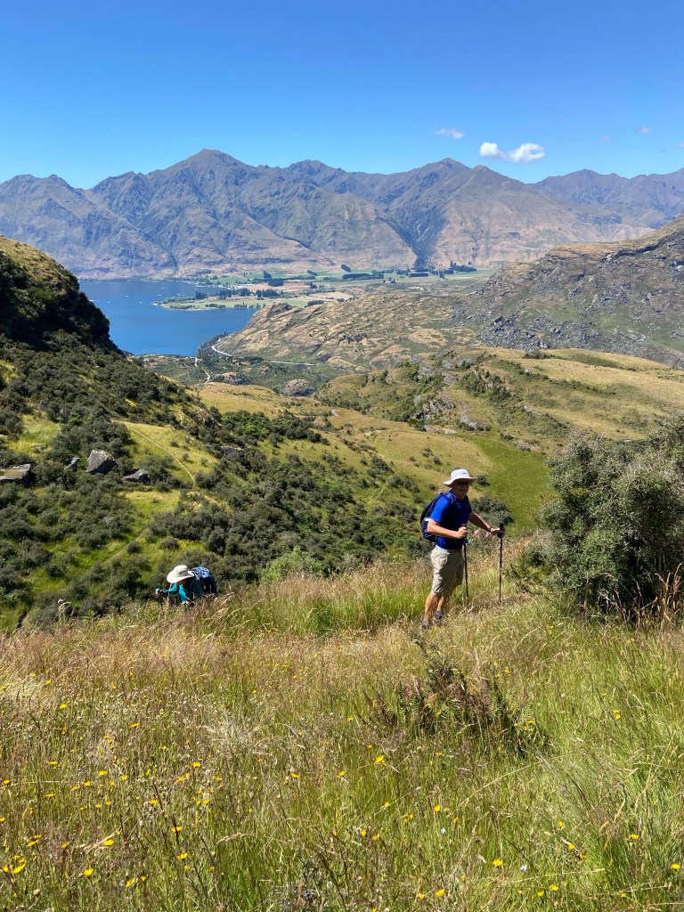
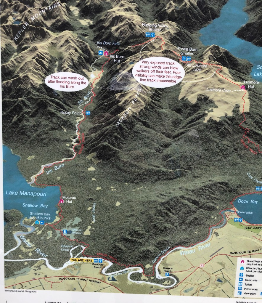
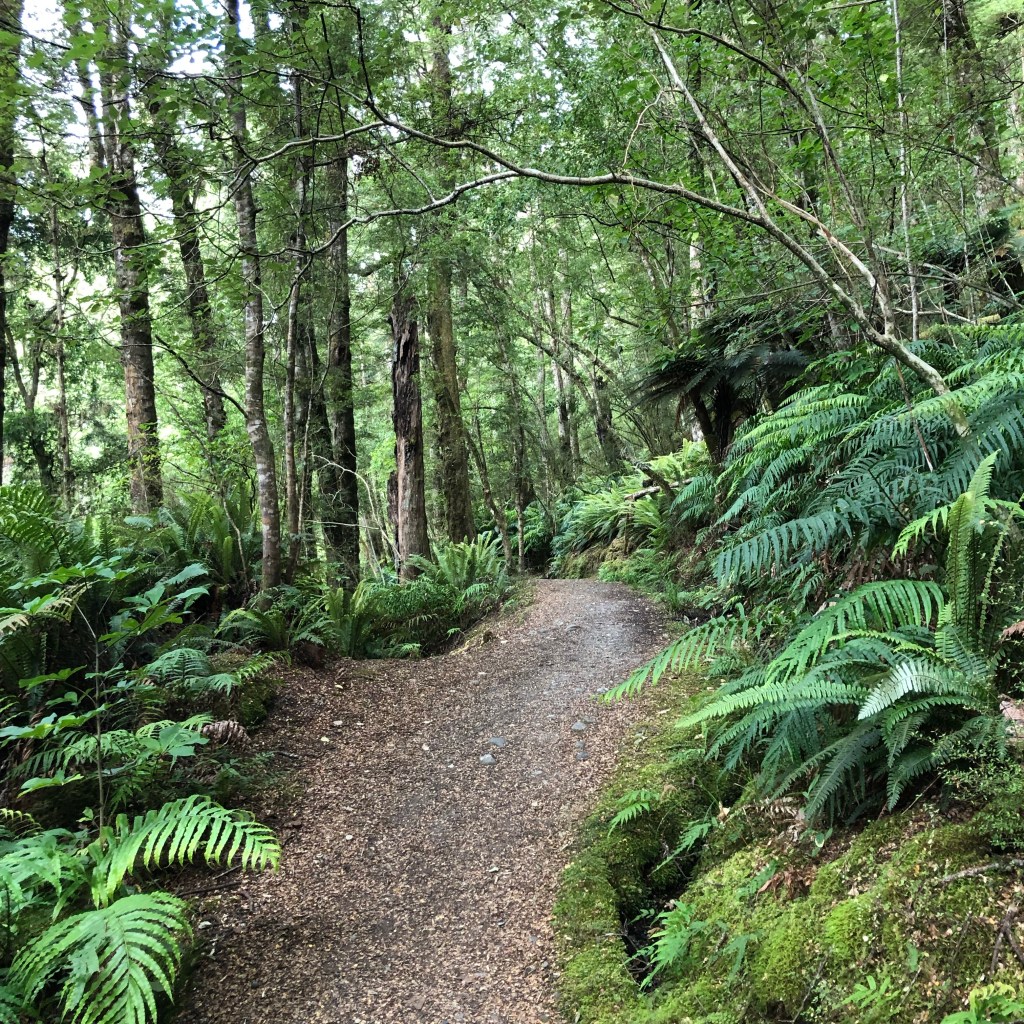
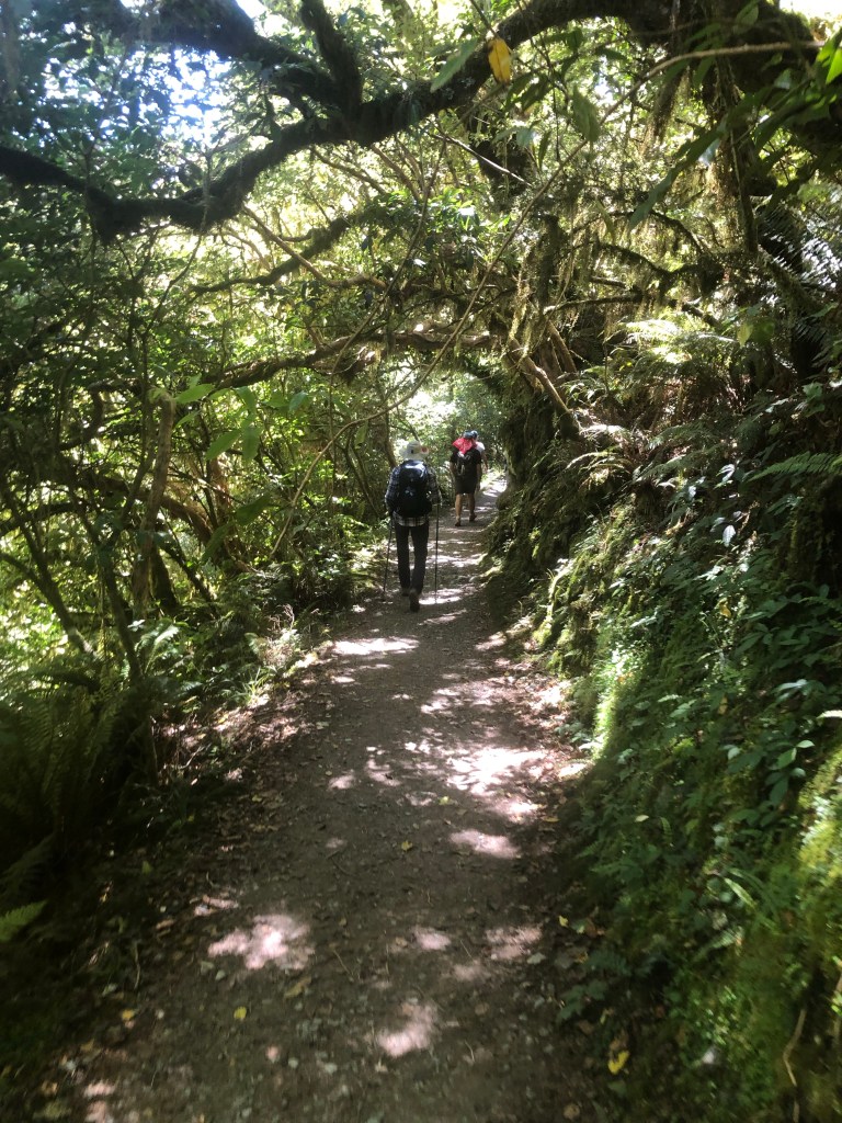
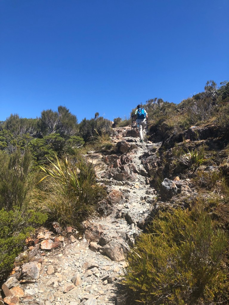
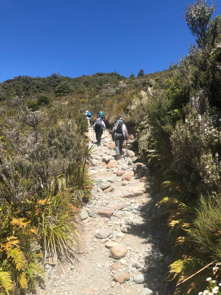
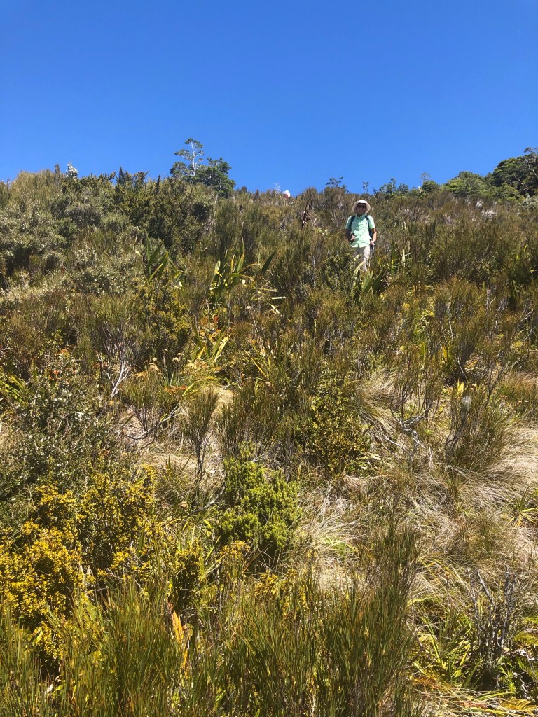
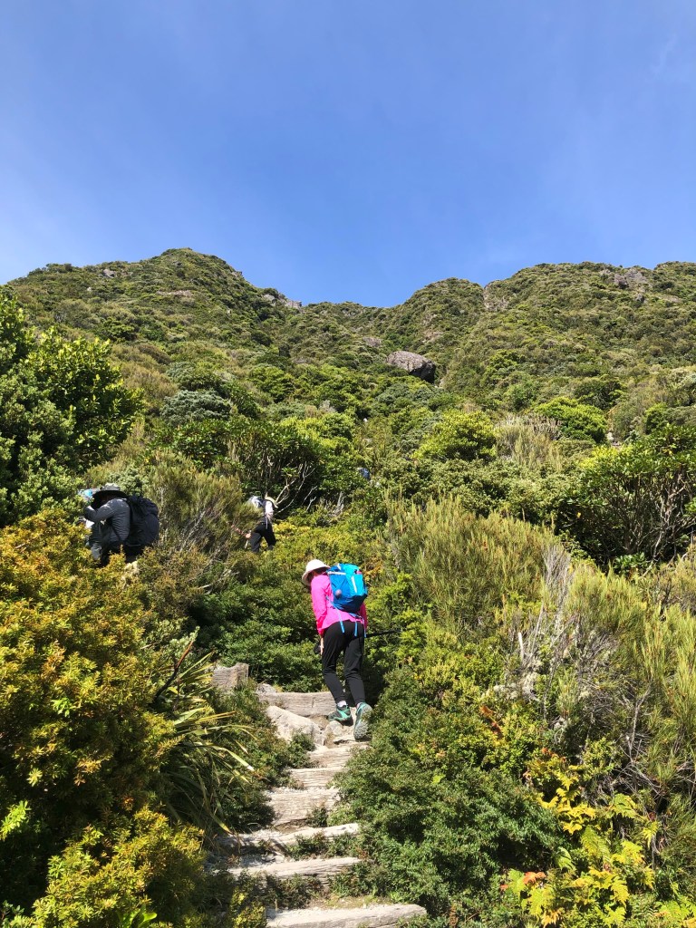
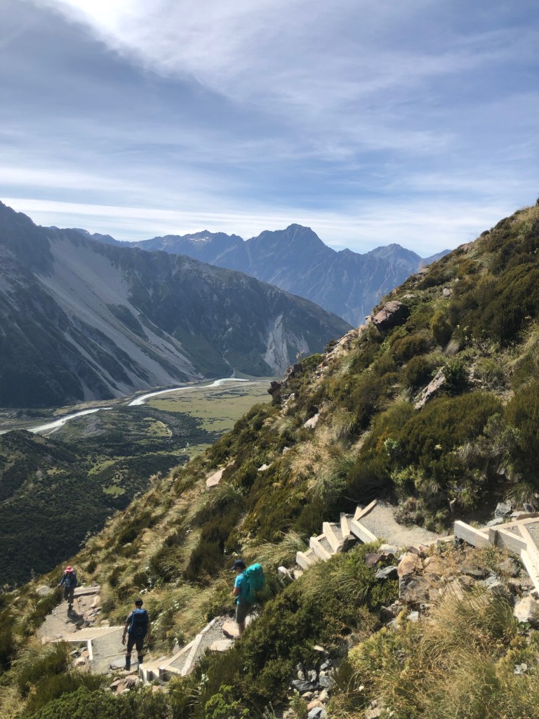
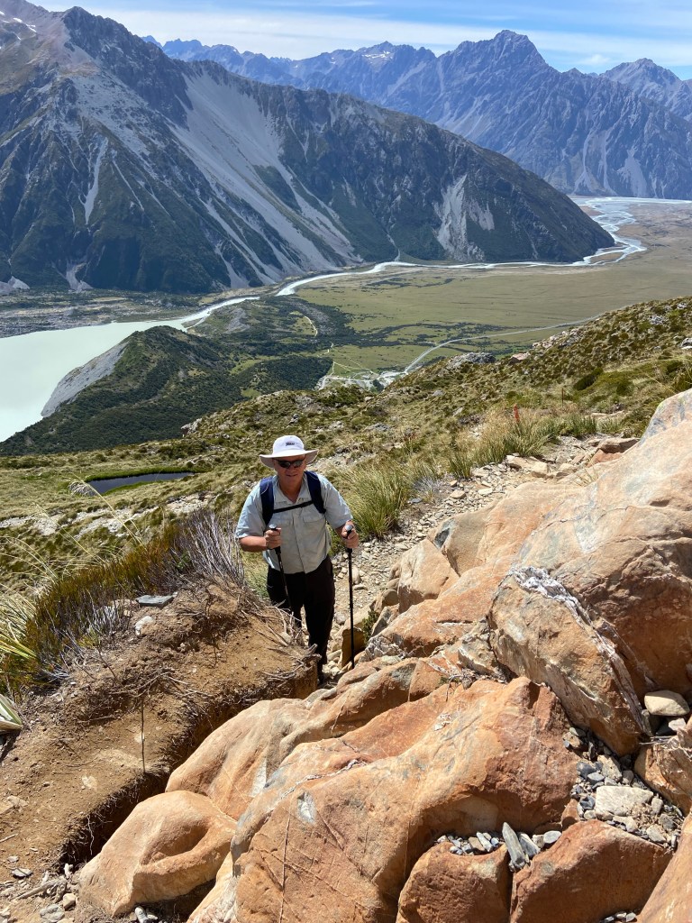
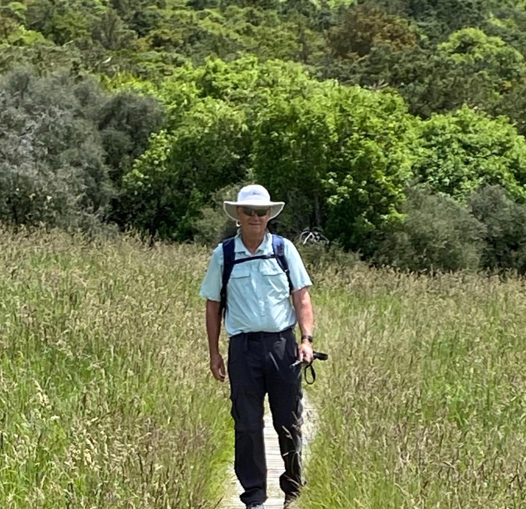
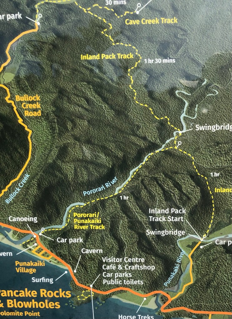
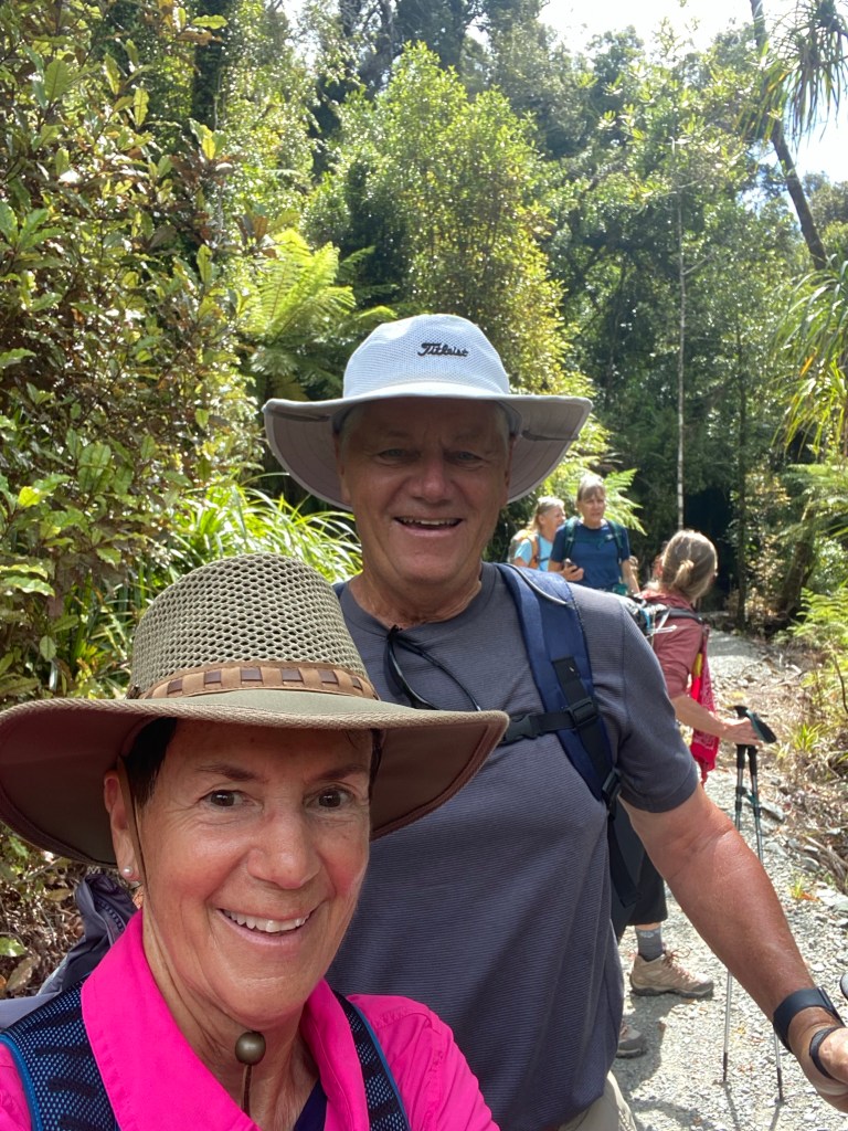
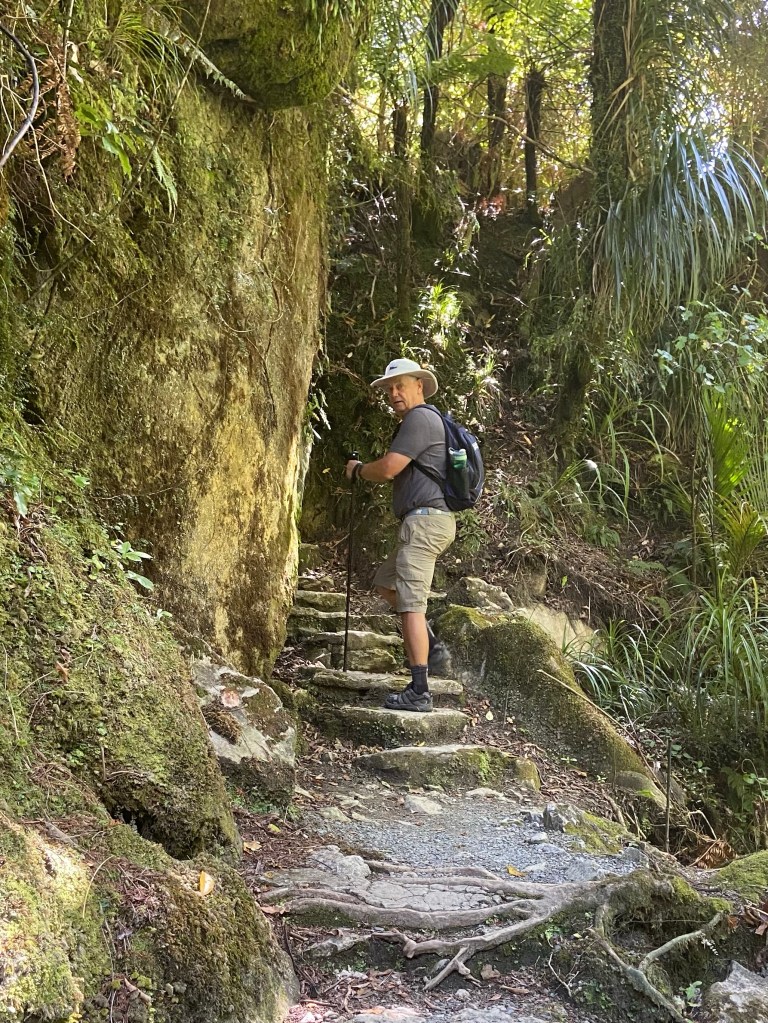
Our hike of the day was described as an easy walk, or as we learned, a fair tramp. It went up and over the hills above Punakaiki per the yellow line below.

Punakaiki River Track

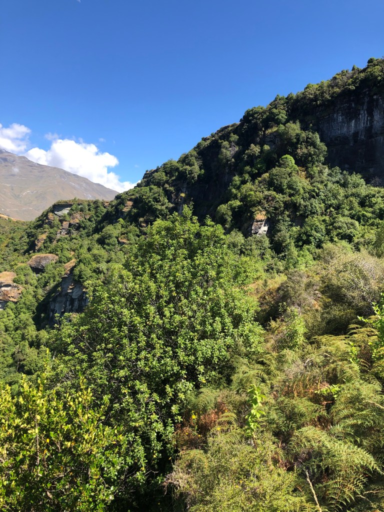
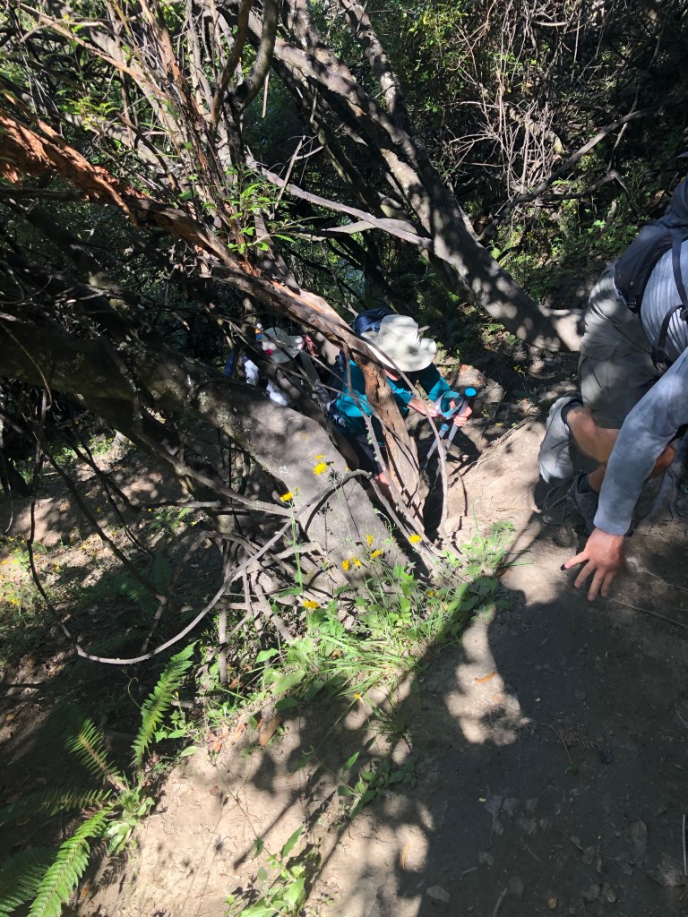
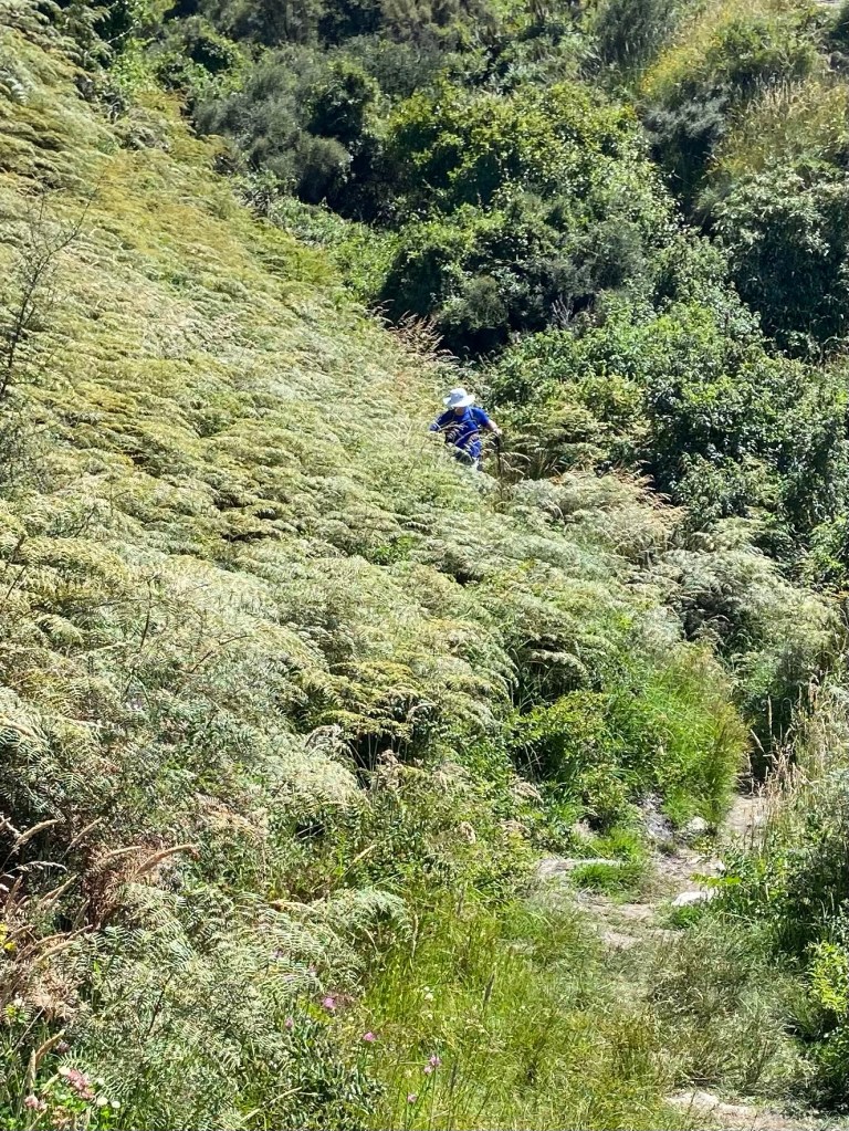
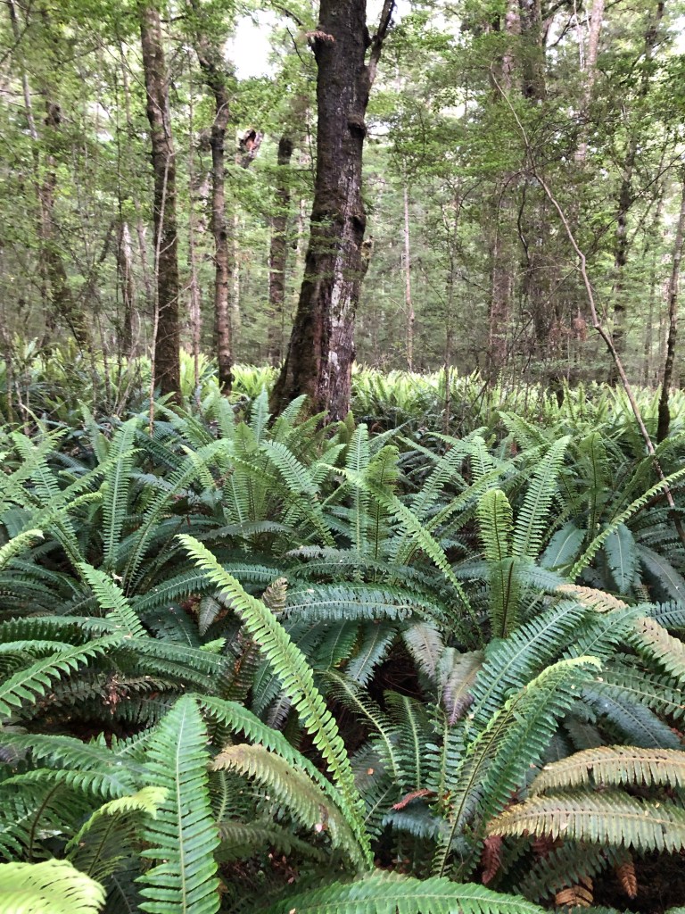
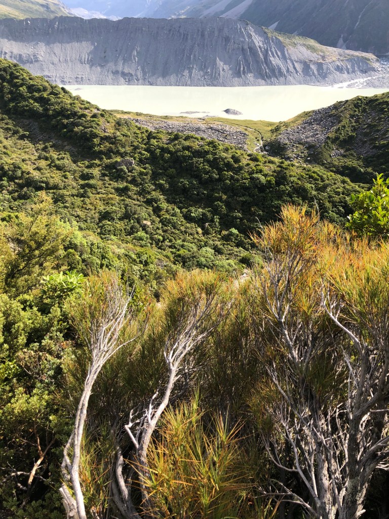
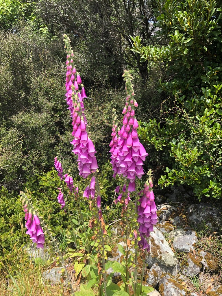
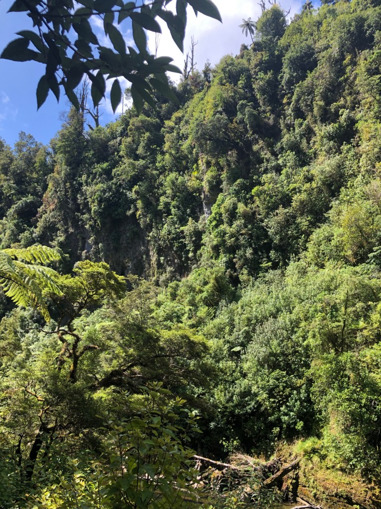
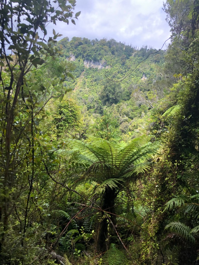
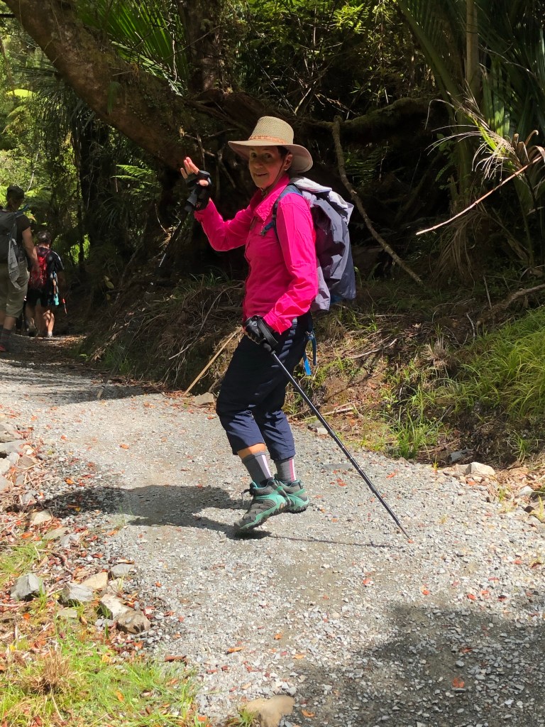
It was, in effect, a nature walk as many tree and bird species were pointed out and discussed. The tramp was fairly easy, certainly enhanced by the setting.

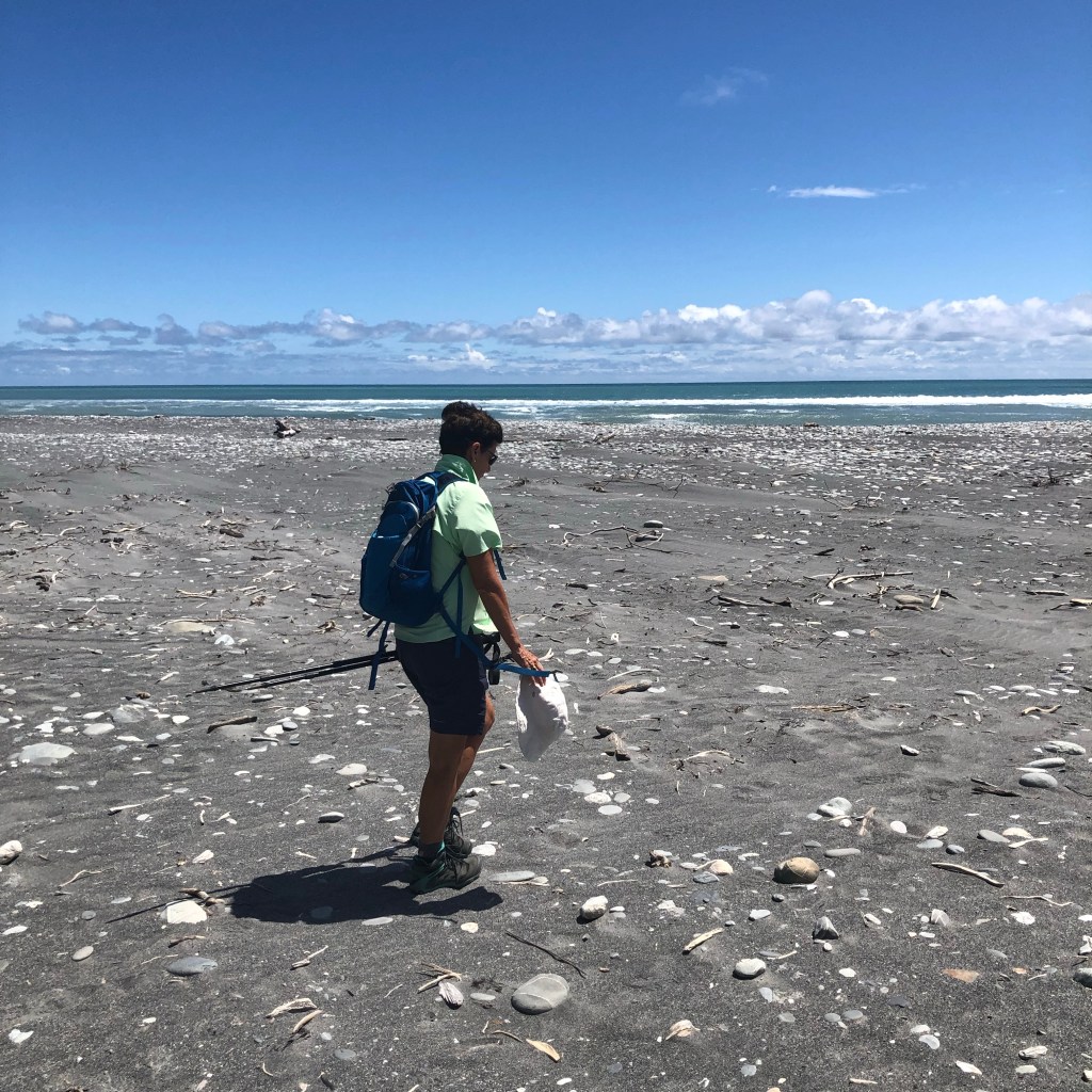
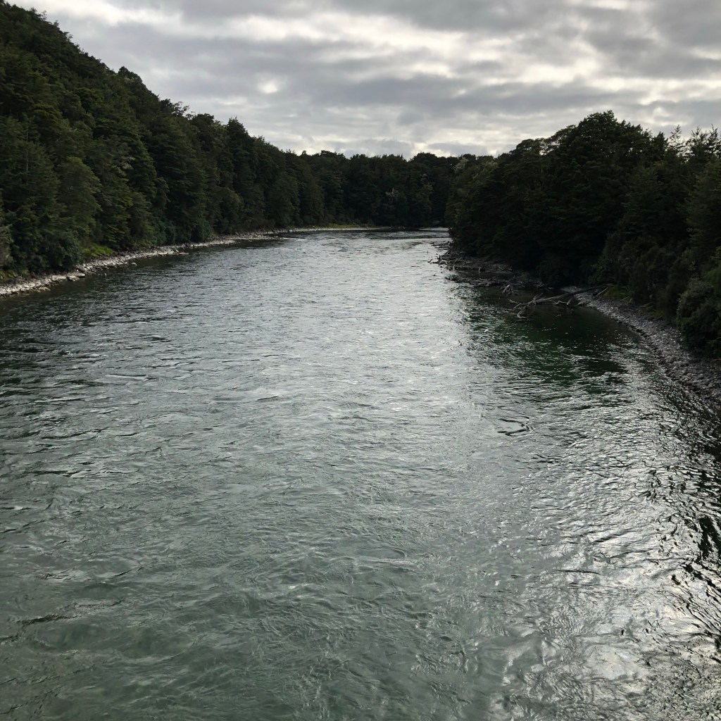
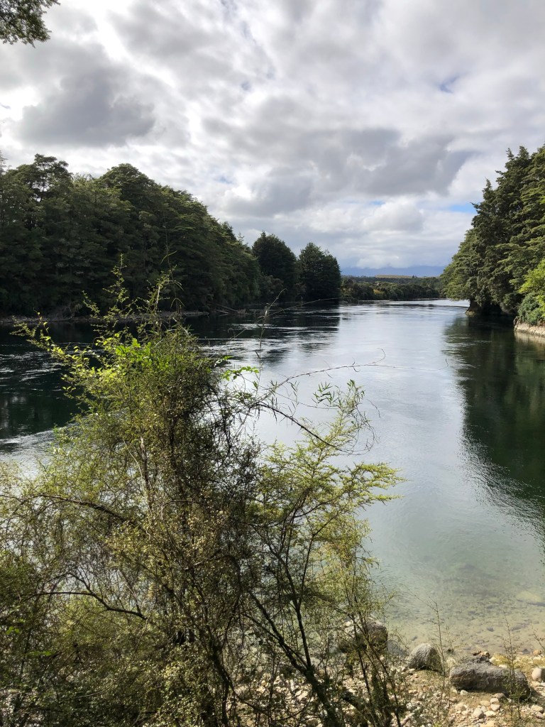
Our guides decided a quick swim in the quite chilly waters of the Pororari river was just the thing given the sun was again blazing down on us. Mo braved the waters, Mark took pictures.

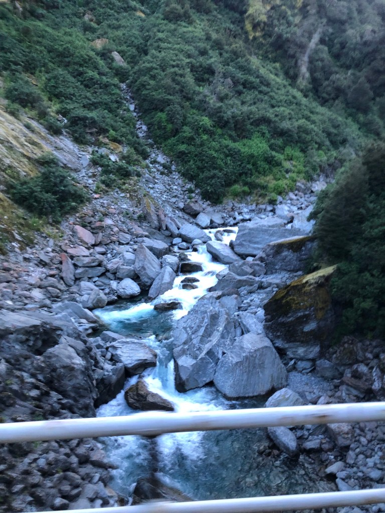
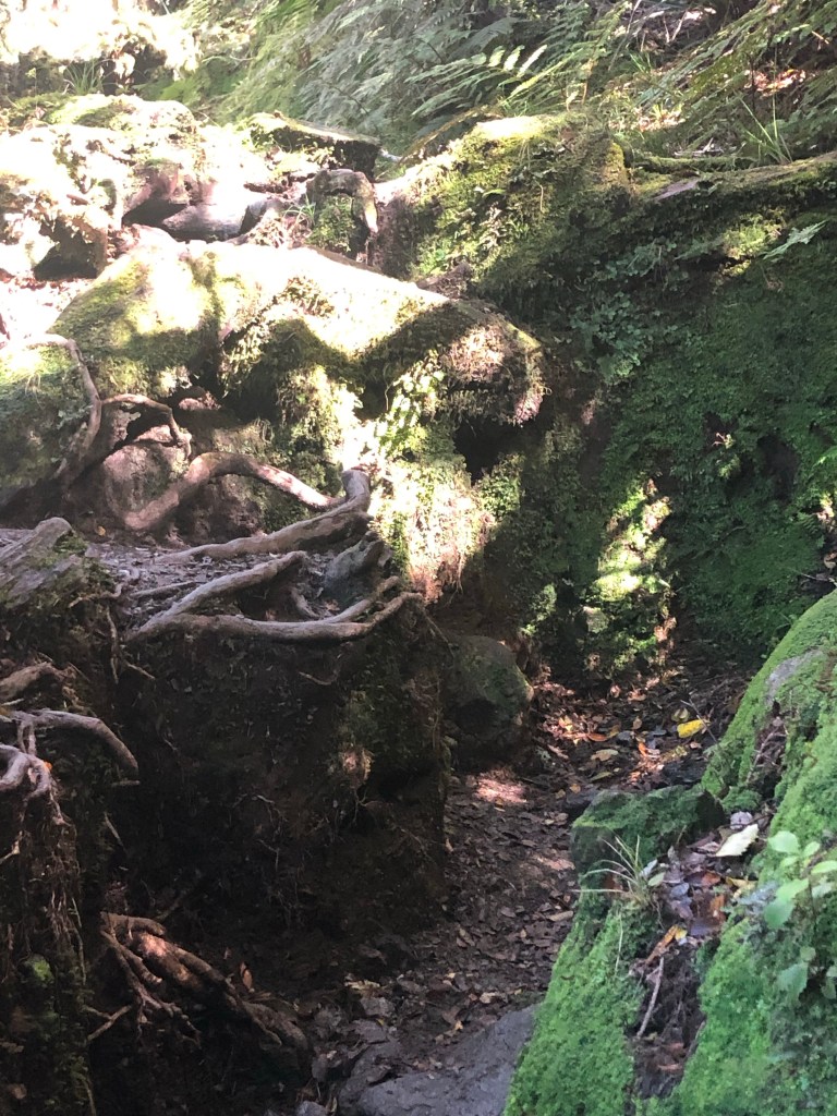
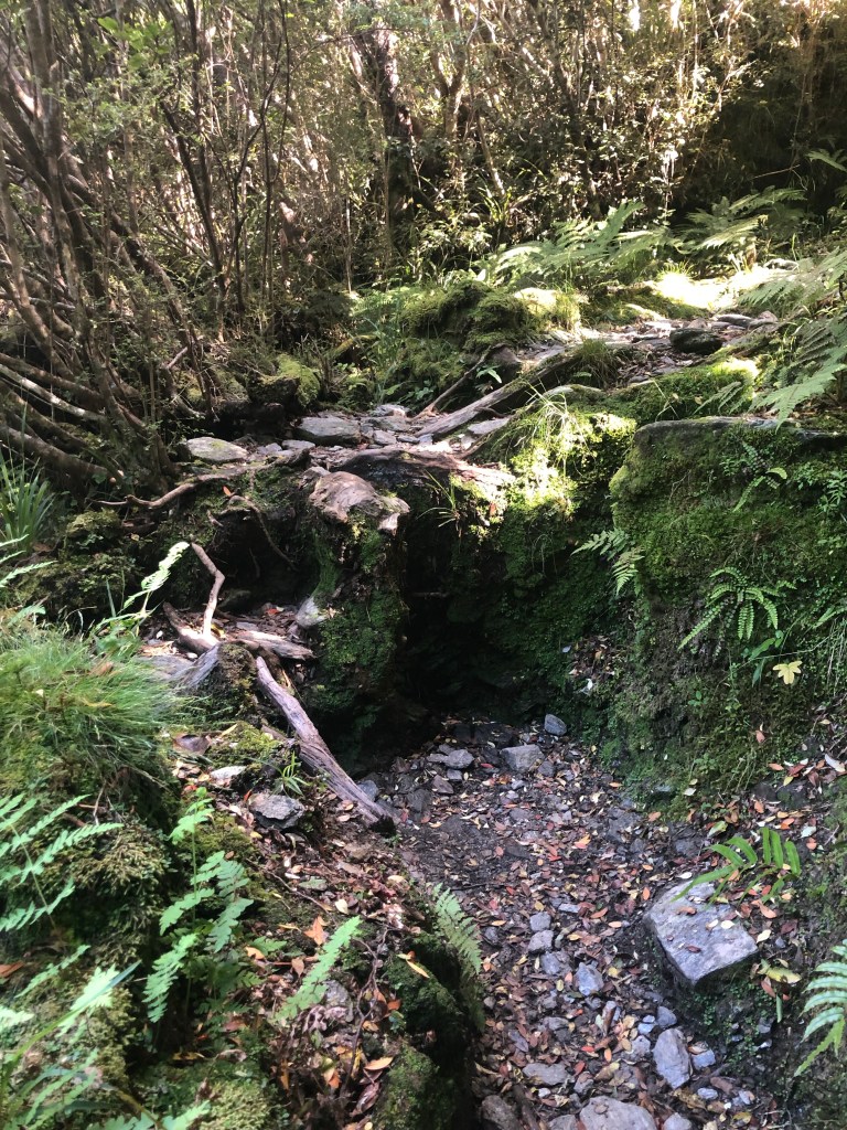
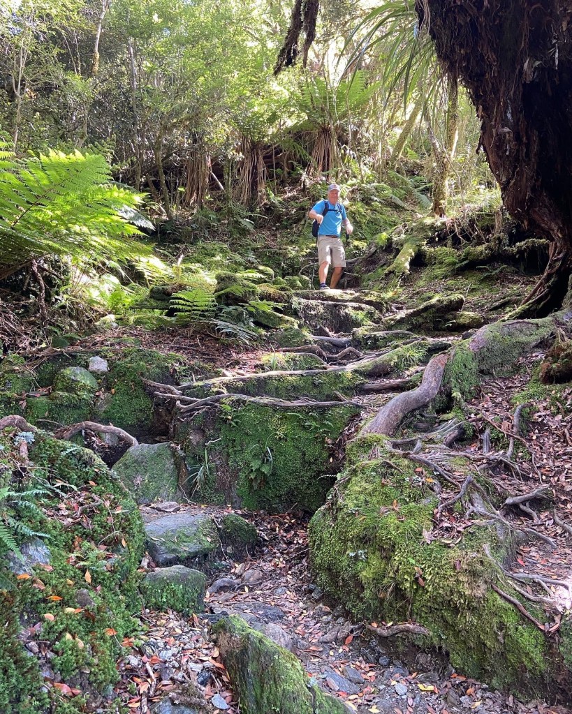
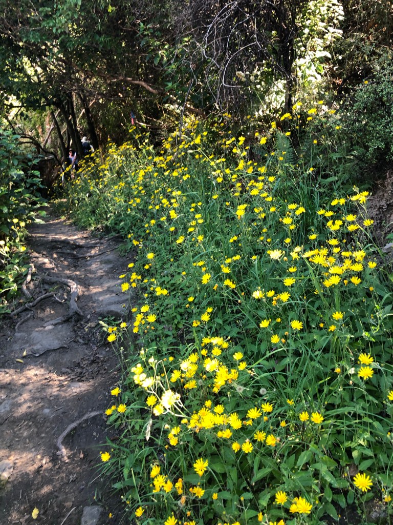
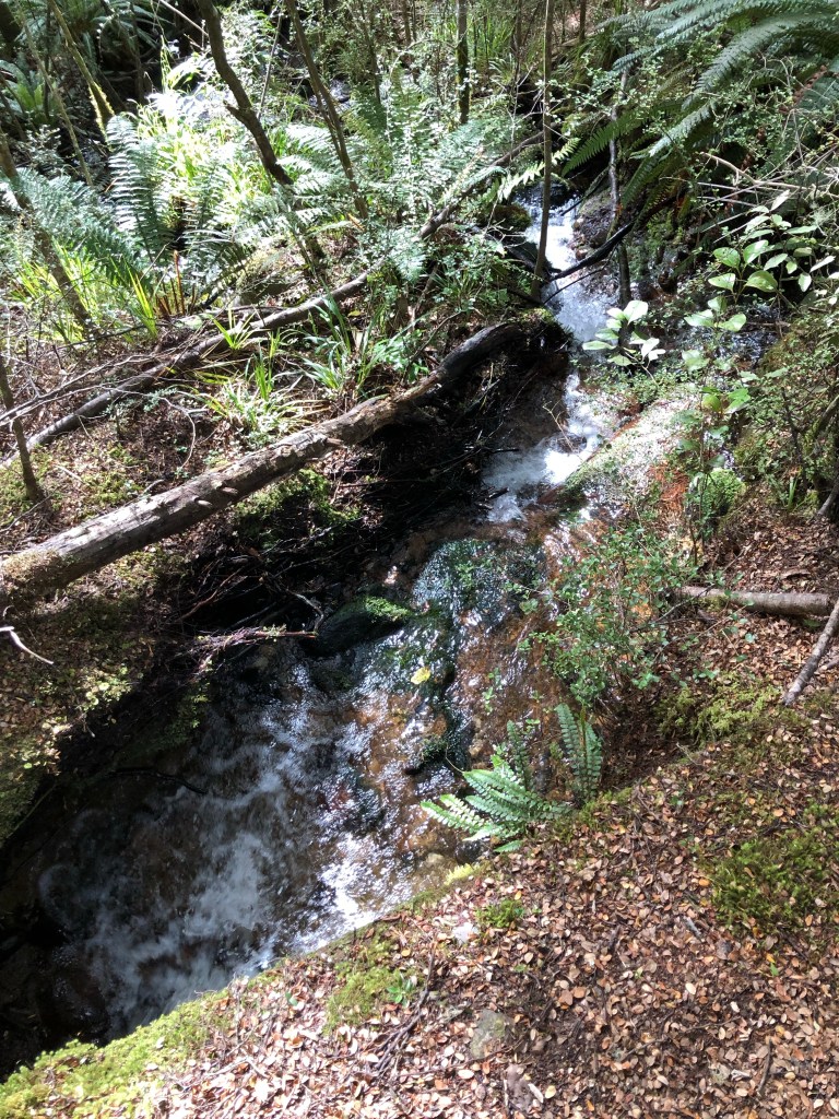
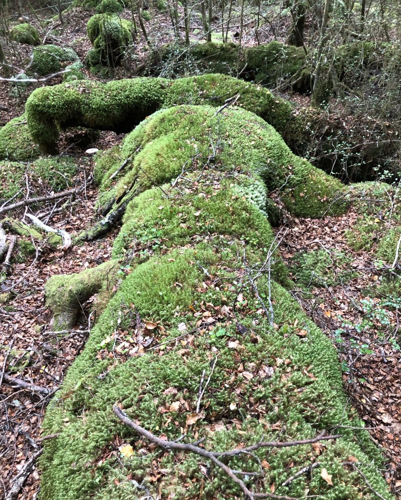
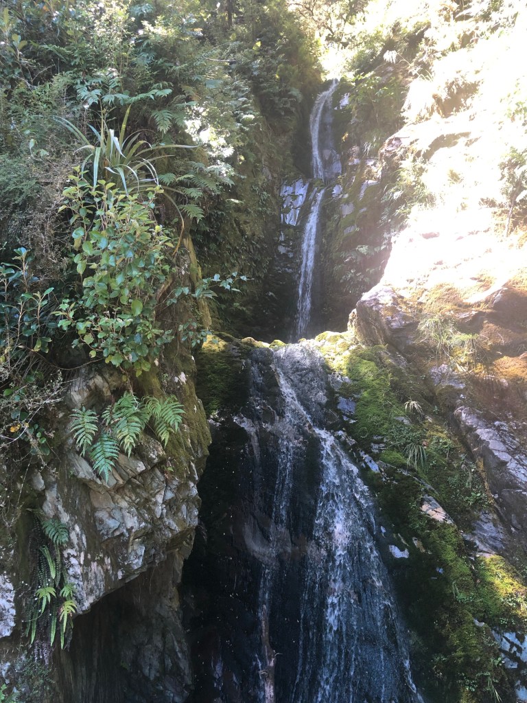
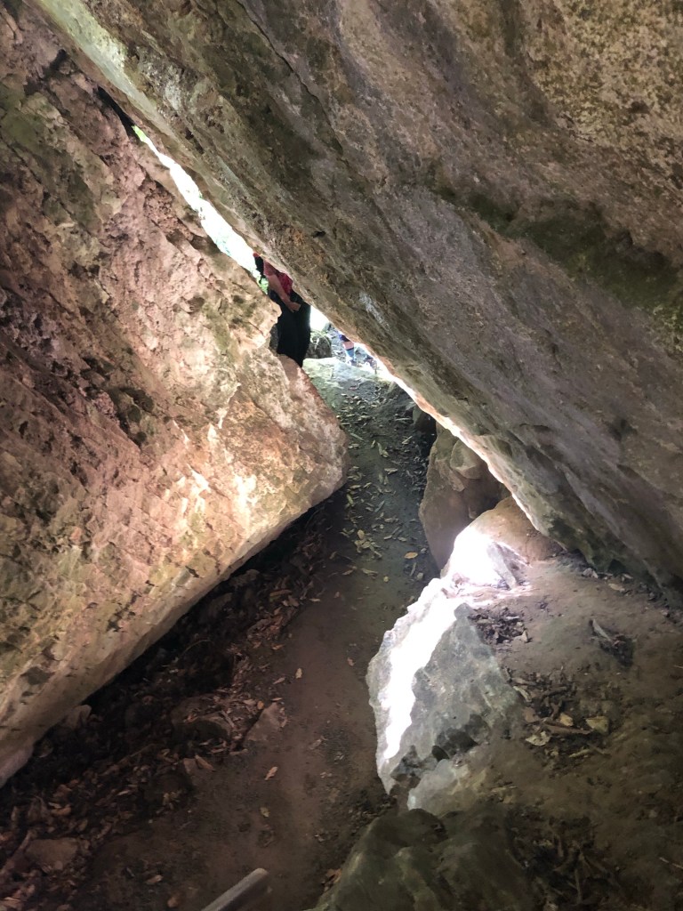
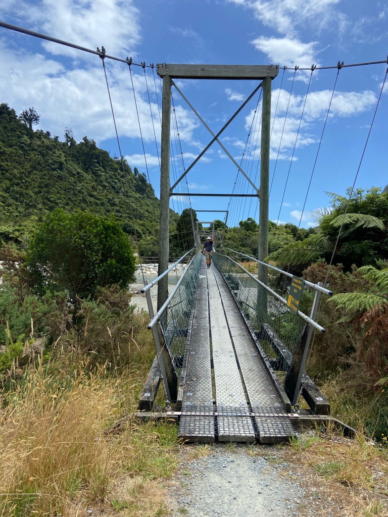
The trail did have some neat features along the way.

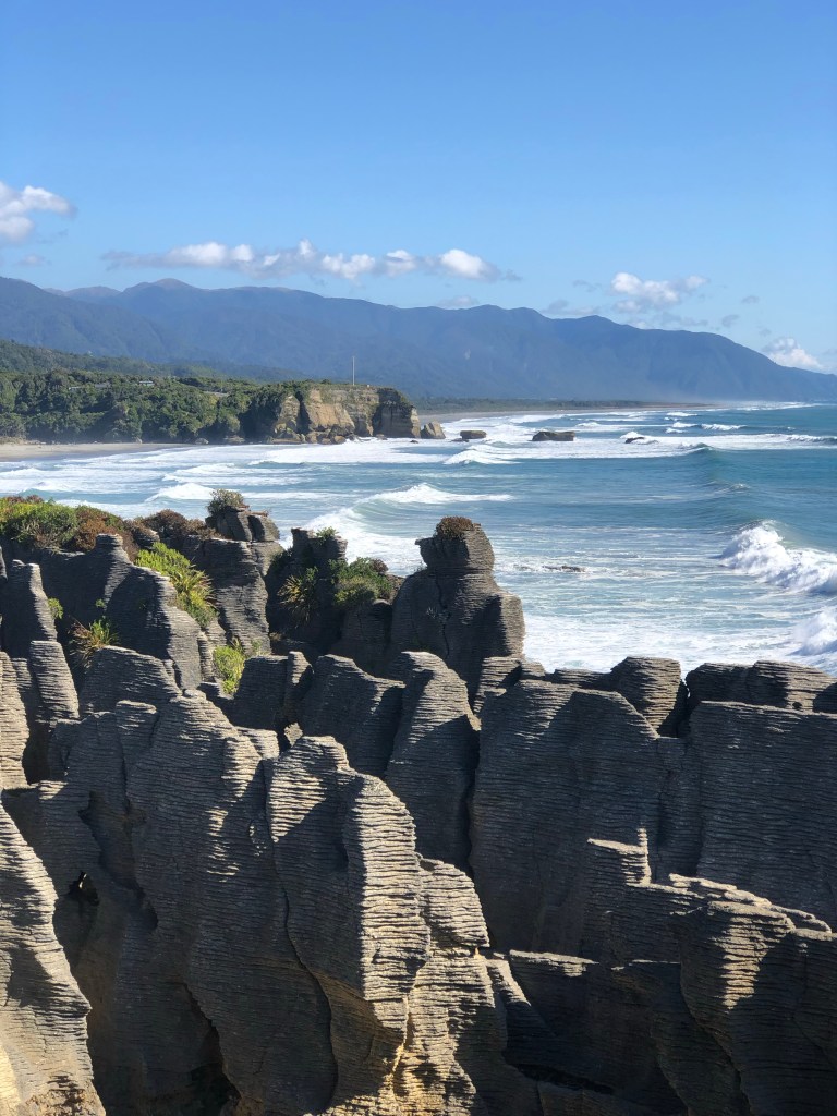
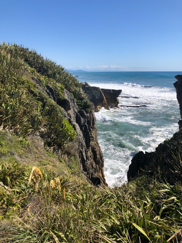
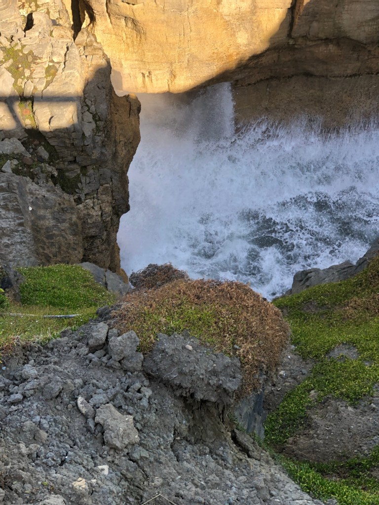
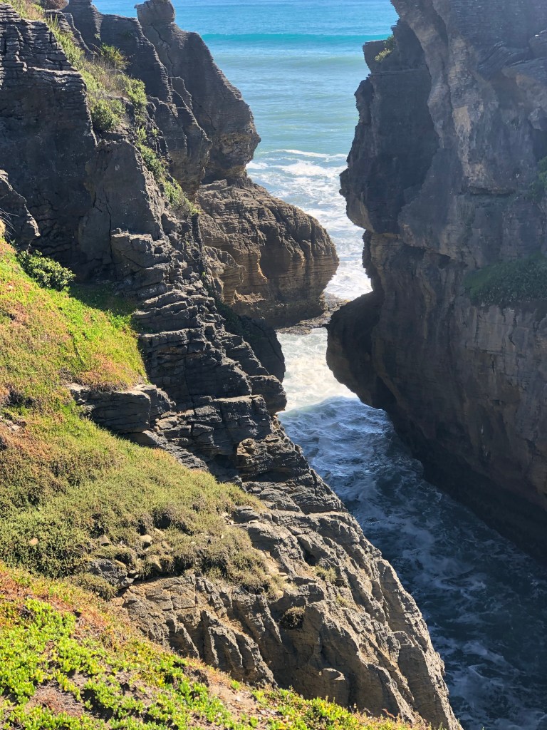
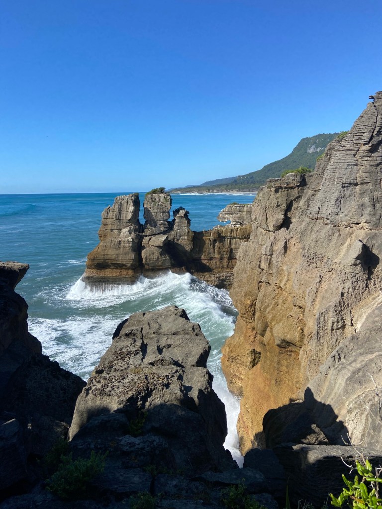
Before checking in to the hotel we visited the primary tourist attraction called the Pancake Rocks. These rock forms are slowly being eroded by the sea but for now, they provide wonderful viewing of the power of the water.

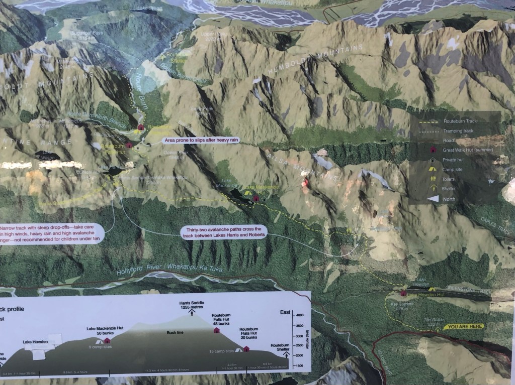
After yet another great dinner we had to start packing our 60L backpacks for the final swan song of the hikes. We’re heading into the mountains for three days and have to carry everything including food, sleeping packs, clothes for all possible weather conditions and a couple of tents in case the hikers huts are oversubscribed. We’ve been given a list and while limited to essentials, the pack still weighs a ton. Memories of Peruvian sherpas come to mind as we will be walking in the mountains for 6-9 hours per day. This may well be the end of us. With no electricity, running water or anything, our communications will go dark until late Saturday, NZ time. Wish us luck.

Tuesday, January 17/23 – Kayaking (& Hiking)

Despite the supreme effort everyone put in yesterday on the mountain we had to answer the bell at 6:30 a.m. to be ready for transport to the site of our kayak adventure. The early start was based on tides and weather.

A former Active Adventures guide has a kayak business just outside Franz Joseph that uses the very large Okarito lagoon which is across a narrow sand bar from the sea. A channel provides access to the changing tide so we benefited from catching the rising water.

After a quick on shore lesson it was onto the water.

Okarito Lagoon with Southern Alps

The weather was extraordinary. Virtually no breeze, sunny and warm. Our guide couldn’t believe the conditions we enjoyed. Bird life in the shallow waters included the brown Godwit which is worth mentioning because of its migration route. These small birds fly nonstop from Alaska to NZ over a period of 8 – 10 days, the longest nonstop passage of any bird, anywhere. Herons were beautiful both stationary and in flight.

The shallow depth of the crystal clear water meant changing colours which only added to the beauty.

After two hours paddling it was time to head back. Our guide, Baz, was a wealth of knowledge and story telling which added to the outing.

After changing wardrobes it was back onto a nearby hiking trail to climb to a lookout above the lagoon. It started with an extensive footbridge across a marsh before heading up into the forest.

We learned the NZ definition of undulating, when describing a hiking track, is “contains steep sections”. Fortunately this undulating trail was wide and groomed and had plenty of flat sections.

The steepness was offset further by it being a relatively short hike of only a few kilometers. It was, however, hard work as evidenced by our appearance at the top.

Hot but happy

And, per usual, the view looking back down at the lagoon made us forget our discomfort.

Looking down to Okarito Lagoon

Our route back included swinging out to the sea and enjoying a walk along the sand/rocks. What a beach!

Back to the town of Franz Joseph to our accommodation at the Rainforest Retreat, a unique collection of buildings spread out over a fairly sizable campus. Unfortunately the absolute epicenter of the major tectonic plates intersection is about a block away and we learned the probability of a major quake happening in this area is rather high. Still, given the choice, this is an amazing place to visit.

Monday, January 16/23 – Franz Joseph Glacier

The start of our second week and it begins with a hike up towards the Franz Joseph glacier on the island’s west coast. That meant going up and over the alps through the Haast pass, the most southern and lowest crossing from the east side of the mountains.

Makarora to Franz Joseph

Knock on wood that our string of hot dry days continued which was even more surprising given we were heading into an area that receives unimaginable amounts of rain annually (averages 145” per year versus 33” in Toronto). That’s means lots of rivers running westward. Fun fact: there are 26 single lane bridges between Makarora and Franz Joseph which means a lot of cooperation between drivers traveling in opposite directions.

Crossing one of the 26 bridges .

Once we reached the coast we stopped for lunch on the beach to watch the Tasman Sea roll ashore.

Our hike up the south side of the canyon near the glacier promised to be a huge challenge given the terrain, distance and grade. The goal was to get as high as possible up the mountain in 3 hours to maximize the view of the glacier. The track was called the Alex Knob and I’m not sure if that was his name or what hikers thought of him after attempting the hike.

Like many of our outings this one started in a gentle manner on a well groomed track. Little did we know we had a 3.5 km (2.2 mile) walk just to get to the trailhead.

Starting out on the way to the actual trailhead

Then things got nasty. There was lots of quirky steep areas, rock to rock strides and balancing on roots.

Upward, ever upward

There were sections where you had to use your imagination as the trail abruptly seemed to end with a small wall of rocks and tree roots.

There were some easier spots as well with creative trail making given the massive trees across the track.

Eventually we were able to glimpse the glacier, which was still many kilometers away up the valley.

Our first view of the glacier

The higher we climbed, the more we could see.

And higher still. We had reached the allotted climbing time so this was where we had to turn back.

Time to reflect and appreciate the wonders of nature and the effort expended to get to this point. It really is magical.

One never hikes alone. There’s this small voice that tags along reminding you that every step up means another step on the descent. And who knew one’s shins had muscles? They joined the knees, quads, calfs chorus in loudly protesting the climb down.

Downward ever downward

We achieved a 6,450 ft elevation change (1/2 up, 1/2 down). The steepness meant a much slower pace so heartbeat rates were a bit lower at 138 albeit for three hours. And despite the lengthy walk back out from the trail head that extended our day in hiking boots to over six hours I’m giving Alex the benefit of the doubt that indeed that was his last name given how fantastic the overall experience was.

Sunday, January 15/23 – Stick & Carrot

We said goodbye to Queenstown and started northwest to Wanaka for a morning hike before heading into the southern alps on our way to the west coast. The stick was a challenging hike up Rocky Mountain in the Diamond Lake region. The carrot was a bit of beach time in Wanaka plus a wine tasting at a local vineyard. The days’ end would be in Makarora, a three building blip in the mountains.

Queenstown to Wanaka to Makarora

Our run of fantastic weather continues with temps in the mid 20’sC (73F) and the bluest of blue skies. The road out of Queenstown was ridiculously steep with the van never getting out of 2nd gear. Finally we crested the hills and started toward the Cardrona valley.

Valley to Cardrona

Just outside Wanaka, which is situated on the huge and beautiful Lake Wanaka, is the Diamond Lake conservation area and the Rocky Mountain track. Our goal was to reach the summit lookout at the top of the yellow trail map below.

As you can see there are serious ridge lines that gave the impression we would be mountaineering versus hiking. The route involved climbing up to the left of Diamond lake, continuing up the left ridge lines and eventually reaching the top. Our return was the right side of the track until they came together just above the lake. The path was very narrow and in thick foliage. The ridge lines were steep and challenging. In some spots it was an 18” wide track and the abyss to your left/right.

Thick foliage hides the trail

There were points where we scrambled up on hands and knees.

All hands and knees on deck

And there some points we just had to go around.

Heart rates in the 150+ range for over an hour and breathing frequency that was off most charts meant slow going. Who needs a gym?! Finally we broke through above a ridge line and emerged into a large meadow.

The foliage threatened to overwhelm at times

Finally we emerged at the top and yet again, the physical challenge gave way to a picture postcard view down to the various bays of Lake Wanaka.

Lake Wanaka with a dry riverbed on the left

The walk down was equally difficult but provided some colourful images including a look down on Diamond Lake.

Back on the bus and into town for a brief wander and a photo op by the “world famous tree growing out of the lake”.

“The tree” Lake Wanaka

Just out of town is the boutique winery Maude. It specializes in a couple of white wines but pinot noir is its specialty. We had six tastings in total, 3 whites and 3 pinot noir. Nice but not the style of wine we’ve become accustomed to.

Back in the bus again for the final leg to Makarora for the night. Blink and you miss it as the lodge we stayed in was basically the entire community. Neat A-frame huts were our rooms although given the fatigue level we would have slept anywhere. And to boot there was a brilliant sunset.

Tomorrow is a killer hike up beside the Fraz Joseph glacier. Ouch already.

Saturday, January 14/23 – Queenstown – Bungee

Today was a day of rest from the hiking tour but just so happened to occur in Queenstown, the adventure capital of NZ. There’s numerous activities one can choose: jet boats, mountain biking, zip lining, luge from the terminal at the top of the gondola and so on. One sport stands out, however, given it was invented, as a commercial going concern, by two NZ’ers in 1986. Bungee jumping off the Kawarau bridge outside Queenstown has become world renown. So of course we signed up.

We spent a portion of the morning wandering along the harbour enjoying the weekly craft fair trying not to spend too much time thinking about the jump. Would we? Could we? Heck it’s only 145 feet off a bridge over a river in a canyon. What possibly could go wrong?

Queenstown Saturday craft fair

The bridge is 25 minutes out of town so having been weighed, identified with markings on our hands (body recovery purposes?) and signing various waivers at the office in town it was onto yet another bus. The bus drivers’ warped sense of humour was evident as he played “Another Bites The Dust” over the PA.

The operation at the bridge was a well oiled machine and in no time we were front and center being told to empty our pockets and sit calmly while the harness and ankle wrapping was very, very firmly attached. The call to the jumping ledge was made and any thoughts of turning back had to be banished. Given the ankle harness one has to shuffle to the edge. Rock music blaring (to muffle potential screaming?) and young jump assistants casually moving around without a care added to the surreal atmosphere. Then it was arms up to effect a swan dive, 3, 2, 1 GOOOOOO. And shockingly, we did! Mo and Mark were joined by Liz Monson, one of the tour members, as we each completed perhaps the biggest leap of faith ever.

Mo’s pre leap wave

Once the bouncing stopped a small boat arrived to pull the jumper to safety. Can you see the relief in Mo’s face?

I’m Alive!!!!
Liz Monson in flight
Liz showing perfect form

It was heart-stopping, exhausting, exhilarating, and reflectively, well worth it. As they say, been there, done that, got the tee shirt.

We finished our day of rest by taking the Gondola up above Queenstown where Mo and Liz raced small carts down the luge run multiple times. The view over the town and lake was beautiful as our run of hot sunny days continues.

Tomorrow it’s back to work as we’re off to Wanaka to hike the Rocky Mountain track with the reward of a winery visit later in the afternoon.

Friday, January 13/23 – Milford Sound & More

A long time travel bucket list item was checked today as we cruised on Milford Sound in Fiordland national park. As there is virtually only the marina at the end of the single road in, one must drive in from Te Anau, about two hours away. Even the trip to the sound was special.

We had to pass through the 1.3 km Homer tunnel which is a one lane, very rough cut through the mountains. Completed in 1953, it doesn’t appear anything has changed.

Homer Tunnel Milford Sound Road

Finally at the terminus it was a relief to see relatively few people waiting. We were the first sailing of the morning which proved fortuitous as we had the top deck outside space basically to ourselves. Prepared for crisp weather it was layers on, hats and gloves at the ready. Given the steepness of the canyon walls, the sun didn’t penetrate the entire sound at first.

Milford Sound

Breathtaking (has that word be overused?) views in every direction.

We traveled nearly 15 Kms and made an about turn near the point where the sound becomes the Tasman Sea.

Next stop Australia

On the journey back the clouds rolled in briefly which only enhanced the view.

When we returned to the terminal it was very crowded as numerous boats were set to depart. Perfect timing for our departure back down the valley to visit the Te Anau bird sanctuary.

The list of NZ birds distinct to the islands is extensive and the small sanctuary has at least one major feather in its cap (sorry) by playing an important role in the growth of the Takahe population. This flightless bird was thought to be extinct but it’s numbers have been modestly revived thanks, in part, to the sanctuary.

Takahe (Ta-ka-he)

A variety of other birds were on display but proved to be camera shy. A quick, late picnic lunch and it was back on the bus and off to Queenstown.

Queenstown is described as the adventure capital of NZ. It’s a relatively small community (~12,000) but the population explodes with tourists in both winter and summer. It’s like a small village with everything packed into a central area offering numerous bar, restaurant and retail shops. The place is hopping.

Our introduction was a wander down by the lake, through the crowded outdoor bar scene stopping to enjoy ice cream (world class). Tomorrow is a free day from the tour so, being of sound mind and body, we signed up to go BUNGEE JUMPING at the site of the sports originator off a 43m (145 foot) bridge. Hopefully we’ll be back to continue the blog thereafter. There will be online video regardless. Fingers crossed.

Thursday, January 12/23 – Two Hikes: Kepler and Routeburn Tracks

Our morning hike took place on the Kepler track along the Waiau River connecting Lake Manapouri and Lake Te Anau. An incredibly well maintained track through a mature beech forest was just the tonic we needed.

Waiau River hike

It was hiking at it it’s gentle finest. A soft underbrush path with very little grade change meant no poles and a chance to look up and around for just under three hours.

Kepler Track

Unfortunately, however, even the slightest descent brought a sharp and immediate reminder from both quads and calfs of the abuse they had endured over the past 48 hours. It would be embarrassing except all members of the tour (and most are avid hikers, cyclists, outdoors lifestyle keeners) are suffering to some degree.

Notwithstanding the intermittent grimace, the setting provided an incredibly tranquil morning allowing for reflection and contemplation of life’s what ifs. The silence was powerful and only interrupted when the track came close to the river where the water alternated between languid and frothy, noisy rapids.

The ground cover added to the mystic as ferns abounded and moss grew on fallen trees giving them animal like shapes.

We finished the hike with a picnic lunch overlooking the river. A great morning indeed.

Then it was back into the van for a 60 minute drive up the highway towards Milford Sound. The Routeburn track was certainly not a repeat of the mornings effort.

Base to Key Summit

Another one of those “looks basic on the map” but then has just enough bite to grab your attention. At least the trail builders had the kindness to create numerous switchbacks to lessen the incline. Upward, ever upward we went on a rocky track that had a few challenging moments.

Early on the Routeburn Track

It did get harder

There were distractions along the way.

But finally at the top the discomfort went away and a special vista spread out before us.

What goes up must come down so the tired, sore legs were really put to the test going downhill. We did get a small respite by taking an alternate route across a wet area but then it was down, down ,down.

Back at the van it was agreed it had been a great day. Nearly 6 1/2 hours of hiking in glorious weather, a great balance between the two trails and wonderful sights along the way.

Tomorrow it’s off to Milford Sound to catch the boat that will take us out to the Tasman Ocean and back.

Wednesday, January 11/23 – Lake Pukaki Cycling & Travel to Te Anau

A day of two halves. We gingerly hobbled onto the bus still feeling the effects of yesterday’s hike. The morning segment consisted of a bike ride along the shore of lake Pukaki to Twizel covering 24 Kms on an undulating track.

We started at the 13 km mark & rode to Twizel

Although the route is called alps to ocean this segment was neither. The bikes were top class with great suspension and one finger gear leavers. Only issue was ‘down here’, the back wheel brake lever is on the left. That required some quick thinking at times.

The lake was spectacular and the flowers were in full bloom.

As much as yesterday was about tender knees today quickly became about quaking quads. Nothing like a few hours in the saddle to make your legs turn to jelly. Stairs and getting back on the bus are proving to be major challenges. The group groaning and occasional shuffling is quite comical. But back on the bus we clambered and headed off to Te Anau.

Te Anau is the jumping off point to the Fiordland national park, NZ’s largest, and the site of many great hiking trails plus Milford Sound. We stopped in Cornwall for a late lunch as the topography and weather changed dramatically. Barren hills, low clouds and wind made us thankful we’d done our bike ride earlier.

The drive took us of Linda’s Pass with its incredibly narrow twisting road (glad I wasn’t driving the van) and past Lake Dunstan. Then it was out into the wide valleys again and into the Mossman region, home of the largest deer farms in the country. Of course along the way we saw a million sheep.

A storm rolls in near Queenstown

We passed many vineyards and wineries as this area is famous for its pinot noir but our schedule didn’t permit a tour and tasting.

Finally into Te Anua and it’s bustling tourist filled center. An Epson salt bath helped ease the aching muscles at least temporarily. After a great group dinner we got tomorrow’s briefing – two hikes totaling 20 Kms up in the mountains. Onward!

January 10/23 – Sealy Tarns Hike

Be careful what you wish for. Our first hike appeared to be a rather benign effort part way up Sealy Mountain which is across the valley from Mount Cook. Little did we know. We (shamefully) took the van from Aoraki Mount Cook village to the White Horse Hill campground (10 minutes). Then it was backpacks on and we’re off.

Day 1 – Aoraki Mount Cook Village to Sealy Tarns (tarns = small alpine lake)

Ah…. it was not benign. Nearly five hours, too many thousand steps to count, throbbing knees but a great sense of satisfaction later we returned to base camp. Who knew they could cut a track up a mountain sloped at 30-40 degrees. And not a traversing route but rather, straight up! The trail encompassed thousands of steps cut into the mountain supported by wooden and stone risers. It would have been impossible otherwise.

Mo starts up the first pitch of Sealy Mountain
Another hiker leads the way
The wood risers made the climb possible

Our goal was a mid station called Sealy Tarns. Much further on was the Mueller hut for the uber serious (far beyond our skills and equipment). Although the primary view was of one’s shoe tops every rest or water break afforded spectacular vistas.

Beautiful
Lake Mueller

The hike down was challenging but we made it. The last 3 Kms on the Kea Point track back to the village was through meadows full of song birds and flowers. Priceless.

Tomorrow we test our cycling skills in an alps to ocean ride. Double yikes.

Monday, January 9/23 – Christchurch to Mount Cook

Kia Oro or welcome. Our tour of the South Island took a bit of a twist today as we met our travel mates and guides. We were designated the south bound group meaning our route would be clockwise round the island. Initially we were to head north but the other segment of the tour group went that way. We are 14 travellers (5 Canadians & 7 Americans) plus two young female guides, Nicola and Broghan. We’re in a 18 person van pulling a luggage trailer so there’s sufficient room and relative comfort. That’s important because today was a van day and no hiking. From Christchurch we traversed the Canterbury plains through the foothills and into the Mackenzie basin on our way to Mount Cook in the southern alps.

The Canterbury plains is dominated by cattle ranches which are expanding annually at the expense of sheep farming due to economics. There were still, however, thousands of sheep along the way. The vista was fairly brown and barren and stretched endlessly in all directions.

Turning off the main highway towards the foothills meant a slight change of scenery, more greenery (and many more sheep).

Canterbury foothills

Deeper into the Mackenzie basin we came upon Lake Tekapo which was a wonderful combination of colours framed by the southern alps in the distance.

We then turn onto the solitary road leading to the Mount Cook national park. It ran alongside Lake Pukaki which also displayed various greens and teal sections. These lakes form the basis of a major hydroelectric system providing electricity to a significant portion of the southern part of the South Island.

Lake Pukaki with Mount Cook

Climbing up the valley brought us closer to Mount Cook, the tallest peak in NZ (12,218 feet). And finally we arrived at our destination, literally a stones throw from the mountain. Breathtaking.

Mount Cook
View from our lodge as the sun sets

Tomorrow we hike! Yikes.