Dingle Peninsula

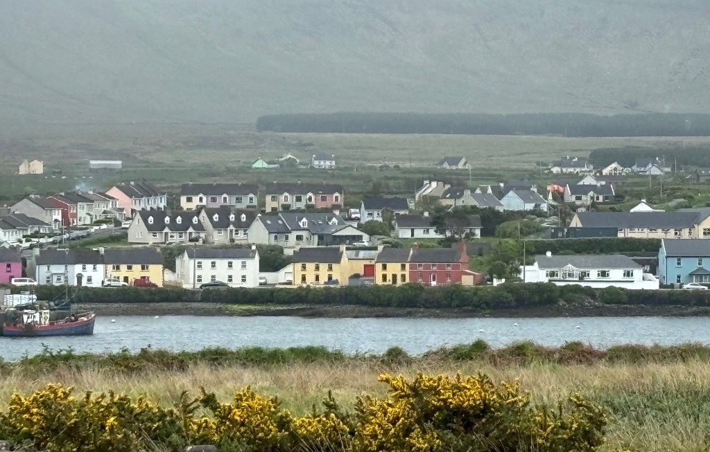
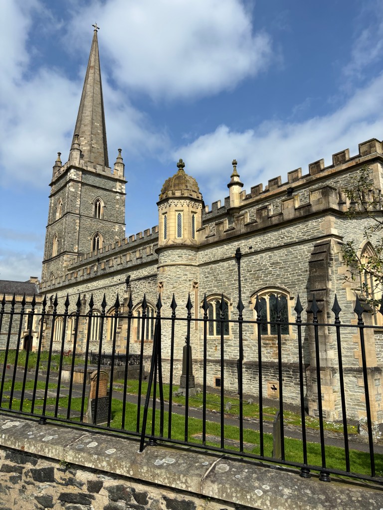
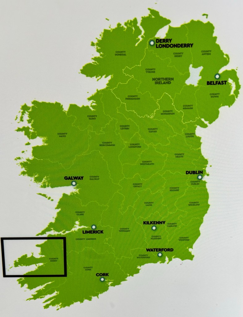
The promontory north of the Kerry Ring is the Dingle peninsula. Not as famous as its southern neighbour it still offers compelling sights and history lessons combined with its namesake hopping tourist town.

Dingle Peninsula

The formal name is Slea Head Drive and like the ring it is strongly suggested one drives in a clockwise direction to limit encounters with other idiots errr, tourist cars and buses.

We set off in a very heavy rain storm with Peter at the wheel despite it being his birthday. We learned another aspect of the Irish road system. The “N” has been previously described. Below that is the “R” series which generously includes, most of the time, a painted centre line albeit with an inconsistent road width for two cars. Today it was welcome to the next level down, the “L”, which is lineless, one point something cars wide and challenging. We endured a short L spell just to get onto the peninsula and thought, whew, that’s done. Little did we know!

No matter the weather it’s beach time

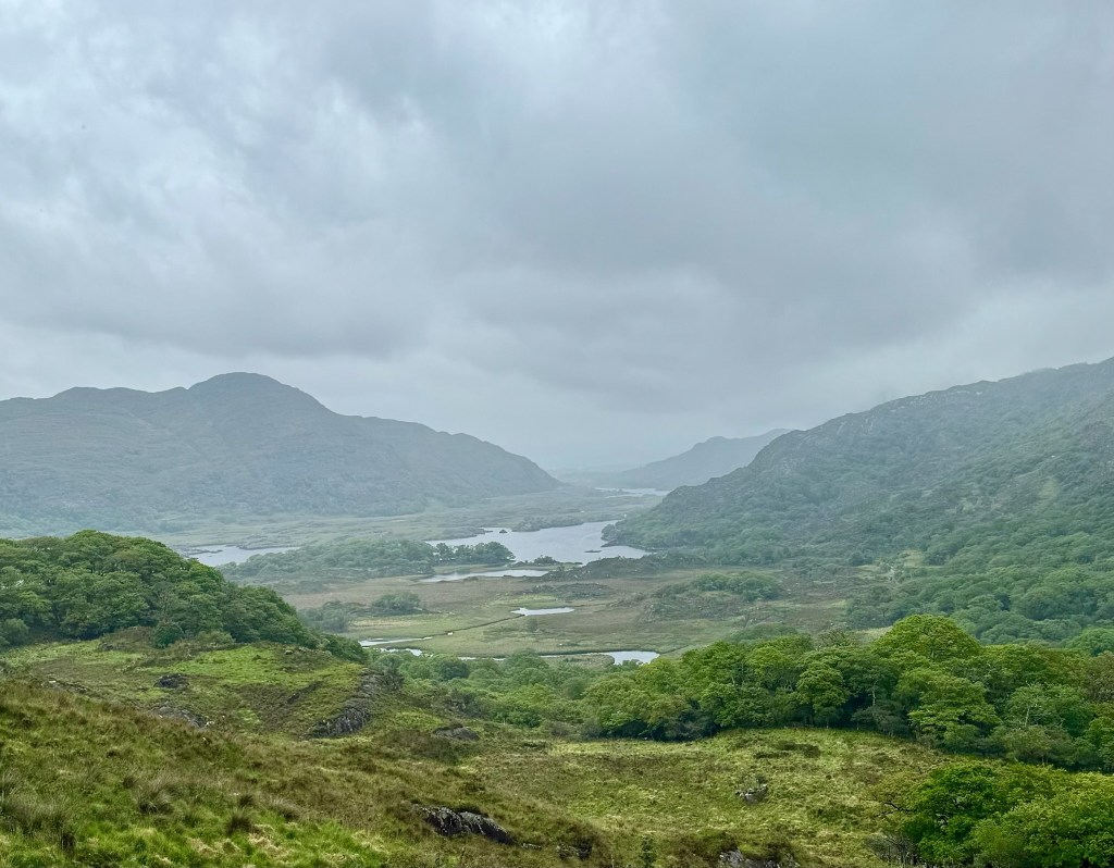
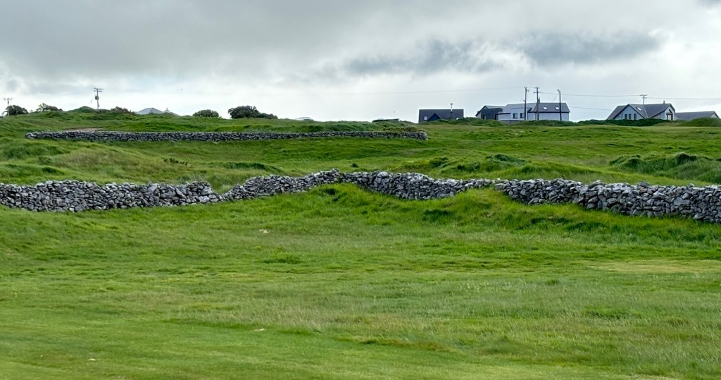
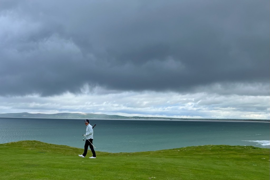
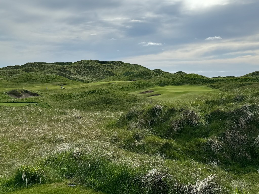
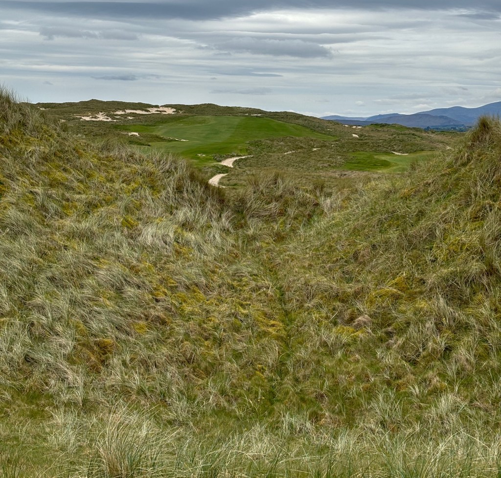
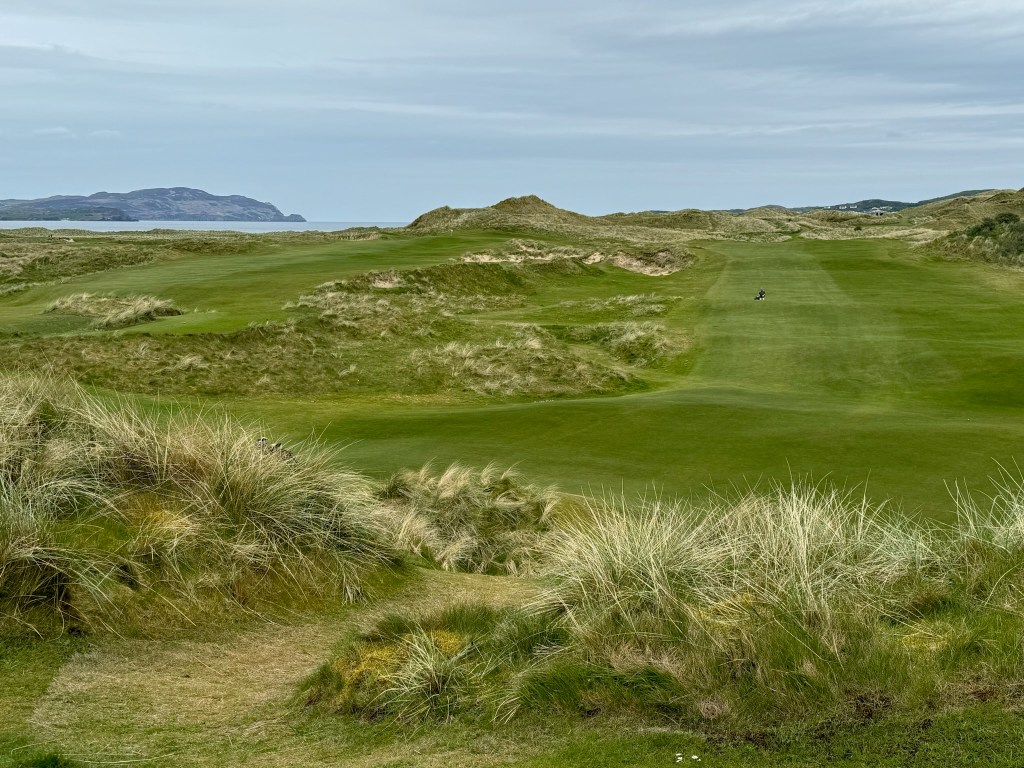
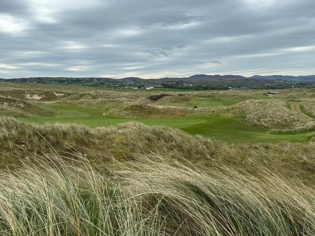
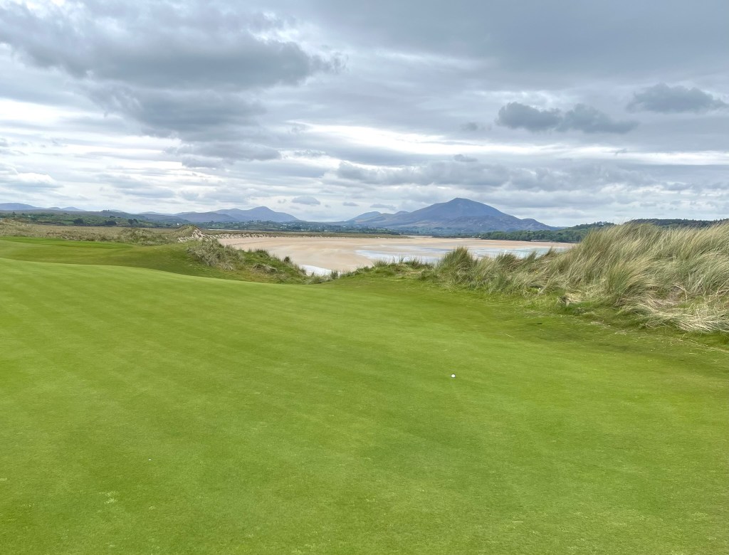
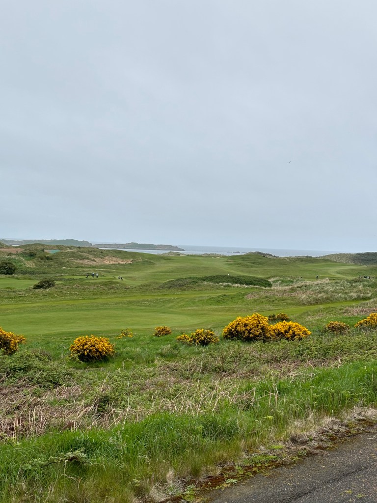
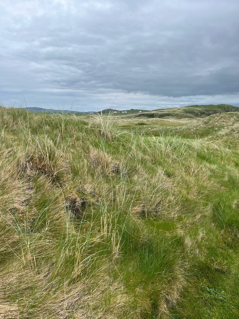
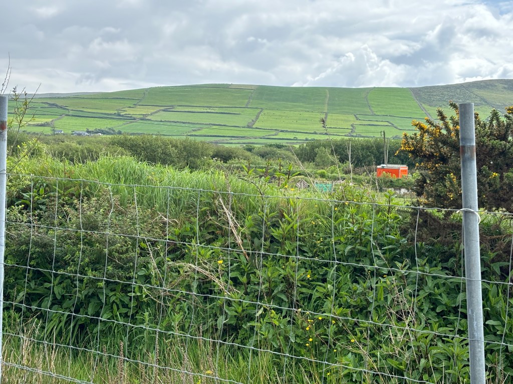
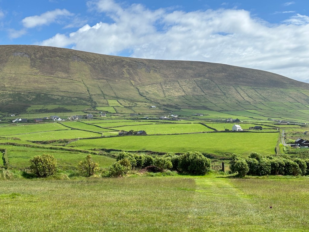
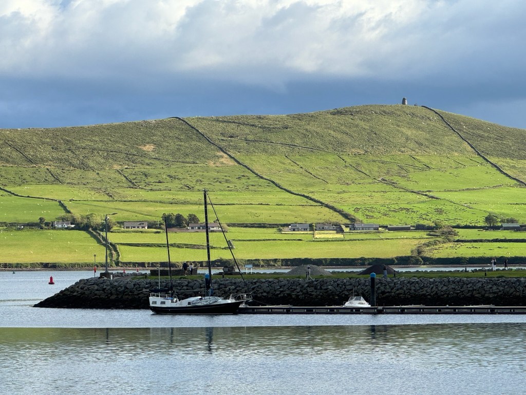
The weather alternated between rain and sunshine which only emphasized the incredible pallet of different greens on the hills and valleys.

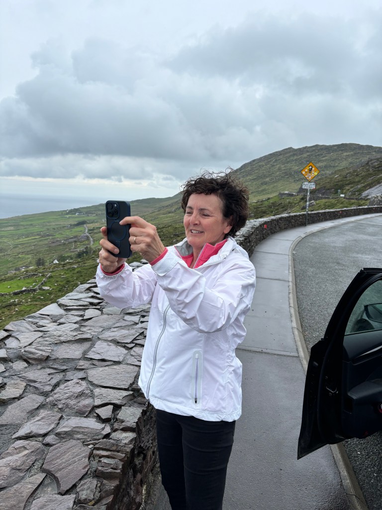
With the changing conditions it meant quick photo stops and then back into the car.

Past the town of Dingle, which is the start and terminus of the Slea Head Drive, the roads became more narrow as we went. Imagine nearly losing the outside mirror on the right to a rock cliff while a small stone wall on the left is the only barrier between you and the north Atlantic. Add in an intentional fording of a small stream running down the mountain just because.

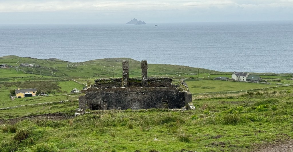
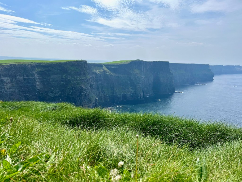
We stopped at the Blasket Island information centre to learn about this cluster of small islands three miles off the coast. It is difficult to imagine the challenges and hardship of living in such a place but generations did so until 1953 when the last of the villagers left. A short film captured how these rugged individuals found joy through song and storytelling while dealing with the ravages of the sea and weather.

A commemorative statue at the Center captures this in part.

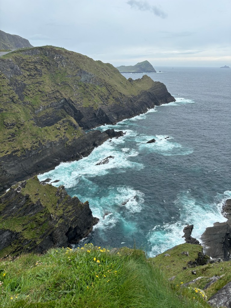
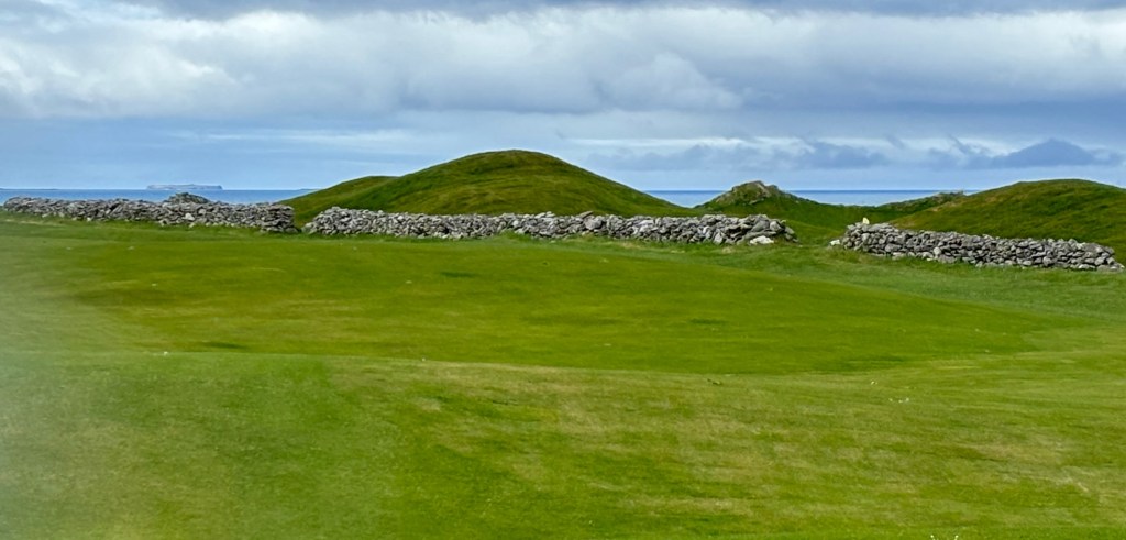
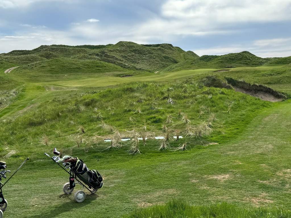
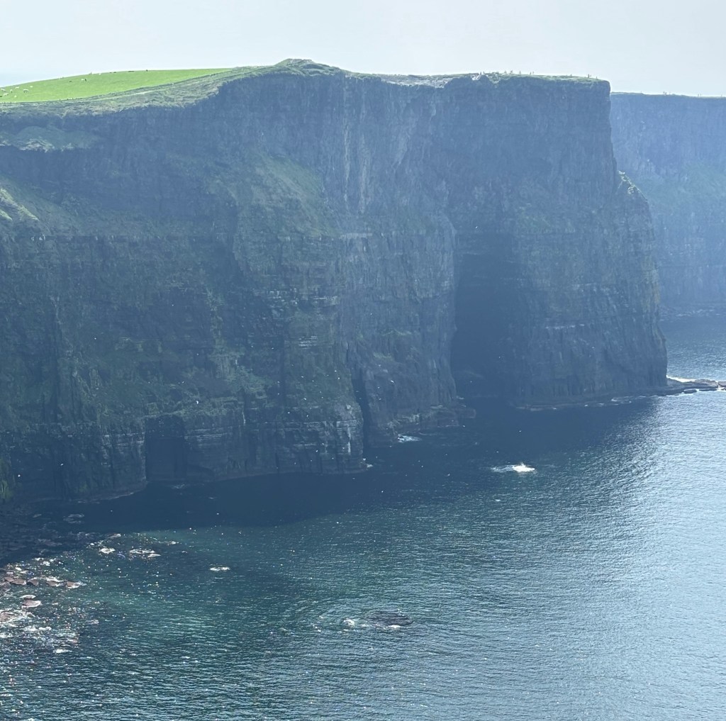
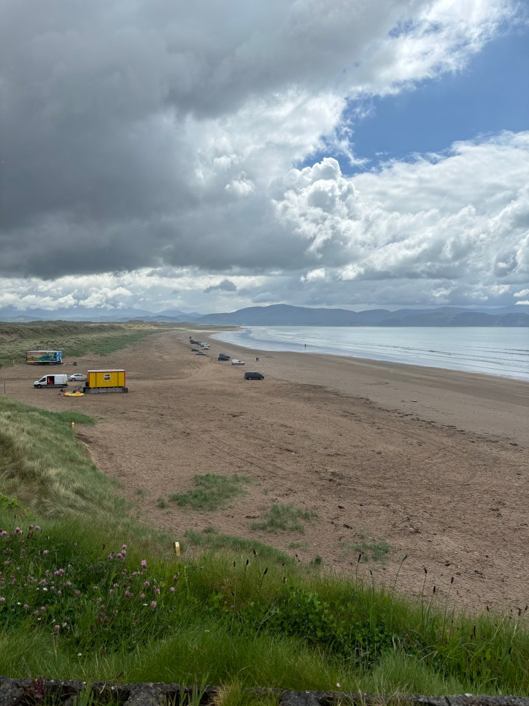
The drive continued and as the sun broke through some incredible views emerged.

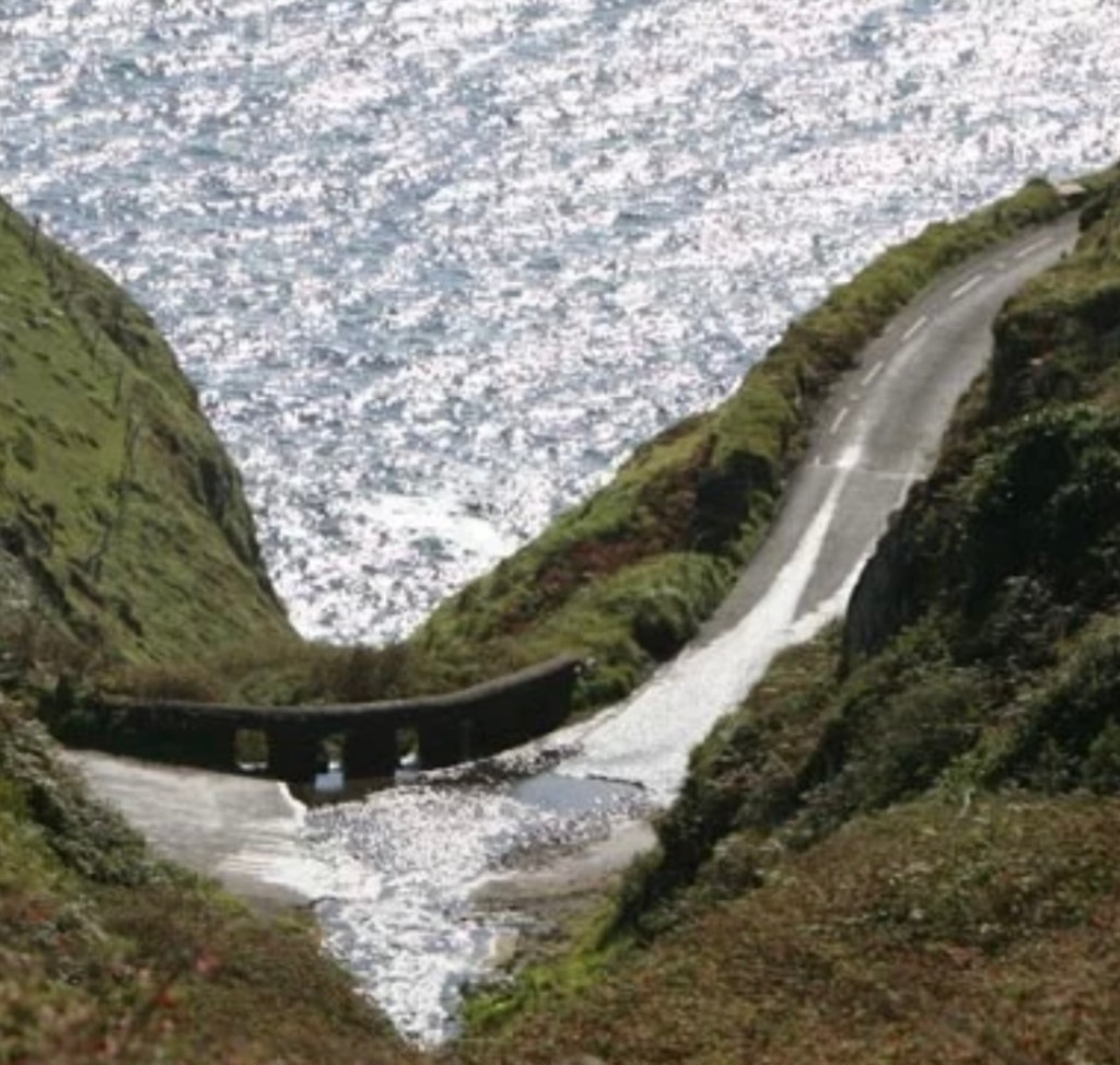
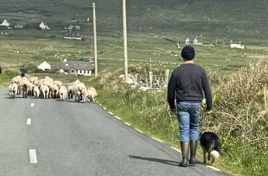
Our the way back to Dingle was delayed by another unique road hazard.

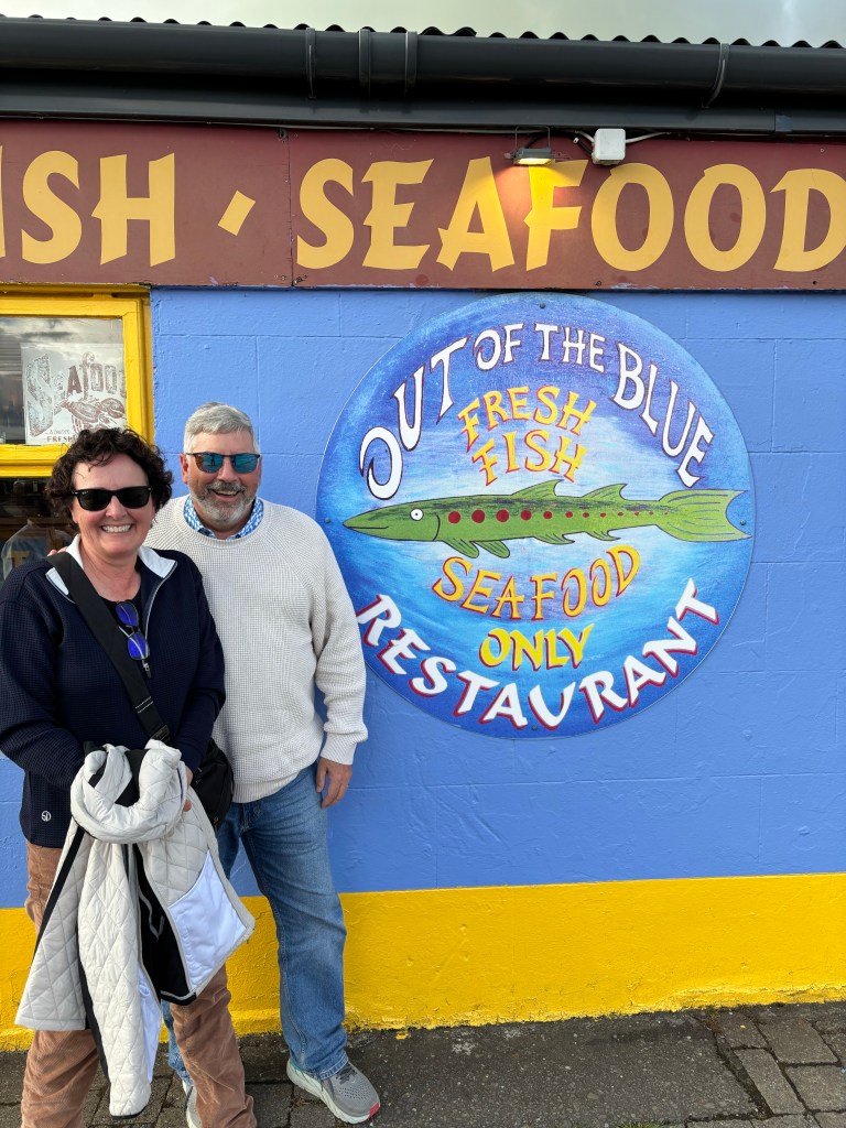
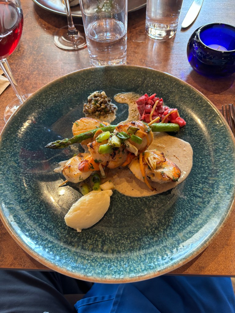
We celebrated Peter’s birthday in Dingle with a most amazing dinner. The building exterior would give you pause but inside is a Michelin rated restaurant that is outstanding.

I wouldn’t normally post pictures of food but it was that good.

A fun day capped off by a great meal. Tomorrow the long drive back down to Waterville GC at the tip of the Ring of Kerry. Fingers crossed given the weather forecast.

Ring Of Kerry

Our first of two consecutive Pit Days (I know, what were we thinking) had us driving a full loop of the Ring of Kerry plus the less traveled Skellig Ring at the very west end of the Iveragh Peninsula. Sadly the weather didn’t cooperate and we experienced a rainy, cloudy, grey day which detracted somewhat from the natural beauty of the area.

Ring Of Kerry
Oh so Irish

We knew in advance that the large touring coaches must travel counterclockwise hence our route was the opposite. Thus you go through Killarney National Park to get to the true start point at Kenmare. It’s 135 miles (217 Kms) to do the loop plus we tacked on another couple of hours on the Skellig Ring.

The map labels the Ring an “N” level road which normally means a modestly wide, two lane affair, minus, of course, any shoulders. With Peter at the wheel we would beg to differ as it was anything but normal. Lots of twists, blind corners and sections where there was a lot of collective breath holding.

With the rain, wind and clouds our photo ops were limited at first so we did the next best thing.

The land is rugged and rocky. Rock walls and abandoned stone buildings abound and one can only imagine the labour it took to create them.

Without the sunshine it’s a cold bleak landscape in places.

In the mist you can see Skellig Michael which was home to monastery beginning in the 6th century. Little Skellig appears beside it. The monks lived in bee hive style rock dwellings and somehow survived as an order on the island for more than 500 years.

Replica of a bee hive “house” on the mainland

Then it was on to the Sellig Ring which is the very western tip of the peninsula. No bus allowed! Still the one lane road meant pulling off into tiny spaces in the hedge or backing up to let a car come past. Peter was a pro.

The Kerry Cliffs were spectacular. We climbed to the highest point to get the best views.

A bit close to the edge!

Back in the car for the harrowing journey (nearly exchanged outside mirrors with one oncoming car) through Portmagee and onto the “big” ring and home to Killarney.

Portmagee, County Kerry

Dinner in an Irish pub and a whiskey tasting thereafter. Mind boggling choices from 1,600 different bottles.

Touring the Dingle Peninsula tomorrow including a big dinner celebration for Peter’s birthday.

Tralee

Our smiling Irish weather eyes came to a crashing end overnight as rain and wind lashed our new digs in Killarney where we had arrived after a 2 1/2 hour drive from Lahinch. Ominous forecasts in the morning had us very concerned golf at Tralee would be a non starter. But……our luck of the Irish came through and we faced nary a drop despite the presence of storms all around us.

The original nine hole Tralee GC came into existence in 1896 and 84 years later its members purchased the current site in Barrow, 14 Kms west of the town of Tralee. Arnold Palmer was hired to design a layout that opened in 1984 with the goal of attracting world wide attention. Mission accomplished in spades.

Tralee is also a course of two distinct nines. The front nine incorporates a limited amount of vertical dunes and as such is more windswept and open. And I do mean windswept. We were buffeted by cross winds upward of 25 – 30 mph which meant aiming well left or right of targets with dubious outcomes.

The presence of stone walls added another hazardous element.

Oh and the fairways ended abruptly in either knee high rough or the ocean.

The back nine introduced big dunes which helped temper the wind but meant challenging elevation changes and unique shots.

The hills, chasms, long grasses et al offer such a difference to the style of golf we’ve become so accustomed to “back home”. Here a miss is truly a miss.

The storm that threatened to arrive fortunately held off until we were done but created a unique image of clouds shrouding the clubhouse.

Unlike say, Lahinch which is at the village’s edge, Tralee is very secluded and has a completely different vibe. It was a workout in the wind and the ups and downs. Interestingly the last few kilometers to the club is via a narrow single lane road that the large touring coaches bringing groups of golfers traverse. Not sure how they do it.

Tomorrow is a Pit Day where we plan to explore the Ring of Kerry. If the volume of tourists in Killarney is any indication it will be a busy traffic day. According to the guide book all the coaches travel counterclockwise. We will not!

Lahinch

Created in 1892 on land that was discovered accidentally – they were looking elsewhere for a new “golfing ground” and stumbled across these dunes – Old Tom Morris redesigned the course in 1894. In 1927, Alistair MacKenzie of Augusta National fame (and other great layouts), redid much of the course. And finally, starting in 1999, Martin Hawtree was brought in to restore the MacKenzie traditions that had been undone over decades by zealous member committees. The result is an absolute gem that includes two of Morris’ original holes that have fortunately survived the test of time.

The inclusion of the goat in the logo reflects their presence on the property, a tradition, albeit reduced to only a few, that continues (we didn’t see any).

Our extremely good fortune of enjoying warmish, sunny, minimal wind weather continued. Even our caddies commented how lucky we were.

Lahinch captures all the elements of a links course. Seriously large sand dunes, humpty, bumpy fairways, cavernous bunkers that maddeningly collect shots, firm fescue where the ball rolls and rolls, drop offs around the greens that turn short misses into long chip shots and so on. Best of all it had great, consistent turf throughout.

Unlike other courses we’ve played, Lahinch had a different feel of being surrounded by the town, the ocean and stone wall boundary fence.

Yet again we experienced elevation changes that meant blind tee shots and even a blind par three.

The famous Klondyke hole, a Tom Morris original, requires an approach shot over a hill in the middle of the fairway.

Only the front right corner of this par 3 green can be seen with the rest tucked behind those hills.

We agreed Lahinch was a course we would want to play again, sooner than not. Unfortunately/fortunately that’s not to be on this trip as we’re heading further south in to County Kerry and our home for the next week in Killarney.

Cliffs of Moher

We are slow learners. Google maps presented three options to drive the nearly three hours from Sligo to the Cliffs of Moher. We chose our route based on what appeared to be major roads for much of the way and strong secondary roads to finish. Indeed a good chunk of time was spent zipping along the M18 motorway at 120kph/70mph. Then……the blue line did us again. I think I actually heard the irritating voice assist snicker. We traversed everything from single lane tracks with outside mirrors nearly slapping the hedges on both sides to the “luxury” of laneways one & 1/2 cars wide. I can’t imagine what Irish drivers must think when they travel in North America. Perhaps; “Who knew you could build roads that can accommodate two cars and have space for a shoulder on each side?” Obviously we got our route choice wrong but did finally end up safely, with heart pounding, at the Cliffs despite the cross country trek.

We were fortunate to have another warm day which actually meant a degree of uncertainty as to what to wear given the upcoming hike and ocean winds. Given a slight overcast we started in long sleeves but one layer/short sleeves turned out to be more than enough.

The cliffs run for about 14 km/9 miles. At their southern end they rise 120 metres (390 ft) above the ocean and just near O’Brien’s Tower they reach their maximum height of 214 metres (702 ft).

We climbed to O’Brien’s Tower where we had a picnic lunch on the steps and took pictures looking south towards Hag’s Head, the southern end of the Cliffs.

O’Brien’s Tower – built in 1835
Looking south from the tower

We descended from the tower and started hiking south. The gravel path reflected the Irish road system. Some stretches were four people wide, some you had to squeeze past returning hikers while being careful not to catch on the barb wire or touch the electric wire fence along the adjacent farmer’s field.

Branaunmoresea stack rock 67m tall
Looking north back to the Tower
Looking south to Hag’s Head
Who knew a selfie creates a mirror image with the Cliffs now heading north
The Tower in the distance. Our turnaround spot about 1/2 way to Hag’s Head

The Cliffs are typically the most popular tourist attraction in Ireland with more than 1.3 million visitors last year. We think many of them were there with us given the huge number of touring buses (wonder what road they took!) and jammed car park.

The Cliffs are an incredible sight worthy of its UNESCO status. Four thumbs up.

Tomorrow it’s a short hop from our farm house Airbnb to Lahinch to golf on the #41 course in the world. Already thinking about the roads.

Portstewart

We packed up our Derry digs and headed back to the north coast for one last round in Northern Ireland. Unplanned but extremely fortunate scheduling meant we missed the start of the Northwest 200 by 12 hours. This massive motorcycle racing festival attracts over 120,000 spectators. Held on the roads between Portrush, Portstewart and Colraine the entire area is effectively shutdown. We managed to get in, golf and get out before the roads were closed.

Portstewart is a Willie Park Jr design from 1894 although the club is in the midst of a significant renovation of a number of holes on the back nine.

The course is a tale of two distinct nines. The front nine is played amongst some of the largest dunes and narrowest fairways of any Irish course.

All smiles before teeing off #1
Tee shot on #1 Portstewart – green top right

The ladies faced an equally difficult task and sometimes, things went a little wayward.

The front nine included some serious elevation changes with very little margin for error. A shot coming up 10’ short became a 25 yard pitch.

The back nine is much more open, flatter and less imposing. Recognizing this, the club is making a number of changes to holes 13, 14 and 15 to increase the challenge. In particular, the 15th green will be lowered 7 feet given its abrupt upslope and tabletop design.

#15 Green – Don’t be short
The River Bann

As you can see it was a short sleeve or one layer day for the most part. 23C/73F, sunny and just enough wind to make one question whether you held the right club. Very un-Irish May weather. A very pleasant day all around.

From the club we heading south west, back past Derry and into Ireland arriving at our hotel in Sligo around 9 pm. This last minute change was done to reduce the driving time on Saturday to the Cliffs of Moher where, despite it being a Pit Day, we will no doubt put in many more thousand of steps seeing the sights.

Rosapenna – Sandy Hill Links

Sandy Hill Links is the middle child at Rosapenna having opened for play in 2003. Laid out between the Old Tom Morris Links (1891) and St. Patrick’s (2021) it distinguishes itself by having both up and down elevation changes on the same hole, infinity greens which seem to perch on the horizon and a layout where each hole seems secluded giving the feeling you are alone on the course.

Rosapenna

It was a very special day given the sun shone, the wind was minimal, one layer of clothing was sufficient and we remembered the sunscreen (now that’s something you don’t expect to hear on a golf trip to Ireland in May).

Most of the holes run north south along the dune ridges. Half a dozen run across the top the dunes creating serious elevation changes.

Then there are the humps and bumps in front of the greens that throw back shots that come up short.

Designed as a course to host championships, Sandy Hills is relatively narrow with the ever present marram grass cloaking the dunes just steps off the fairways. It’s described as exacting and tough but rewarding. We agree.

Sandy Hills is right up there on our list of courses but our criteria is changing daily given we’re now eight rounds in. Our ranking list is in shambles. Although the dunes give each course a similar backdrop, yet again we felt there were enough differences to set it apart from the others.

Tomorrow, given a small travel schedule change, we’re packing up and heading out of Derry. Following golf at Port Stewart on the north coast we’ll start the journey south west for the next segment of our adventure.

Rosapenna – St. Patrick’s Links

Back in the car heading north east to Rosapenna, we took for granted Google maps would ensure safe, swift passage to our destination. It started well but total reliance on the blue line meant a 10 mile segment on a country lane that at the best of times was 1.5 cars wide. Blind corners, one lane bridges, sheep in the road and more dips and bends than can be imagined we emerged unscathed, white knuckled and sweating. Not the normal lead in to a round of golf.

Rosapenna is a huge complex comprised of three courses plus another few hundred acres of pristine dunes land. It’s massive. We played the newest of the courses, St. Patrick’s Links.

On land that originally encompassed 36 holes, Tom Doak designed an 18 hole challenge that is only three years old but feels older. While it might appear similar to other courses we’ve played thus far it had enough different elements to warrant very high grades.

The available land gave Doak the ability to introduce variety not found elsewhere. The routing goes between, over and around the huge dunes. There are steep hills both up and down and holes that run along Sheephaven Bay. And some greens have humps and swales normally not found on putting surfaces.

It was warm (only a three layer day) and dry for the most part (a bit spitty near the end) but quite breezy. We’re not good at estimating wind speed but every shot including many putts was impacted to some extent.

All courses have bunkers. St. Patrick’s Links has BUNKERS!!

Our return journey, needless to say, took a different route home. A bit longer miles wise but at least the road had a painted center line until we reached the motorway.

Back to Rosapenna tomorrow to play the Sandy Hills links. We can only imagine.

Londonderry/Derry

To ensure a balanced description of this community one must acknowledge there are two distinct populations and each identifies the city by a name that reflects their religious allegiance. Notwithstanding that, we enjoyed a wonderful tour of the city, focusing on the massive walls that still surround the downtown, with a side trip to Bogside to learn more of the “Troubles” that consumed Northern Ireland in the early 70’s with the ramifications still being felt today.

As we are staying on the east side of the River Foyle which bisects the city, our natural point of entry was to cross the Peace Bridge, erected in 2011 to reflect better relations between the largely unionist (Protestant) east bank with the largely nationalist (Catholic) Cityside on the west bank, by improving access between these areas.

The Peace Bridge – curved to reflect the path to peace is not a straight line
The old city circa 1650

The wall is massive. It stands 26 feet high in places and 30 feet wide with the top providing a one mile loop around what today is the bustling central area of Londonderry.

Top of the wall walk

There are numerous century old buildings within the city including two churches.

St. Augustines Church

The epicenter of town is the Guild Hall, now a local government edifice and information center.

It contains eclectic holdings including John Humes Nobel Peace Prize medal, wonderful stained glass windows and a huge pipe organ.

No tour of Londonderry would be complete with wandering through the Bogside neighbourhood which was a Catholic stronghold during the troubles from 1969-1994. In particular is the memorial to Bloody Sunday, January 1972, when protesters were shot by the British Army. Murals and commemorations exist to this day.

Despite the passage of time one can almost still feel the anger and anxiety that existed given the numerous signs, banners and plaques that are on display.

So despite being a day off we still walked many thousands of steps but took away a much better understanding of a city still somewhat divided.

Royal Portrush

Even though all of our golf destinations are worthy, RPR is truly iconic. Golf was first played on the site in 1888 and in 1929 Harry Colt created the Dunluce Links which opened for play in 1933. Host to many championships, RPR has the distinction of being the only club in the past 100 years to hold the Open Championship outside of the nine Scottish and English courses on the R&A rota (can you name them? Answer below), first in 1951 and more recently in 2019. The Open will return in 2025.

Located on the north coast of Northern Ireland we had high hopes given the weather forecast said warm, dry and little wind. We got 1 1/2 out of three. It wasn’t warm, it was dry and there were some cool gusts but given the possibilities, it wasn’t all that bad.

Arriving early has its costs – literally.

Comfortable shoes and a warm jacket are a must.

RPR climbs and descends the dunes along the ocean with no two holes traveling in the same direction.

The rough was cut, thankfully, last week and apparently won’t see a mower until next year’s Open is concluded. Even so it was penal. Yikes.

RPR was a treat to play, notwithstanding the slowly descending temperature and chilly breeze. Lots of great memories. It definitely merited a top three position on our golf played to date list.

Tomorrow is a Pit Day when we plan to explore Derry/Londonderry (that’s the proper, official name to avoid any bias). Probably cover more steps than an average round of golf!

Although the Open Championship has been played at many venues since its inception in 1860, until the reintroduction of Royal Portrush, the R&A had settled on a rotation of nine courses to host the tournament: Carnoustie, Royal Birkdale, Royal Liverpool, Royal Latham & St Annes, St Andrews, Muirfield, Royal Troon, Turnberry, Royal St Georges.